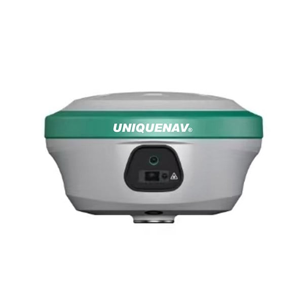
Selecting the right components and understanding which features truly matter can make or break a gnss rtk deployment. Whether you are working in land surveying, precision agriculture, construction layout, or geospatial data collection, a gnss rtk sys...
VIEW MORE
Achieving reliable centimeter-level accuracy in the field depends on more than simply powering on your receiver. gnss rtk technology has transformed surveying, construction, agriculture, and mapping workflows, but its positioning quality is sensitive...
VIEW MORE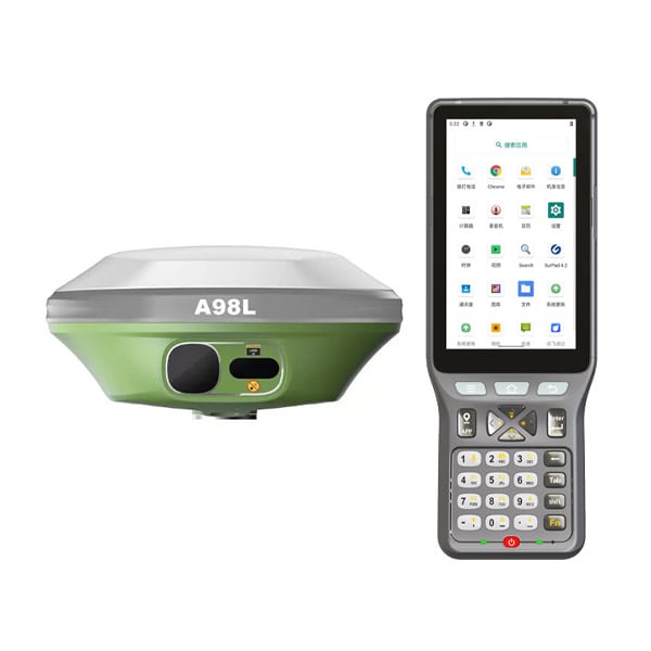
Urban canyons, deep gorges, and dense corridor environments are among the most demanding settings for any gnss receiver. Tall buildings and steep rock walls block direct satellite signals, create severe multipath interference, and cause rapid signal ...
VIEW MORE
A gnss receiver depends on precise signal timing from multiple satellites to calculate accurate position, velocity, and time. When those signals arrive via indirect paths — reflected off buildings, terrain, or other surfaces — the gnss re...
VIEW MORE
Surveying accuracy has always been the cornerstone of reliable fieldwork, and the introduction of RTK GNSS technology has fundamentally changed what professionals can achieve in the field. Traditional GNSS receivers, while useful for general position...
VIEW MORE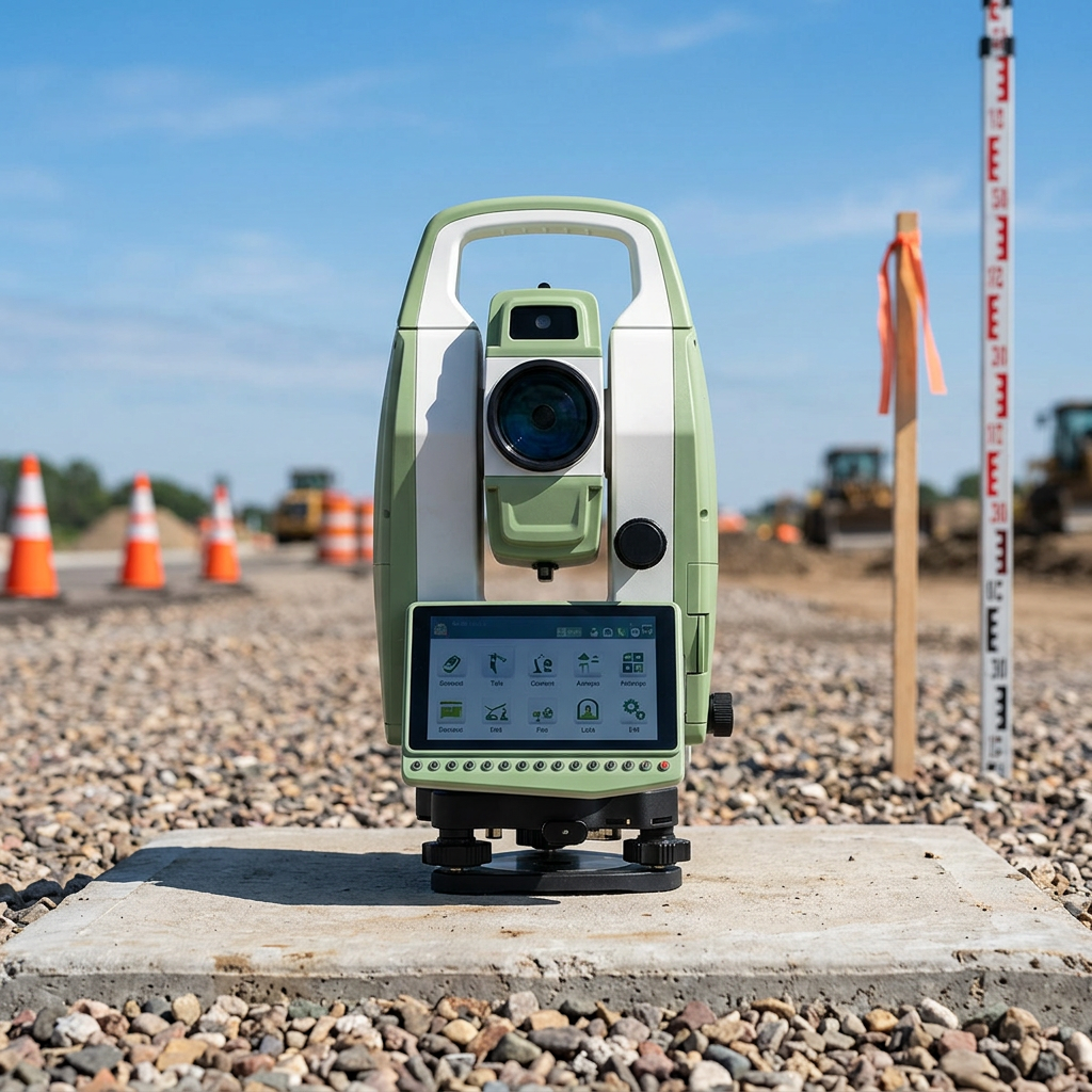
The android total station has rapidly become a preferred instrument across surveying, construction, and civil engineering projects. Its integration of Android-based computing with precision optical and electronic distance measurement delivers a compe...
VIEW MORE
Positioning accuracy has always been a critical challenge in surveying, construction, and precision agriculture. Traditional GNSS-based RTK systems have served these industries well for decades, but they come with inherent limitations when working in...
VIEW MORE
Choosing the right GNSS receiver is one of the most consequential decisions a surveying professional, GIS technician, or construction engineer can make. The right device will deliver the accuracy, reliability, and workflow compatibility your projects...
VIEW MORE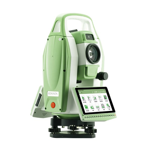
Selecting the right android total station is one of the most consequential equipment decisions a surveying team can make. Unlike conventional instruments, an android total station combines the precision of a traditional optical and electronic measure...
VIEW MORE
In the modern construction landscape, precision is no longer a luxury—it is the baseline for profitability. The transition from traditional string lines and manual stakes to digital site management has centered entirely on the capabilities of t...
VIEW MORE
Survey professionals depend on precision to produce reliable geospatial data, and the accuracy of a GNSS receiver directly determines the quality of those results. Whether conducting boundary surveys, topographic mapping, or infrastructure monitoring...
VIEW MORE
Understanding the factors that determine GNSS receiver performance quality is essential for professionals selecting positioning technology for surveying, mapping, construction, and precision agriculture applications. A GNSS receiver's ability to deli...
VIEW MORE