 Tianjin Unique Technology Co., Ltd
Tianjin Unique Technology Co., Ltd
Tianjin Unique Technology Co., Ltd
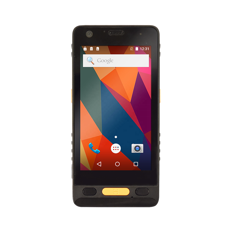
Choosing the right GIS data collector is one of the most important decisions a surveying team or geospatial professional can make. The right GIS data collector determines how accurately, efficiently, and reliably field data is captured, processed, an...
VIEW MORE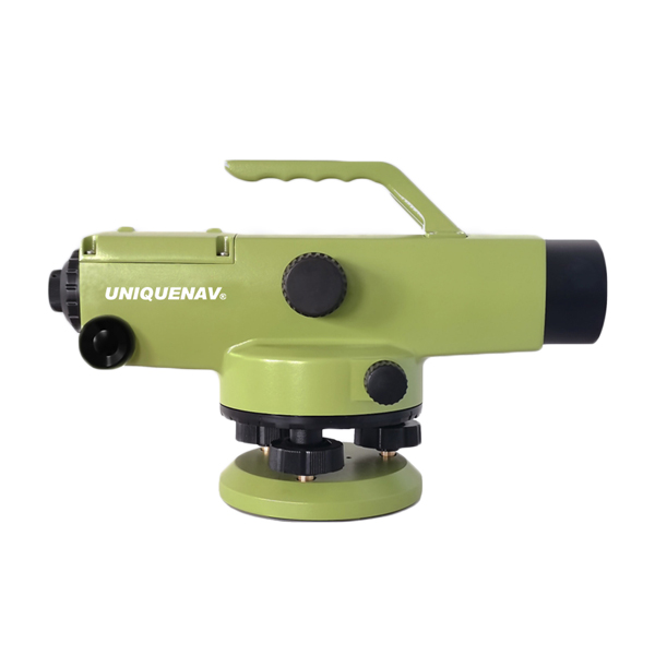
Choosing the right auto level for your project can directly affect the accuracy, efficiency, and outcome of your surveying or construction work. An auto level is a precise optical instrument that uses an internal compensator to maintain a horizontal ...
VIEW MORE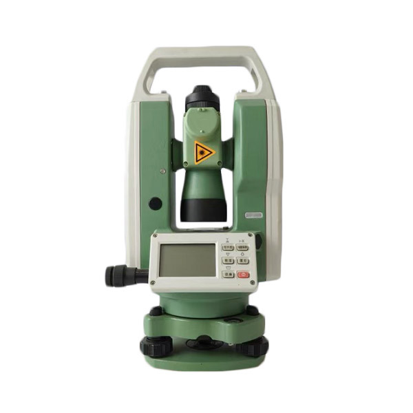
Choosing the right theodolite for your surveying project is not a decision to take lightly. Whether you are working on a construction site, conducting topographic surveys, or performing precision engineering measurements, the theodolite you select wi...
VIEW MORE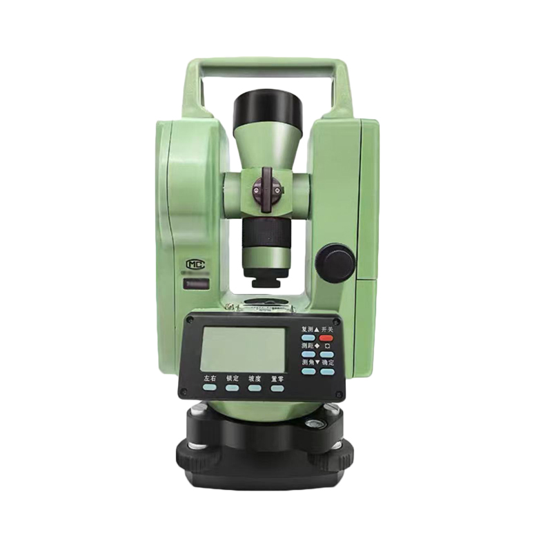
Choosing the right theodolite for a surveying project is a decision that shapes accuracy, efficiency, and long-term workflow. Whether you are working on a construction site, conducting topographic surveys, or performing precision alignment tasks, the...
VIEW MORE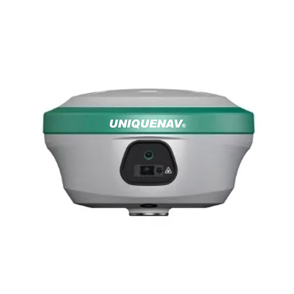
Modern surveying demands precision that traditional methods simply cannot guarantee. Whether working across large construction sites, agricultural fields, or complex infrastructure corridors, professionals need positioning solutions that deliver cent...
VIEW MORE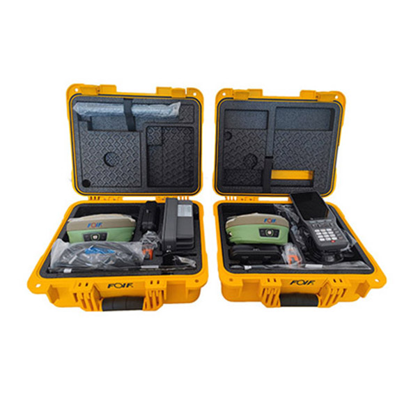
RTK technology has become a cornerstone of high-precision positioning across surveying, agriculture, construction, and mapping. When RTK performs well, it delivers centimeter-level accuracy that transforms field operations. But RTK signal performance...
VIEW MORE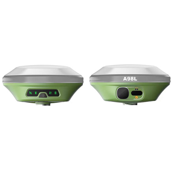
When accuracy defines the success of a mapping project, the choice of positioning technology becomes one of the most consequential decisions a surveyor or project manager can make. RTK, which stands for Real-Time Kinematic, is widely regarded as the ...
VIEW MORE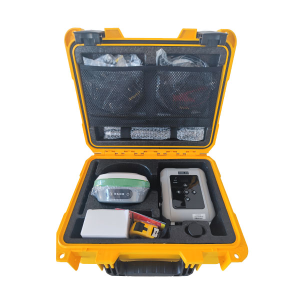
Choosing the right RTK system is one of the most consequential decisions a surveyor, engineer, or field data professional can make. RTK technology delivers centimeter-level positioning accuracy, but not every RTK receiver performs equally across all ...
VIEW MORE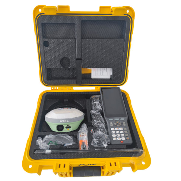
Getting accurate, reliable positioning from your RTK system depends almost entirely on how well it is configured. RTK technology delivers centimeter-level positioning accuracy, but only when the hardware, software, and environment are properly aligne...
VIEW MORE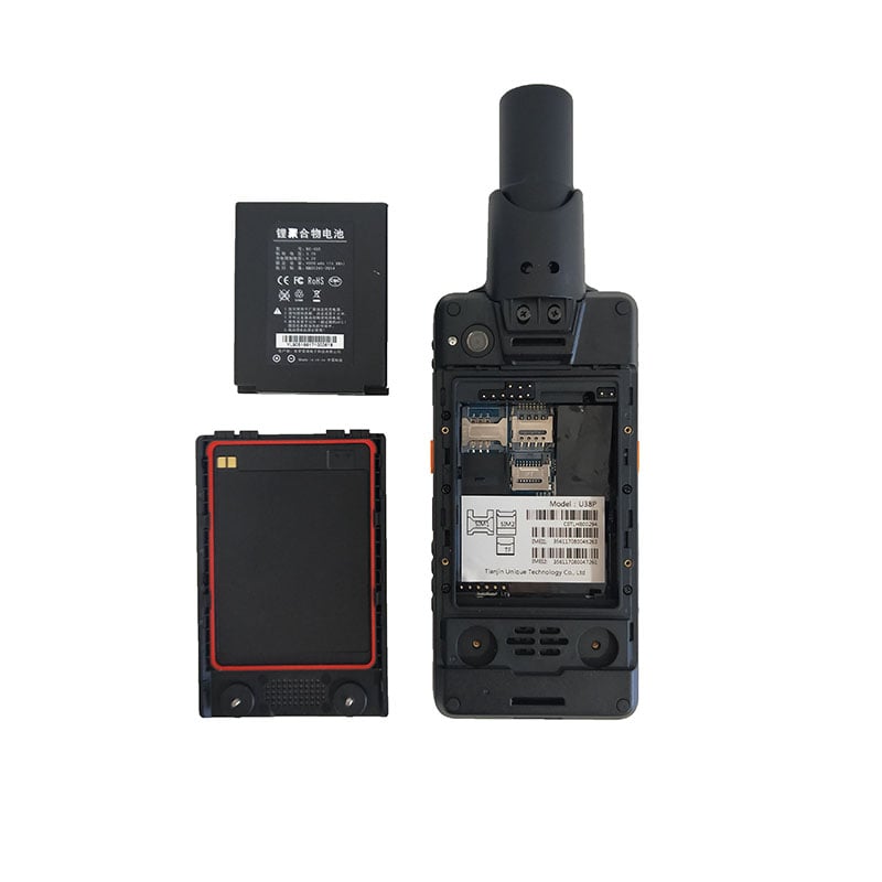
Revolutionizing Field Operations with Advanced GPS Technology The integration of high accuracy handheld GPS technology has transformed how professionals conduct forestry operations and fieldwork. These sophisticated devices have become indispensable ...
VIEW MORE
Essential Guide to Professional-Grade GPS Devices for Field Mapping Selecting the right high accuracy handheld GPS for outdoor mapping can significantly impact the success of your fieldwork and data collection. Whether you're a professional surveyor,...
VIEW MORE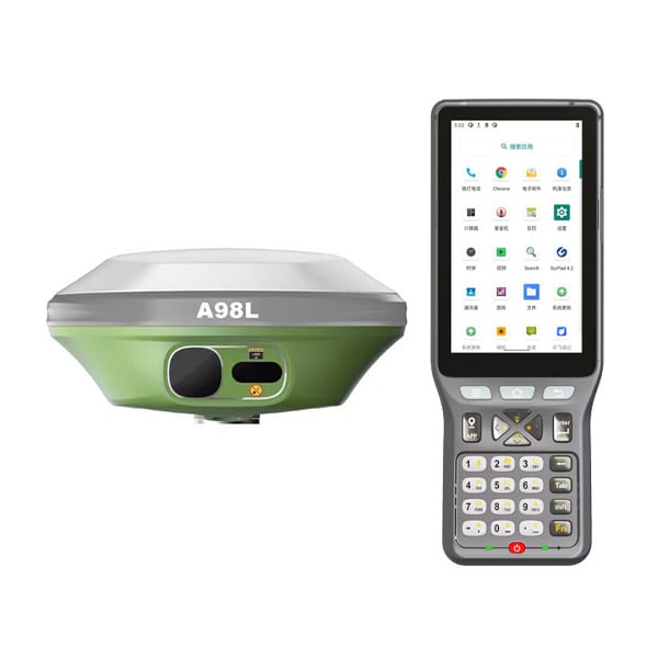
Revolutionizing Spatial Data Collection Through Advanced Positioning Systems The landscape of geospatial mapping is undergoing a remarkable transformation, driven by continuous advancements in GNSS RTK technology. This sophisticated positioning syste...
VIEW MORE EN
EN