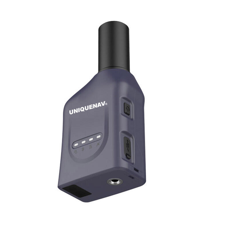
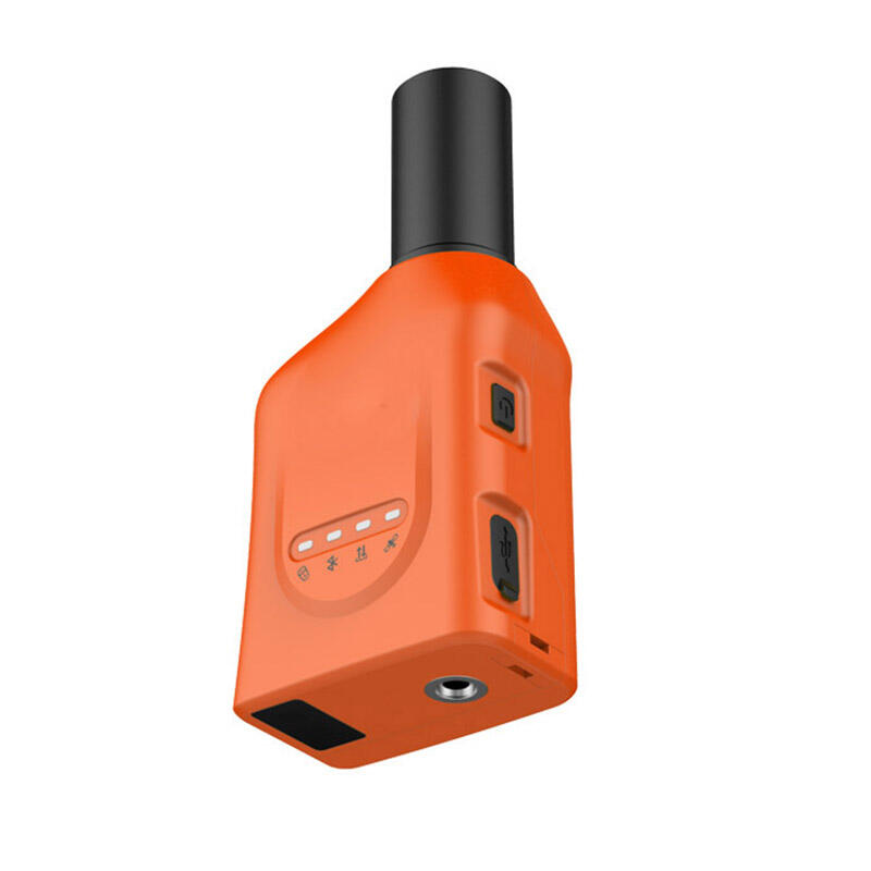
Revolutionizing Field Operations with Advanced GPS Technology
The integration of high accuracy handheld GPS technology has transformed how professionals conduct forestry operations and fieldwork. These sophisticated devices have become indispensable tools, enabling precise navigation, data collection, and resource management in challenging outdoor environments. As we delve into the various applications and benefits, we'll discover how these powerful instruments are reshaping traditional field practices and opening new possibilities for environmental research and conservation.
Essential Applications in Modern Forestry
Timber Management and Inventory
Professional foresters rely on high accuracy handheld GPS devices to conduct comprehensive timber inventories with unprecedented precision. These advanced tools enable them to mark and map individual trees, determine stand boundaries, and calculate timber volumes with minimal margin of error. The technology proves particularly valuable when establishing permanent sample plots for long-term forest monitoring, where even slight location discrepancies could compromise data consistency.
Forest managers can efficiently track harvesting operations, marking trees for removal while maintaining detailed spatial records of their activities. This level of accuracy helps optimize timber yield while ensuring sustainable forest management practices are properly implemented and documented.
Forest Health Monitoring and Disease Management
When it comes to monitoring forest health, high accuracy handheld GPS systems serve as crucial tools for tracking the spread of diseases and pest infestations. Field technicians can precisely map affected areas, document the progression of forest pathogens, and plan targeted intervention strategies. This capability is especially valuable when coordinating large-scale disease management efforts across multiple jurisdictions.
The technology enables specialists to return to exact locations for follow-up assessments, ensuring the effectiveness of treatment methods and providing valuable data for predictive modeling of disease spread patterns. This precise tracking helps forestry departments allocate resources more effectively and respond proactively to emerging threats.

Advanced Applications in Environmental Research
Biodiversity Mapping and Species Distribution
Environmental researchers utilize high accuracy handheld GPS technology to create detailed maps of species distribution and habitat characteristics. These devices allow scientists to record exact locations of rare plant species, animal nesting sites, and critical wildlife corridors. The precision of modern GPS units ensures that long-term studies maintain their integrity through accurate location referencing.
Research teams can efficiently conduct systematic surveys across large areas, recording biological observations with precise spatial coordinates. This data becomes invaluable for conservation planning, habitat restoration projects, and monitoring changes in biodiversity over time.
Watershed Analysis and Hydrological Studies
Water resource management benefits significantly from high accuracy handheld GPS applications. Field technicians can map stream networks, document erosion patterns, and identify critical watershed features with exceptional precision. The technology proves essential for monitoring water quality sampling locations and tracking changes in waterway morphology.
Researchers conducting hydrological studies can accurately map groundwater wells, springs, and other water features, creating comprehensive databases that support water resource management decisions. This precise spatial data helps in modeling watershed dynamics and predicting the impacts of climate change on water systems.
Professional Land Management Applications
Boundary Delineation and Property Surveys
Land managers and surveyors depend on high accuracy handheld GPS devices for efficient property boundary determination and documentation. These tools enable professionals to establish and verify property lines, easements, and right-of-ways with confidence. The technology significantly reduces the time and effort required for boundary surveys while maintaining high accuracy standards.
The ability to quickly navigate to previously established boundary markers and record their positions helps resolve property disputes and ensures accurate land management records. This precision is particularly valuable in areas where traditional survey markers may be difficult to locate or maintain.
Infrastructure Mapping and Maintenance
Field technicians use high accuracy handheld GPS technology to map and maintain various infrastructure elements in forested areas. This includes logging roads, culverts, bridges, and utility corridors. The precise positioning capabilities allow teams to efficiently locate and document infrastructure components for maintenance planning and emergency response.
The technology enables systematic infrastructure condition assessments, with accurate location data linked to inspection reports and maintenance records. This comprehensive approach to infrastructure management helps organizations optimize their maintenance budgets and prevent costly failures.
Frequently Asked Questions
What accuracy level can I expect from a high accuracy handheld GPS in forest conditions?
Under optimal conditions and with proper techniques, modern high accuracy handheld GPS devices can achieve sub-meter accuracy in forest environments. However, dense canopy cover can affect signal quality, typically resulting in accuracy ranges of 1-3 meters. Using external antennas and post-processing techniques can further improve accuracy in challenging conditions.
How do weather conditions affect high accuracy handheld GPS performance?
While modern GPS devices are designed to operate in various weather conditions, heavy cloud cover and precipitation can somewhat degrade signal quality. However, the impact is usually minimal, and most professional-grade units maintain acceptable accuracy levels even in adverse weather conditions.
What training is required to effectively use high accuracy handheld GPS in forestry applications?
Professional users typically benefit from both basic GPS operation training and specialized instruction in forestry-specific applications. This includes understanding satellite geometry, error sources, data collection protocols, and post-processing techniques. Many manufacturers and forestry organizations offer specialized training programs for their specific equipment and applications.

