Mastering Precision Positioning with Advanced RTK GPS Technology
The evolution of GPS technology has revolutionized how we approach precision measurements in surveying, agriculture, and construction. At the heart of this transformation lies RTK GPS calibration, a sophisticated process that enables centimeter-level accuracy in positioning systems. This advanced technology has become indispensable for professionals who require ultra-precise measurements in their daily operations.
Understanding the intricacies of RTK GPS calibration is crucial for achieving optimal performance in high-precision applications. From establishing base stations to maintaining consistent accuracy across various environmental conditions, proper calibration ensures that your RTK GPS system delivers reliable results time after time.
Essential Components of RTK GPS Systems
Base Station Setup and Configuration
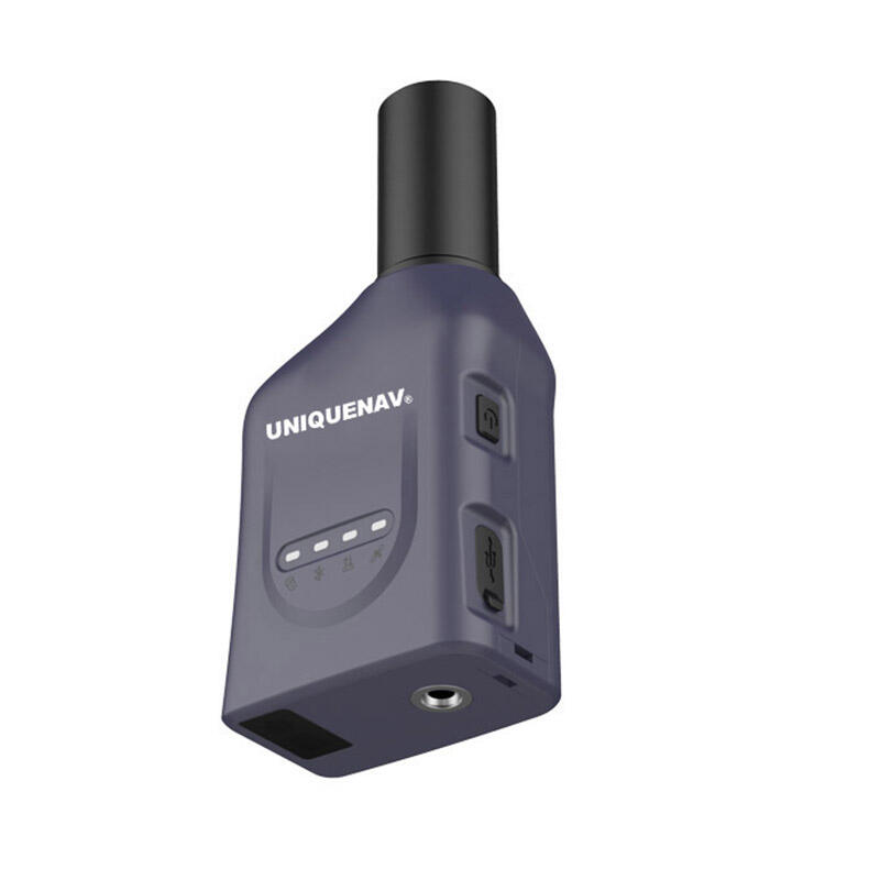
The foundation of accurate RTK GPS calibration begins with proper base station setup. A well-configured base station serves as the reference point for all subsequent measurements. The station must be positioned in a location with clear sky view, minimal multipath interference, and stable ground conditions. The antenna height must be precisely measured and entered into the system, as even minor errors at this stage can propagate through all subsequent measurements.
Professional surveyors recommend performing regular maintenance checks on base station equipment, including verifying power supply stability and communication link quality. The base station's coordinates must be accurately determined through long observation sessions or tie to known survey control points to ensure absolute position accuracy.
Rover Unit Optimization
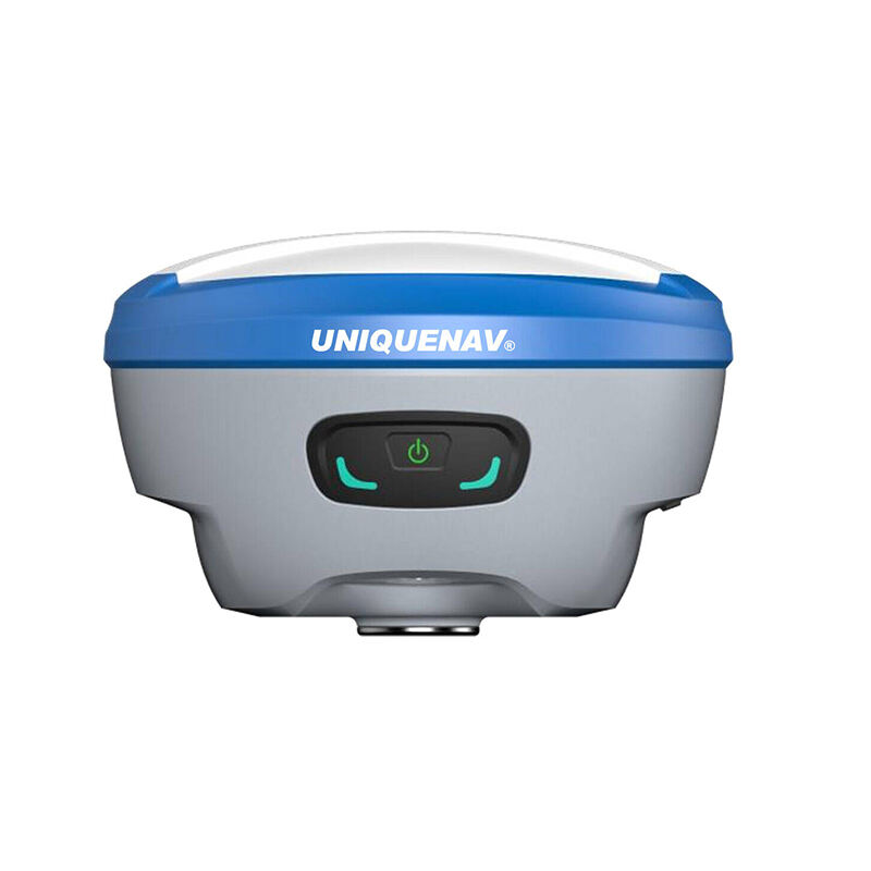
The rover unit represents the mobile component of the RTK GPS system, requiring careful calibration to maintain its connection with the base station. Modern rover units incorporate sophisticated electronics and sensors that must be regularly calibrated to account for factors such as antenna phase center variations and internal sensor biases.
Environmental factors such as temperature fluctuations and electromagnetic interference can affect rover performance. Therefore, implementing proper calibration protocols that account for these variables is essential for maintaining measurement accuracy throughout operational periods.

Advanced Calibration Techniques
Initial System Alignment
Professional RTK GPS calibration begins with a systematic alignment process. This involves establishing a clear line of sight between the base station and rover unit, verifying communication protocols, and conducting initial accuracy assessments. Surveyors typically perform a series of test measurements at known points to verify system performance before beginning actual survey work.
The alignment process must account for local conditions such as magnetic declination and geometric dilution of precision (GDOP). Modern RTK systems often include automated calibration routines, but understanding the underlying principles ensures optimal results.
Environmental Compensation
Environmental factors significantly impact RTK GPS calibration accuracy. Temperature variations, atmospheric conditions, and electromagnetic interference can all affect measurement quality. Professional calibration procedures incorporate compensation mechanisms for these variables, ensuring consistent accuracy across different operating conditions.
Advanced users implement monitoring systems to track environmental parameters and adjust calibration settings accordingly. This proactive approach helps maintain system accuracy even in challenging conditions.
Quality Control and Validation
Measurement Verification Protocols
Implementing robust verification protocols is crucial for maintaining RTK GPS calibration accuracy. This includes regular checks against known control points, redundant measurements, and statistical analysis of results. Professional surveyors establish standardized procedures for validating measurements and identifying potential calibration issues before they affect project outcomes.
Documentation of verification results provides valuable historical data for system performance analysis and helps identify long-term trends that might indicate the need for recalibration or equipment maintenance.
Error Detection and Resolution
Even well-calibrated RTK GPS systems can experience occasional errors. Understanding common error sources and implementing effective detection methods helps maintain system reliability. Regular monitoring of quality indicators such as signal-to-noise ratios, satellite geometry, and solution types helps identify potential issues before they impact measurement accuracy.
Professional users develop systematic approaches to troubleshooting calibration issues, including standardized procedures for identifying and resolving common problems. This proactive approach minimizes downtime and ensures consistent measurement quality.
Future Developments in RTK GPS Calibration
Emerging Technologies
The field of RTK GPS calibration continues to evolve with new technologies and methodologies. Machine learning algorithms are being developed to optimize calibration procedures automatically, while improved sensor technologies promise even greater accuracy levels. Integration with other positioning technologies such as inertial measurement units (IMUs) and visual odometry systems offers enhanced reliability and performance.
Industry experts anticipate significant advances in automated calibration systems that will simplify the process while improving accuracy. These developments will make high-precision positioning more accessible to a broader range of users while maintaining professional-grade results.
Industry Standards and Best Practices
Professional organizations and industry bodies are developing new standards for RTK GPS calibration to ensure consistency and reliability across different applications. These standards address aspects such as calibration procedures, validation methods, and documentation requirements. Adherence to these standards helps ensure that calibration results are repeatable and traceable.
The evolution of industry standards reflects the growing importance of RTK GPS technology in various fields, from precision agriculture to autonomous vehicle navigation. As applications become more demanding, calibration standards continue to adapt to meet new requirements.
Frequently Asked Questions
How often should RTK GPS calibration be performed?
Professional best practices recommend performing comprehensive RTK GPS calibration at least quarterly, with additional checks whenever equipment is moved or environmental conditions change significantly. Daily initialization and verification procedures should also be implemented to ensure consistent accuracy.
What factors most significantly affect RTK GPS calibration accuracy?
The most critical factors affecting RTK GPS calibration accuracy include satellite geometry, atmospheric conditions, multipath interference, and base station stability. Professional users must consider these factors when establishing calibration procedures and selecting measurement locations.
Can RTK GPS calibration be performed in challenging environments?
While RTK GPS calibration can be performed in various environments, optimal results require clear sky view and minimal interference. Professional users employ specialized techniques and equipment for challenging environments, such as urban canyons or heavy forest cover, to maintain accuracy standards.

