Posisie-akkuraatheid was altyd 'n kritieke uitdaging in opmeting, konstruksie en presisielandbou. Tradisionele GNSS-gebaseerde RTK-stelsels het hierdie bedrywe baie goed gedien vir dekades, maar hulle het inherente beperkings wanneer daar in...
BESKOU MEER
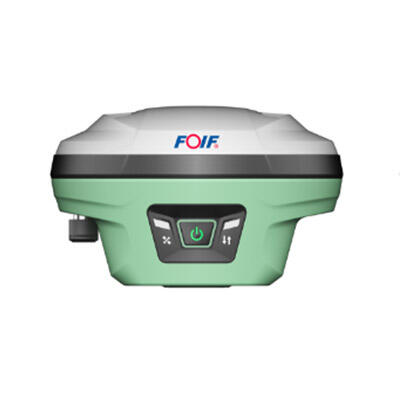
Die keuse van die regte GNSS-ontvanger is een van die mees gevolgryke besluite wat 'n opmetingsprofessional, GIS-tegnikus of konstrueringenieur kan neem. Die regte toestel sal die akkuraatheid, betroubaarheid en werkvlugvertoonbaarheid lewer wat jou projekte benodig...
BESKOU MEER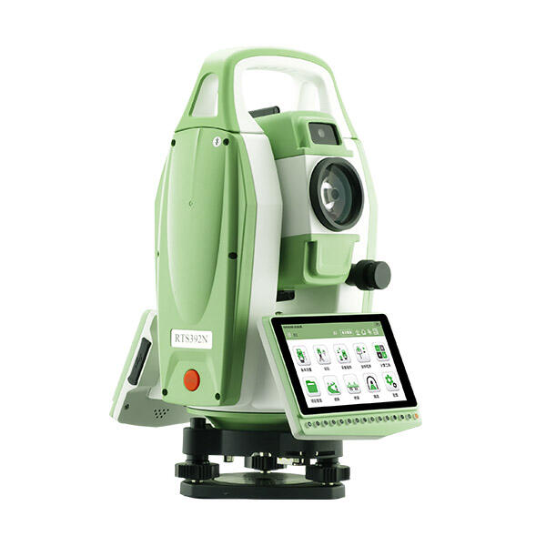
Die keuse van die regte Android-totale stasie is een van die mees gevolgryke toestelbesluite wat 'n opmetingspan kan neem. In teenstelling met konvensionele instrumente, kombineer 'n Android-totale stasie die presisie van 'n tradisionele optiese en elektroniese meetinstrument...
BESKOU MEER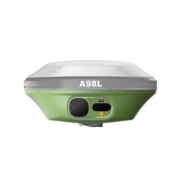
In die moderne boulandskap is presisie nie meer 'n luksus nie—dit is die basislyn vir winsgewendheid. Die oorgang van tradisionele toulyne en handmatige pale na digitale werfbestuur het heeltemal op die vermoëns van t...
BESKOU MEER
Opnameprofessionele hang af van presisie om betroubare georuimtelike data te produseer, en die akkuraatheid van 'n GNSS-ontvanger bepaal direk die gehalte van daardie resultate. Of dit nou grensopnames, topografiese kaartwerk of infrastruktuurmonitering is...
BESKOU MEER
Om die faktore wat die prestasiekwaliteit van 'n GNSS-ontvanger bepaal, te verstaan, is noodsaaklik vir professionele wat posisioneringstegnologie kies vir opname-, kaartwerk-, bou- en presisielandboutoepassings. 'n GNSS-ontvanger se vermoë om...
BESKOU MEER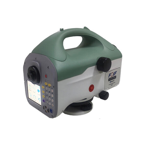
Meetnoukeurigheid is die hoeksteen van presisie in konstruksie, opmeting, masjieninstallasie en industriële uitlyningstake. Tradisionele spiritvlakke en meganiese instrumente het hierdie doeleindes reeds baie jare lank gedien, maar hul staat op visuele ...
BESKOU MEER
Die aankoop van 'n digitale vlakmeter vir professionele gebruik vereis 'n noukeurige evaluering van tegniese spesifikasies, akkuraatheidstandaarde en funksionele vermoëns wat direk invloed op die betroubaarheid van metings en bedryfsdoeltreffendheid het. Of u nou in konstruksie werk, bou- of masjienbedryf is, moet u seker maak dat die vlakmeter aan u spesifieke vereistes voldoen...
BESKOU MEER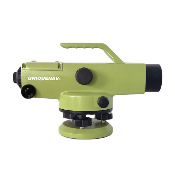
Wanneer presisie die meeste saak maak in konstruksie- en opmetingsprojekte, word die keuse van die regte outovlakmeter 'n kritieke besluit wat die sukses van jou hele bedryf kan beïnvloed. 'n Outovlakmeter dien as die ruggraat van akkurate hoogtemetings ...
BESKOU MEER
Bou- en opmetkundige professionele mense soek voortdurend na gereedskap wat presisie verbeter terwyl tydrowende handmatige prosesse verminder word. Die outovlakmeter is een van die belangrikste instrumente in moderne terreinvlakmaakoperasies en het die manier waarop ... getransformeer.
BESKOU MEER
Opnameprofessionele en konstrueringenieurs staar kritieke besluite in die gesig wanneer hulle meetinstrumente vir hul projekte kies. Die keuse tussen tradisionele opnameinstrumente en moderne geïntegreerde stelsels kan 'n beduidende impak op projekdoeltreffendheid hê...
BESKOU MEER
Die bou- en ingenieurswese het die afgelope dekade 'n beduidende transformasie in meetinstrumente beleef. Van hierdie vooruitgang het digitale vlakmeters na vore getree as die verkose keuse vir professionele gebruikers wat presisie, e...
BESKOU MEER