Essential Guide to Professional-Grade GPS Devices for Field Mapping
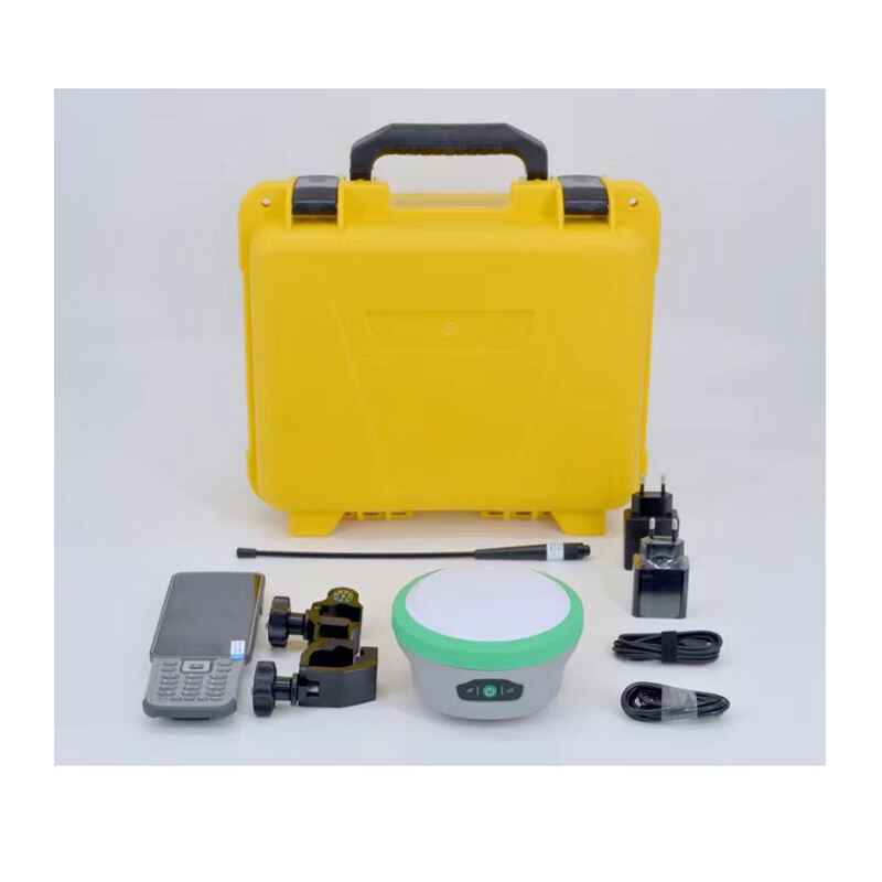
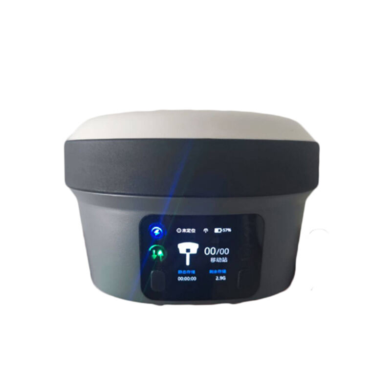
Selecting the right high accuracy handheld GPS for outdoor mapping can significantly impact the success of your fieldwork and data collection. Whether you're a professional surveyor, environmental researcher, or GIS specialist, having reliable positioning technology is crucial. Modern high accuracy handheld GPS devices offer unprecedented precision, durability, and functionality that make them indispensable tools for outdoor mapping projects.
Today's market offers various sophisticated options, each with unique features designed to meet specific mapping requirements. Understanding these capabilities and matching them to your needs is essential for making an informed investment. Let's explore the key factors that will help you choose the perfect high accuracy handheld GPS device for your outdoor mapping adventures.
Understanding GPS Accuracy Standards
Precision Metrics and Measurement Systems
When evaluating a high accuracy handheld GPS, understanding precision metrics is fundamental. Professional-grade devices typically offer accuracy ranging from sub-meter to centimeter-level precision. This level of accuracy is achieved through various correction methods, including real-time kinematic (RTK) positioning and differential GPS (DGPS) capabilities.
The measurement system employed by the device also plays a crucial role. Most professional units support multiple coordinate systems and datums, allowing seamless integration with existing mapping platforms. Look for devices that offer both geographic coordinates (latitude/longitude) and projected coordinate systems (UTM, State Plane) to ensure compatibility with your mapping requirements.
Signal Reception and Satellite Systems
Modern high accuracy handheld GPS receivers can track multiple satellite constellations, including GPS, GLONASS, Galileo, and BeiDou. This multi-constellation capability significantly improves position accuracy and reliability, especially in challenging environments with limited sky visibility.
Advanced receivers also feature multi-frequency capabilities, allowing them to track different satellite signals simultaneously. This technology helps minimize signal errors caused by atmospheric interference and multipath effects, resulting in more precise position measurements.

Essential Hardware Features
Antenna Design and Performance
The antenna is a critical component of any high accuracy handheld GPS device. Professional-grade units typically feature high-sensitivity antennas optimized for precise signal reception. Look for devices with external antenna options, as they can provide better performance in challenging conditions, such as under dense canopy or in urban environments.
Some advanced models incorporate multi-band antennas that can receive signals across different frequency ranges. This capability enhances position accuracy and provides more reliable performance in various environmental conditions.
Battery Life and Power Management
Extended field operations require reliable power sources. The best high accuracy handheld GPS devices offer sophisticated power management features and long battery life. Look for units with hot-swappable batteries that allow continuous operation without powering down the device.
Consider devices that support multiple power options, including rechargeable batteries and external power sources. Some professional models can operate for 8-12 hours on a single charge, making them suitable for full-day mapping sessions.
Software and Data Management Capabilities
Field Collection Software
The software interface of your high accuracy handheld GPS is crucial for efficient data collection. Look for devices with intuitive, customizable data collection forms that can be tailored to your specific mapping needs. The ability to create custom attribute fields, dropdown menus, and validation rules can significantly streamline your workflow.
Advanced mapping software should support real-time background maps, including satellite imagery and topographic data. This feature helps verify collected data in the field and ensures accurate feature placement relative to existing landmarks.
Data Export and Integration
Seamless data transfer and integration capabilities are essential for professional mapping workflows. Choose a high accuracy handheld GPS that supports common GIS file formats and can easily export data to your preferred mapping software. Look for devices that offer wireless data transfer options, including Bluetooth and Wi-Fi connectivity.
Consider the device's compatibility with cloud-based mapping platforms and ability to synchronize data across multiple devices. This functionality is particularly valuable for team projects and real-time collaboration.
Environmental Considerations and Durability
Weather Resistance and Rugged Design
Outdoor mapping often involves working in challenging weather conditions. Professional high accuracy handheld GPS devices should meet strict durability standards, including IP67 or IP68 ratings for water and dust resistance. Look for units with robust construction that can withstand drops, vibrations, and extreme temperatures.
Consider devices with scratch-resistant screens and protective covers that maintain visibility in bright sunlight. Some models offer specialized features like glove-compatible touchscreens and night-mode displays for versatile operation.
Operating Temperature Range
Different environments require different operating specifications. High accuracy handheld GPS devices should maintain reliable performance across a wide temperature range. Professional units typically operate from -20°C to +60°C (-4°F to +140°F), ensuring functionality in various climate conditions.
Look for devices with thermal management features that prevent overheating during extended use in hot conditions. Some models include special coating or materials that improve grip and handling in extreme temperatures.
Frequently Asked Questions
What accuracy level do I need for professional mapping?
For professional outdoor mapping, you typically need sub-meter accuracy at minimum. Many applications require centimeter-level precision, which can be achieved with RTK-enabled high accuracy handheld GPS devices. The specific accuracy requirements depend on your project specifications and industry standards.
How do environmental factors affect GPS accuracy?
Environmental factors such as tree canopy, urban canyons, and atmospheric conditions can impact GPS accuracy. Professional devices mitigate these effects through advanced signal processing, multi-constellation support, and correction services. However, extreme conditions may still require additional techniques or equipment to maintain optimal accuracy.
What is the typical investment range for professional GPS devices?
Professional high accuracy handheld GPS devices typically range from $2,000 to $10,000 or more, depending on accuracy specifications and features. While this represents a significant investment, the precision and reliability these devices offer make them cost-effective for professional mapping applications.

