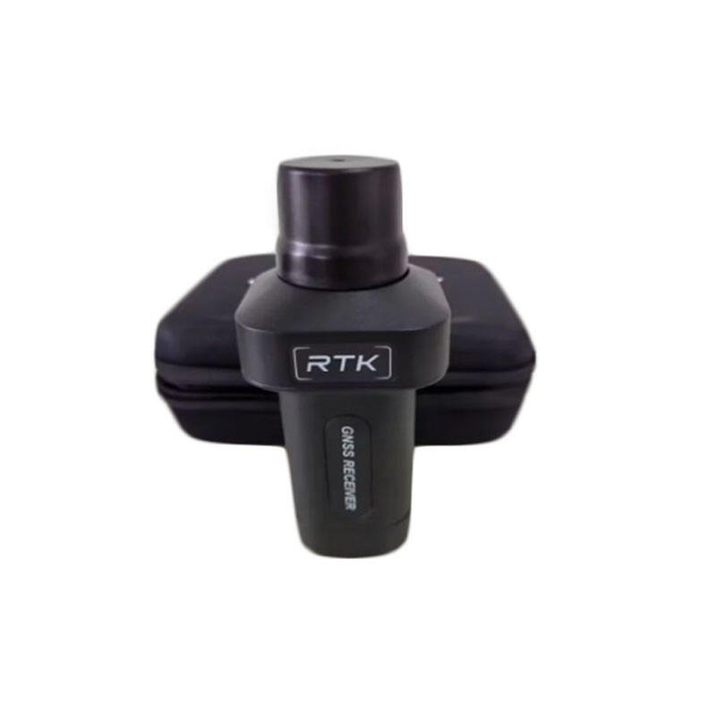
Revolutionizing Spatial Data Collection Through Advanced Positioning Systems
The landscape of geospatial mapping is undergoing a remarkable transformation, driven by continuous advancements in GNSS RTK technology. This sophisticated positioning system has become the backbone of modern surveying, construction, and mapping applications, offering unprecedented accuracy and efficiency in real-time measurements. As we stand at the cusp of a new era in spatial data collection, the integration of RTK solutions with emerging technologies is reshaping how we understand and interact with our physical environment.
The evolution of GNSS RTK technology represents a significant leap forward from traditional surveying methods, enabling centimeter-level accuracy in real-time positioning. This capability has become increasingly crucial in an era where precise spatial data is fundamental to smart city development, autonomous navigation, and environmental monitoring.
Core Components of Modern GNSS RTK Systems
Advanced Signal Processing and Multi-Constellation Support
Modern GNSS RTK technology leverages sophisticated signal processing algorithms that can simultaneously track multiple satellite constellations, including GPS, GLONASS, Galileo, and BeiDou. This multi-constellation approach significantly improves accuracy and reliability, particularly in challenging environments where signal obstruction might be an issue.
The integration of advanced signal processing techniques allows for better multipath mitigation and faster initialization times, crucial factors in maintaining consistent performance across diverse operating conditions. These improvements have made GNSS RTK technology more robust and dependable for professional applications.
Real-Time Correction Networks and Data Communication
The backbone of modern RTK systems lies in their ability to utilize real-time correction networks. These networks consist of permanently installed reference stations that continuously monitor satellite signals and compute corrections. The advent of 5G networks and improved internet connectivity has revolutionized how these corrections are transmitted to rovers in the field.
Enhanced data communication protocols ensure that correction data reaches users with minimal latency, enabling true real-time positioning solutions. This advancement has particularly benefited applications requiring instant positioning feedback, such as machine guidance and precision agriculture.

Emerging Applications and Industry Integration
Smart Infrastructure and Urban Planning
GNSS RTK technology is becoming increasingly vital in smart infrastructure development. Cities worldwide are leveraging this technology for precise mapping of utilities, transportation networks, and building infrastructure. The ability to capture accurate spatial data in real-time has transformed how urban planners approach development projects and infrastructure maintenance.
The integration of RTK solutions with Building Information Modeling (BIM) systems has created new possibilities for construction monitoring and asset management. This synergy enables real-time verification of construction progress and ensures alignment with digital design models.
Precision Agriculture and Environmental Monitoring
The agricultural sector has embraced GNSS RTK technology for precision farming applications. From automated guidance systems for tractors to precise seed placement and variable rate application of inputs, RTK positioning has become essential for modern agricultural operations. This technology enables farmers to optimize resource usage while minimizing environmental impact.
Environmental scientists and researchers are utilizing RTK solutions for accurate monitoring of land deformation, coastal erosion, and climate change impacts. The high precision offered by this technology allows for detailed tracking of environmental changes over time.
Future Technological Developments
Integration with Artificial Intelligence
The future of GNSS RTK technology lies in its integration with artificial intelligence and machine learning algorithms. These advanced systems will be capable of real-time data processing and analysis, enabling more intelligent decision-making in various applications. AI-powered RTK solutions will automatically adapt to changing environmental conditions and optimize positioning performance.
Machine learning algorithms will enhance the accuracy of RTK positioning by learning from historical data patterns and environmental factors. This will lead to more reliable positioning solutions, even in challenging environments where traditional RTK methods might struggle.
Enhanced Miniaturization and Power Efficiency
Ongoing developments in hardware miniaturization and power efficiency are making GNSS RTK technology more accessible and practical for a wider range of applications. Next-generation RTK receivers will be smaller, more energy-efficient, and capable of longer operation times, making them suitable for integration into various devices and platforms.
These advancements will enable new applications in areas such as wearable technology, drone navigation, and Internet of Things (IoT) devices, where size and power consumption are critical factors.
Frequently Asked Questions
What accuracy can be achieved with modern GNSS RTK technology?
Modern GNSS RTK technology typically achieves horizontal accuracy of 1-2 centimeters and vertical accuracy of 2-3 centimeters under optimal conditions. This level of precision can be maintained in real-time, making it suitable for various high-accuracy applications.
How does GNSS RTK technology compare to traditional surveying methods?
GNSS RTK technology offers significant advantages over traditional surveying methods, including faster data collection, real-time results, and reduced manpower requirements. While traditional methods might still be preferred in some specific scenarios, RTK has become the go-to solution for most modern surveying applications.
What are the key factors affecting RTK positioning accuracy?
Several factors influence RTK positioning accuracy, including satellite geometry, atmospheric conditions, multipath effects, and the quality of the correction data. Modern systems incorporate various techniques to mitigate these factors and maintain consistent accuracy.

