
A GIS data collector is one of the most demanding tools in the field professional's arsenal. Unlike office equipment that operates in controlled environments, a GIS data collector is routinely exposed to dust, moisture, extreme temperatures, physical...
VIEW MORE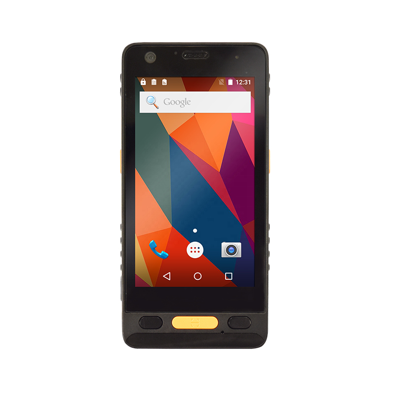
In the construction industry, capturing accurate spatial data is no longer optional — it is a foundational requirement for project success. A GIS data collector serves as the primary field instrument for recording, verifying, and transmitting g...
VIEW MORE
Choosing the right field tool can make or break a survey project. A GIS data collector is a purpose-built device that combines high-accuracy GNSS positioning with rugged data capture capabilities, allowing surveyors and GIS professionals to record sp...
VIEW MORE
A GIS data collector is a specialized field device designed to capture, record, and manage geographic and attribute information directly in the field. Unlike general-purpose tablets or smartphones, a purpose-built GIS data collector integrates high-a...
VIEW MORE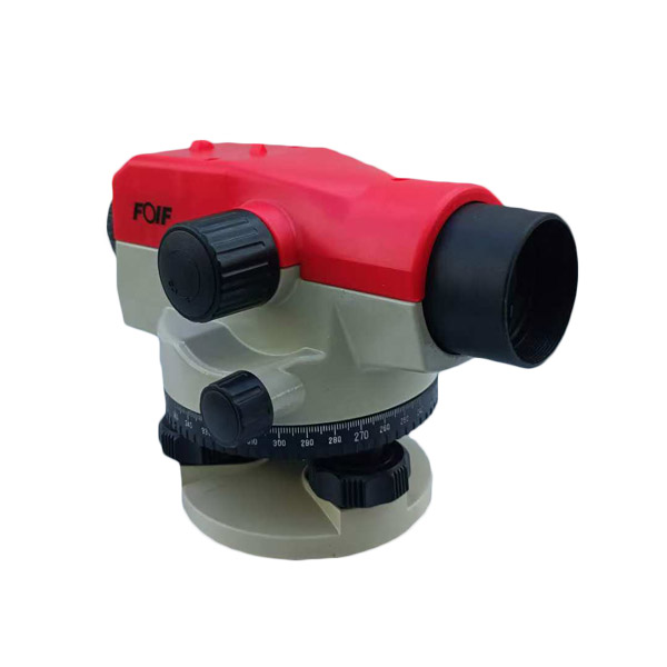
Selecting the right auto level for a surveying or construction project is never a one-size-fits-all decision. The measurement range of an auto level is one of the most critical specifications to evaluate before any fieldwork begins, and getting it wr...
VIEW MORE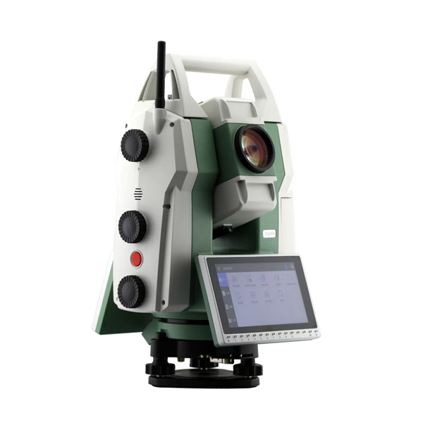
Selecting the right total station is one of the most consequential purchasing decisions a surveying team or construction firm can make. A total station combines electronic distance measurement, angle measurement, and onboard data processing into a si...
VIEW MORE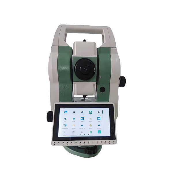
A total station is one of the most essential instruments in modern surveying, combining angle measurement, distance measurement, and data recording into a single compact device. Understanding how a total station achieves accurate measurements helps s...
VIEW MORE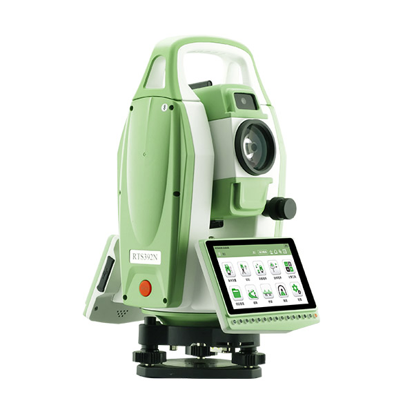
A total station is one of the most essential instruments in modern land surveying, combining electronic distance measurement with angular readings to deliver precise field data. However, even the most advanced total station can produce unreliable res...
VIEW MORE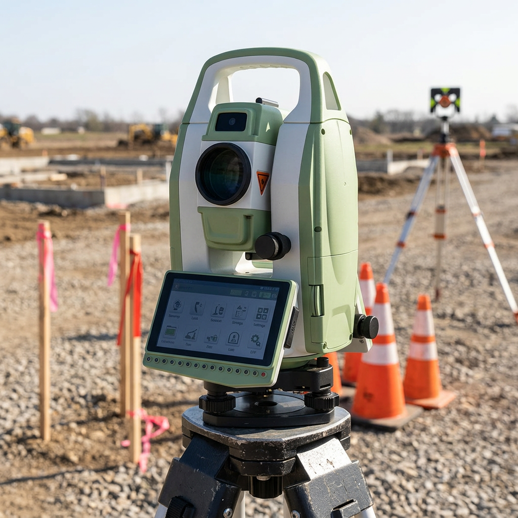
The total station has become one of the most essential instruments in modern surveying and measurement. By combining electronic distance measurement with angle measurement in a single device, the total station delivers speed, precision, and versatili...
VIEW MORE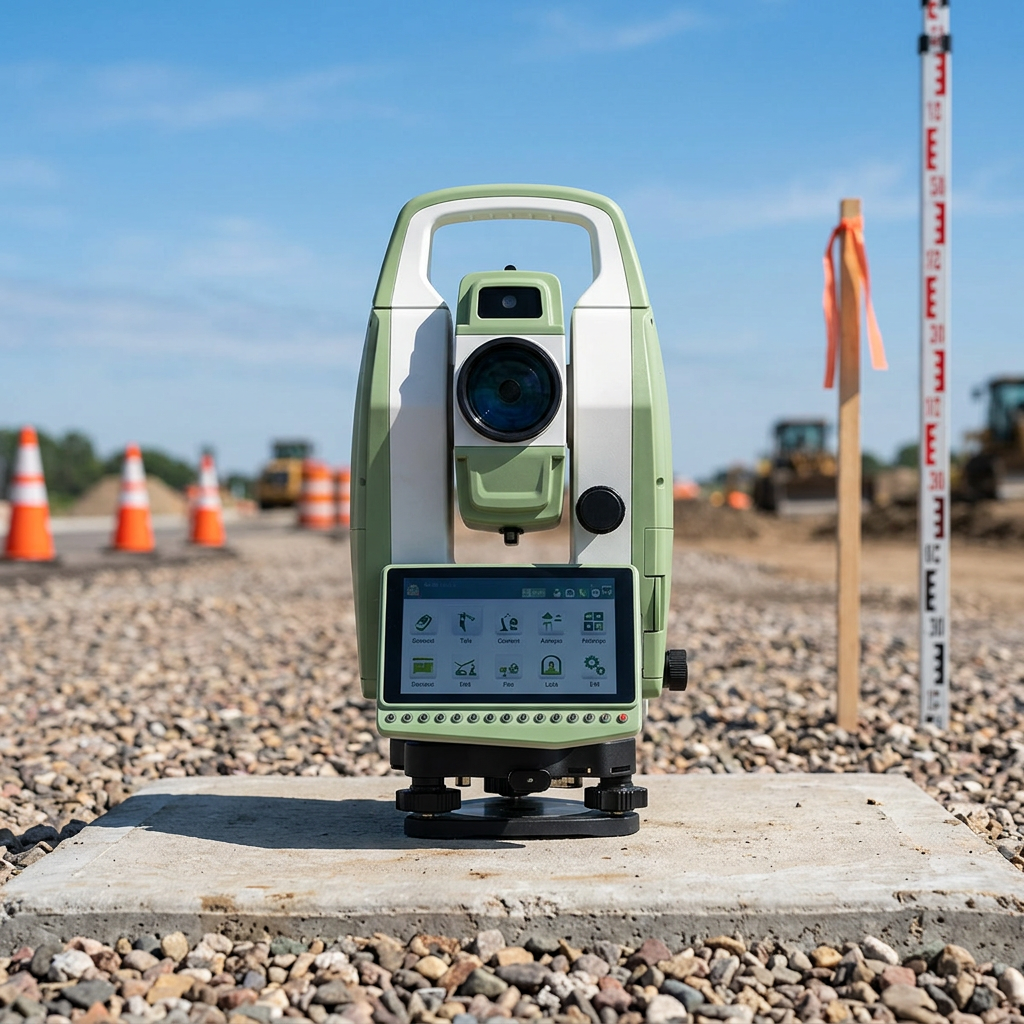
Selecting the right total station for your field team is one of the most consequential equipment decisions a surveying or construction manager can make. A total station directly affects how quickly crews collect data, how accurately they perform layo...
VIEW MORE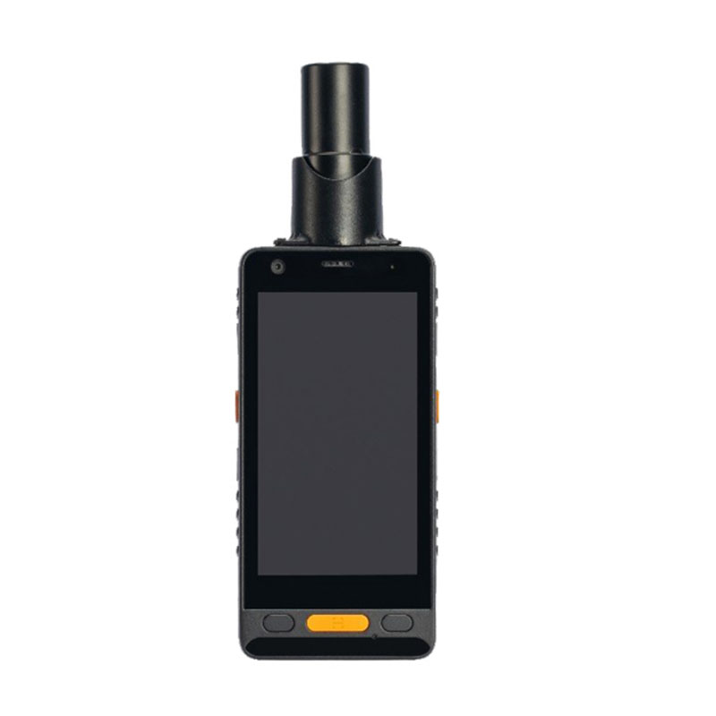
When selecting a high accuracy handheld GPS device for professional field work, the sheer number of technical specifications can feel overwhelming. Not every spec on a datasheet translates into real-world performance gains, and choosing the wrong uni...
VIEW MORE
Choosing the right GIS data collector is one of the most important decisions a surveying team or geospatial professional can make. The right GIS data collector determines how accurately, efficiently, and reliably field data is captured, processed, an...
VIEW MORE