Understanding Modern RTK GPS Technology in Professional Surveying
Professional surveying has undergone a revolutionary transformation with the advent of RTK GPS systems. These sophisticated tools have redefined precision measurement, enabling surveyors to achieve centimeter-level accuracy in real-time. Modern RTK GPS systems combine advanced satellite technology with correction data to deliver unparalleled positioning accuracy, making them indispensable for today's surveying professionals.
The evolution of these systems represents a quantum leap from traditional surveying methods, offering not just improved accuracy but also significant time savings and enhanced workflow efficiency. As we delve deeper into the world of RTK GPS systems, we'll explore their capabilities, applications, and how they're reshaping the surveying landscape.
Core Components of Professional RTK GPS Systems
Base Station Technology
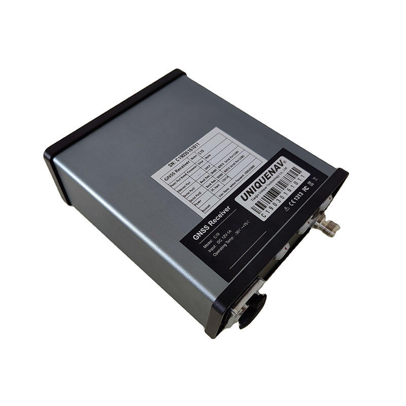
The foundation of any RTK GPS system lies in its base station configuration. This crucial component remains stationary at a known point, continuously receiving signals from GPS satellites and calculating correction data. Modern base stations are equipped with advanced receivers capable of tracking multiple satellite constellations, including GPS, GLONASS, Galileo, and BeiDou, ensuring robust performance even in challenging environments.
These base stations utilize sophisticated algorithms to process raw satellite data and generate real-time correction messages. The quality of the base station's antenna and receiver directly impacts the overall system accuracy, making it a critical consideration for professional surveyors seeking optimal results.
Rover Units and Mobile Technology
The rover component of RTK GPS systems represents the mobile end of the surveying solution. Modern rovers are designed with ergonomics and functionality in mind, featuring lightweight construction and intuitive interfaces. These units receive both satellite signals and correction data from the base station, enabling real-time position calculations with centimeter-level precision.
Advanced rover units often incorporate tilt compensation technology, allowing accurate measurements even when the pole isn't perfectly plumb. This feature significantly enhances productivity in the field, especially in areas with limited accessibility or challenging terrain.

Advanced Features in Modern RTK GPS Systems
Multi-Constellation Support
Today's RTK GPS systems leverage multiple satellite constellations to enhance accuracy and reliability. By simultaneously tracking signals from GPS, GLONASS, Galileo, and BeiDou systems, these devices maintain precise positioning even in environments with partial sky visibility. This multi-constellation capability ensures consistent performance across various working conditions and geographical locations.
The integration of multiple satellite systems also improves the time to first fix (TTFF) and reduces initialization times, allowing surveyors to begin work more quickly and maintain productivity throughout the day. This enhanced satellite availability is particularly valuable in urban canyons and areas with significant overhead obstructions.
Communication Technologies
Modern RTK GPS systems employ various communication methods to transmit correction data between base and rover units. Long-range radio modems, cellular networks, and internet protocols provide surveyors with flexible options for different project requirements. The latest systems often feature integrated cellular modems supporting 4G/5G networks, enabling seamless connection to RTK networks and cloud services.
Advanced communication protocols ensure reliable data transmission even in areas with challenging network conditions. Many systems now incorporate automatic failover mechanisms, switching between available communication methods to maintain continuous operation.
Field Applications and Best Practices
Optimizing Survey Accuracy
Achieving optimal accuracy with RTK GPS systems requires careful attention to several key factors. Proper mission planning, including checking satellite availability and geometric dilution of precision (GDOP) values, helps ensure reliable results. Surveyors should also consider environmental factors such as multipath effects and atmospheric conditions that can impact system performance.
Regular calibration and validation of RTK GPS systems are essential for maintaining accuracy standards. This includes performing site calibrations when working in local coordinate systems and regularly checking known control points to verify system performance.
Workflow Integration
Modern RTK GPS systems seamlessly integrate with various surveying workflows and software solutions. Field data can be directly transferred to office software for processing and analysis, eliminating manual data entry and reducing potential errors. Cloud-based solutions enable real-time data sharing between field crews and office staff, improving project coordination and efficiency.
Advanced systems often include features for quality control and documentation, automatically recording metadata such as GDOP values, number of satellites, and correction quality. This information helps validate survey results and maintain project documentation requirements.
Future Trends in RTK GPS Technology
Artificial Intelligence and Machine Learning
The integration of AI and machine learning in RTK GPS systems is opening new possibilities for automated feature detection and intelligent data processing. These technologies help identify patterns in measurement data, flag potential errors, and optimize system performance based on environmental conditions and user behavior.
Future developments may include predictive maintenance capabilities, automated quality control, and enhanced error detection algorithms. These advancements will further improve the reliability and efficiency of surveying operations.
Enhanced Positioning Technology
Emerging technologies such as precise point positioning (PPP) and RTK-PPP fusion are expanding the capabilities of traditional RTK GPS systems. These innovations promise to reduce or eliminate the need for local base stations while maintaining high accuracy levels. Integration with other sensing technologies, including inertial measurement units (IMUs) and visual positioning systems, will provide more robust and versatile surveying solutions.
The continued evolution of satellite systems and ground infrastructure will enable even higher accuracy levels and improved reliability in challenging environments. This includes better performance in urban areas, under canopy, and in other traditionally difficult surveying conditions.
Frequently Asked Questions
What accuracy can I expect from modern RTK GPS systems?
Modern RTK GPS systems typically achieve horizontal accuracy of 8-15mm and vertical accuracy of 15-30mm under optimal conditions. These accuracy levels depend on factors such as satellite geometry, atmospheric conditions, and the quality of the equipment being used.
How do RTK GPS systems maintain accuracy in challenging environments?
RTK GPS systems maintain accuracy through multiple strategies, including multi-constellation support, advanced error modeling, and sophisticated filtering algorithms. Many systems also incorporate tilt compensation and IMU technology to enhance performance in difficult conditions.
What are the key maintenance requirements for RTK GPS systems?
Regular maintenance includes firmware updates, antenna care, cable inspection, and periodic calibration checks. It's also important to validate system performance against known control points and maintain proper documentation of system checks and calibrations.