Mastering the Art of Survey Equipment Precision
In the world of modern surveying, total station calibration stands as the cornerstone of accurate measurements and reliable data collection. This essential process ensures that surveying professionals can maintain the highest standards of precision in their work, whether for construction projects, land development, or infrastructure planning. Understanding the nuances of total station calibration is crucial for anyone working in the geospatial industry, as even minor calibration errors can lead to significant discrepancies in field measurements.
Understanding Total Station Calibration Fundamentals
The Core Components of Calibration
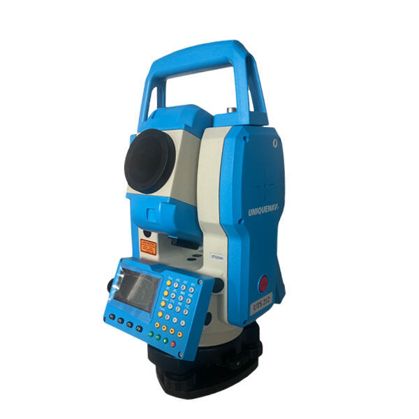
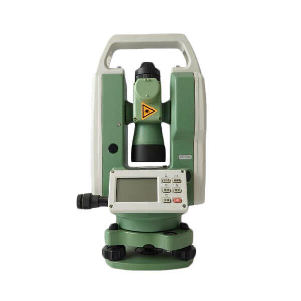
Total station calibration encompasses several critical components that work together to ensure accurate measurements. The process begins with checking and adjusting the optical and electronic systems, including the vertical and horizontal circles, compensator, and EDM (Electronic Distance Measurement) unit. These components must be perfectly aligned and calibrated to deliver precise measurements in both angle and distance calculations.
The calibration process also involves verifying the instrument's collimation error, horizontal collimation error, and vertical index error. These systematic errors, if left unchecked, can compromise the accuracy of survey data and lead to costly mistakes in project execution. Regular maintenance of these components ensures the total station maintains its specified accuracy throughout its operational life.
Essential Equipment and Environmental Considerations
Successful total station calibration requires specific equipment and optimal environmental conditions. The basic toolkit includes calibration targets, tripods, precise leveling equipment, and reference benchmarks. Environmental factors such as temperature, humidity, and atmospheric pressure can significantly impact calibration accuracy, making it essential to perform calibrations under stable conditions.
Professional surveyors must also consider the time of day when performing calibrations, as rapid temperature changes can affect instrument stability. Morning hours typically offer the most stable conditions, with minimal thermal interference and optimal visibility for precise adjustments.
Step-by-Step Calibration Process
Initial Setup and Preparation
The calibration process begins with proper instrument setup, which is crucial for achieving accurate results. Start by selecting a stable location with good visibility and minimal vibration. The total station must be mounted on a sturdy tripod and carefully leveled using the built-in electronic or optical level vials. Allow the instrument to acclimate to the ambient temperature for at least 15 minutes before beginning calibration procedures.
During this preparation phase, inspect all mechanical components for any signs of damage or wear. Check the tribrach for stability and ensure all locking mechanisms function properly. The instrument's battery should be fully charged to prevent any interruptions during the calibration process.
Vertical and Horizontal Angle Calibration
The vertical and horizontal angle calibration requires careful attention to detail and precise measurements. Begin by establishing reference points at known angles and distances. Take multiple sets of measurements in both face left and face right positions to identify any systematic errors in the angle measuring system.
Record all measurements systematically and compare them with known values or previous calibration results. Any deviations beyond the manufacturer's specified tolerance levels must be addressed through mechanical or electronic adjustments. This process may need to be repeated several times to ensure consistent results.

Advanced Calibration Techniques
Electronic Distance Measurement (EDM) Calibration
EDM calibration is a critical component of total station calibration that ensures accurate distance measurements. This process involves measuring known baseline distances under various atmospheric conditions. The calibration baseline should be established on stable ground with precisely known distances between points.
Modern total stations often include built-in atmospheric correction capabilities, but these must be verified and calibrated regularly. Temperature, pressure, and humidity sensors should be checked against certified reference instruments to ensure accurate atmospheric corrections are applied to distance measurements.
Software Integration and Data Verification
Contemporary total station calibration often involves sophisticated software tools that help streamline the process and ensure accuracy. These programs can automatically calculate correction factors and generate detailed calibration reports. It's essential to understand how to properly use these tools and interpret their results.
After completing the calibration procedures, verify the results through independent checks and documentation. Store calibration records in both digital and physical formats, including dates, conditions, and any adjustments made. This documentation is crucial for quality assurance and may be required for project certification.
Maintenance and Troubleshooting
Regular Maintenance Schedule
Implementing a regular maintenance schedule is vital for maintaining calibration accuracy over time. This includes daily checks of basic functions, weekly inspections of mechanical components, and monthly verification of calibration parameters. Keep detailed records of all maintenance activities and any observed changes in instrument performance.
Clean optical components regularly using appropriate materials and techniques. Inspect seals and protective covers for damage that could allow moisture or dust intrusion. Regular maintenance not only preserves calibration accuracy but also extends the instrument's service life.
Common Calibration Issues and Solutions
Even with careful maintenance, calibration issues can arise. Common problems include drift in angle measurements, inconsistent distance readings, and compensator errors. Understanding how to identify and address these issues quickly is essential for maintaining survey accuracy.
When troubleshooting calibration problems, follow a systematic approach to isolate the source of the error. Compare measurements with known reference points and consult manufacturer documentation for specific troubleshooting procedures. Some issues may require professional service technician intervention.
Frequently Asked Questions
How Often Should Total Station Calibration Be Performed?
Total station calibration should be performed at regular intervals, typically every six months for instruments in regular use. However, additional calibration may be necessary after transportation, exposure to extreme conditions, or if any unusual readings are observed. Some organizations require calibration before each major project to ensure maximum accuracy.
What Environmental Factors Affect Calibration Accuracy?
Temperature fluctuations, vibration, humidity, and atmospheric pressure all impact calibration accuracy. It's best to calibrate in stable conditions, avoiding extreme temperatures and direct sunlight. The instrument should be protected from wind and mechanical vibrations during the calibration process.
What Are the Signs That Recalibration Is Needed?
Key indicators include inconsistent measurements, difficulty in leveling the instrument, unusual compensator behavior, or error messages during operation. Regular comparison with known reference points can help identify when recalibration is necessary. Any significant impact or dropping of the instrument should prompt immediate recalibration.

