Measurement accuracy is the cornerstone of precision in construction, surveying, machine installation, and industrial alignment tasks. Traditional spirit levels and mechanical instruments have long served these purposes, but their reliance on visual ...
VIEW MORE
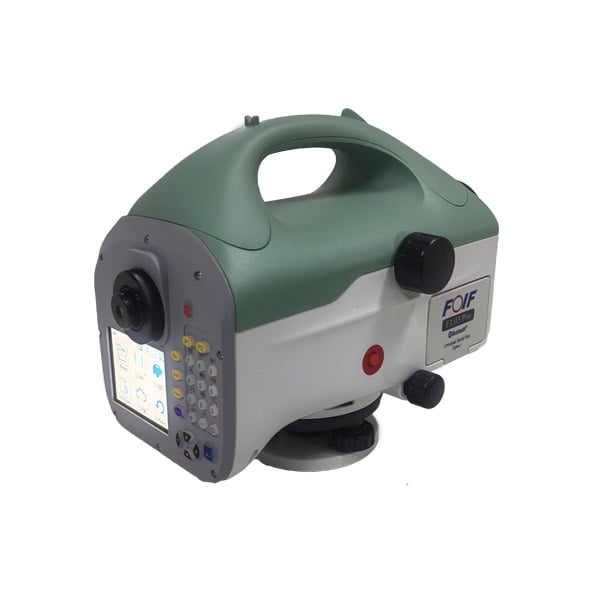
Purchasing a digital level for professional use requires careful evaluation of technical specifications, accuracy standards, and functional capabilities that directly impact measurement reliability and operational efficiency. Whether you work in cons...
VIEW MORE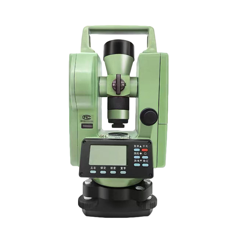
In professional surveying and construction layout, the accuracy of a theodolite can be the difference between a project that aligns perfectly and one that requires costly corrections. Whether you are measuring horizontal angles, vertical angles, or e...
VIEW MORE
Choosing the right theodolite for a construction, surveying, or engineering project is not simply a matter of picking the most expensive model on the shelf. The features built into a theodolite determine how accurately it measures horizontal and vert...
VIEW MORE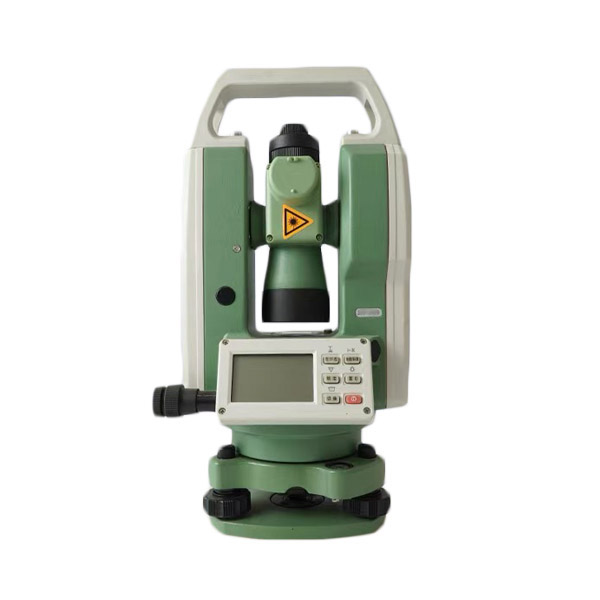
A theodolite is one of the most critical instruments in surveying, construction, and engineering applications. It measures horizontal and vertical angles with extraordinary accuracy, forming the backbone of tasks that range from land boundary determi...
VIEW MORE
When precision matters in land surveying, construction layout, or geospatial data collection, the theodolite stands as one of the most trusted optical and electronic instruments in the field. Unlike simple angle-measuring devices, a theodolite is eng...
VIEW MORE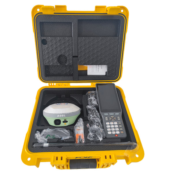
Selecting the right RTK equipment is one of the most consequential decisions a surveying team, construction firm, or precision agriculture operation will make. The wrong choice leads to costly rework, positioning errors, and workflow disruptions that...
VIEW MORE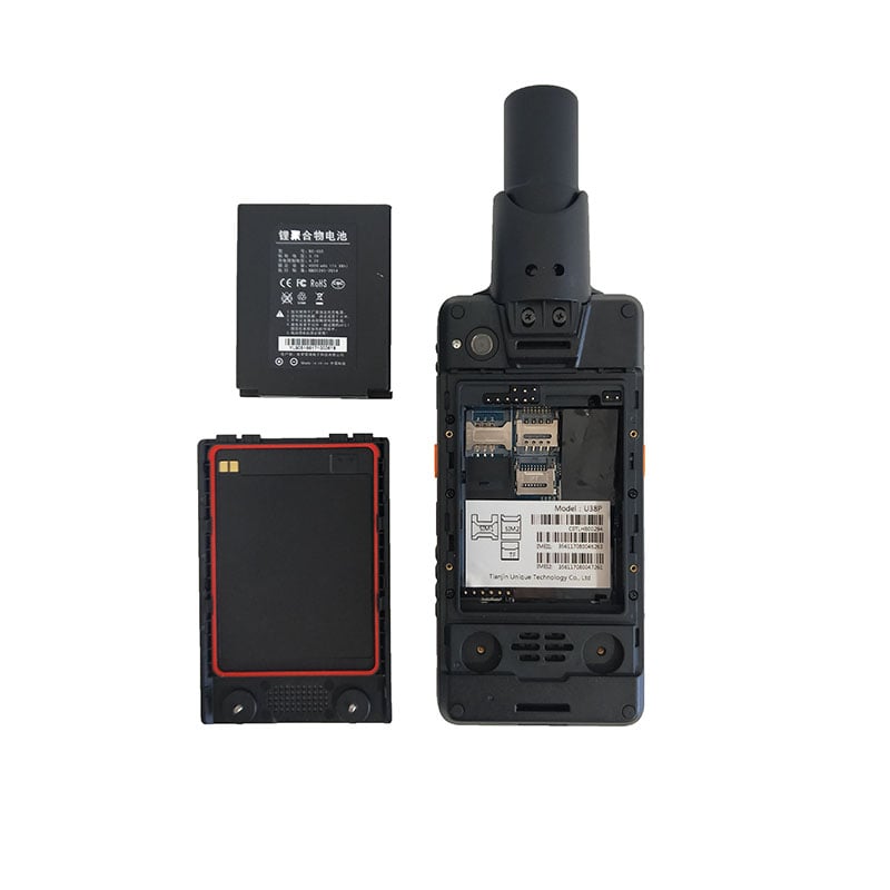
When you invest in a high accuracy handheld GPS device for field operations, surveying, or precision data collection, the manufacturer's stated specifications are only the beginning of the story. Real-world reliability depends on how the device perfo...
VIEW MORE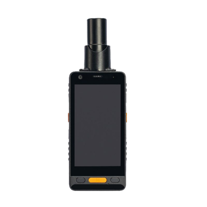
Choosing the right high accuracy handheld GPS is a decision that directly impacts the quality of your fieldwork, the reliability of your data, and the efficiency of your entire workflow. Whether you are working in land surveying, precision agricultur...
VIEW MORE
When professionals depend on precise location data in the field, the performance of a high accuracy handheld GPS device can make or break an entire project. Whether you are working in land surveying, agriculture, construction, or environmental monito...
VIEW MORE
Surveying has always demanded precision, accountability, and reliable data collection under real-world field conditions. Whether a team is mapping land boundaries, conducting topographic assessments, or supporting infrastructure development, the marg...
VIEW MORE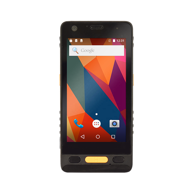
A GIS data collector is only as productive as its battery allows it to be. In demanding fieldwork environments — from dense forests to remote survey corridors — a unit that dies mid-session can disrupt workflows, compromise data integrity...
VIEW MORE