Understanding the Revolution in Modern Land Surveying
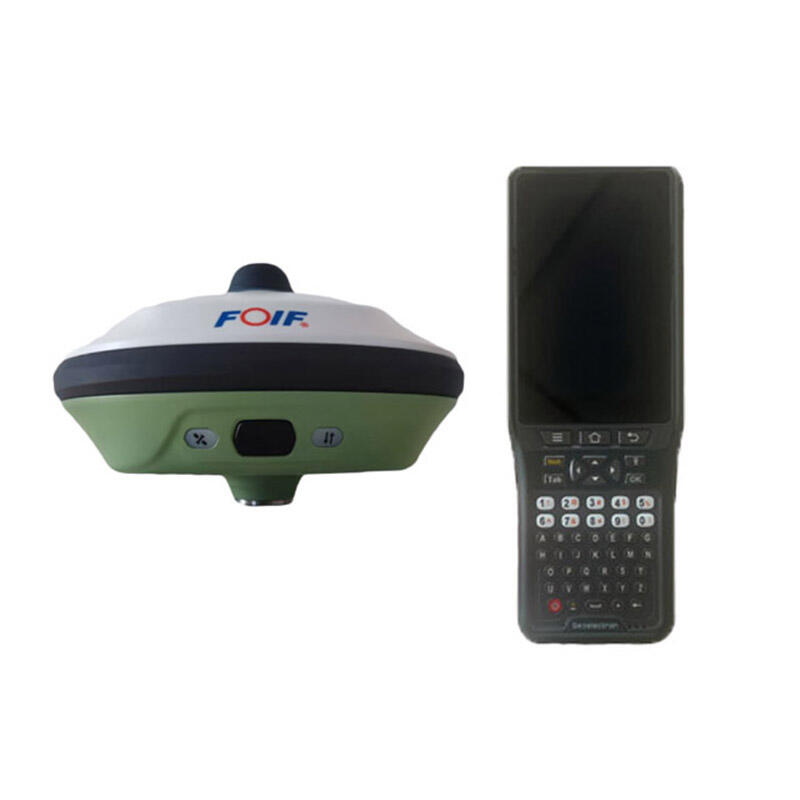
The surveying industry has undergone a dramatic transformation with the advent of GNSS receivers, revolutionizing how professionals collect, process, and utilize spatial data. These sophisticated devices have become the cornerstone of modern surveying operations, offering unprecedented accuracy and efficiency that traditional methods simply cannot match.
GNSS receivers have fundamentally changed the landscape of surveying by enabling professionals to capture precise positioning data in real-time, dramatically reducing the time and effort required for field operations. This technology harnesses signals from multiple satellite constellations, providing surveyors with reliable measurements even in challenging environments.
Core Components of GNSS Surveying Technology
Advanced Satellite Signal Processing
Modern GNSS receivers incorporate sophisticated signal processing capabilities that enable them to track and utilize signals from multiple satellite constellations simultaneously. This multi-constellation support includes GPS, GLONASS, Galileo, and BeiDou, providing surveyors with enhanced coverage and improved accuracy in various working conditions.
The integration of advanced signal processing algorithms allows GNSS receivers to minimize errors caused by atmospheric interference, multipath signals, and other environmental factors. This results in more reliable measurements and reduced time spent on verification and post-processing.
Real-Time Kinematic Technology
Real-Time Kinematic (RTK) technology represents a significant advancement in GNSS receivers, enabling centimeter-level accuracy in real-time positioning. This capability dramatically improves workflow efficiency by eliminating the need for extensive post-processing of survey data.
RTK-enabled GNSS receivers utilize reference station data to correct positioning errors on the fly, allowing surveyors to verify their measurements instantly and make immediate adjustments if necessary. This immediate feedback mechanism significantly reduces the likelihood of costly resurveys.
Field Operation Enhancements
Streamlined Data Collection
GNSS receivers have transformed the data collection process in surveying operations. These devices enable surveyors to capture accurate positioning data with minimal setup time, significantly reducing the overall duration of field operations. The integration of user-friendly interfaces and automated measurement functions further streamlines the data collection workflow.
Modern GNSS receivers often feature built-in quality control mechanisms that automatically validate measurements and alert operators to potential errors or inconsistencies. This real-time validation helps ensure data accuracy and reduces the need for return visits to survey sites.
Enhanced Mobility and Coverage
The portable nature of modern GNSS receivers allows surveyors to cover larger areas more efficiently than ever before. These devices can be quickly deployed and relocated, enabling rapid data collection across diverse terrains and environments. The reduction in equipment setup time translates directly into increased productivity and cost savings.
Advanced GNSS receivers also feature extended battery life and rugged construction, allowing for extended field operations without the need for frequent equipment maintenance or replacement. This durability and reliability contribute significantly to the overall efficiency of surveying projects.
Data Management and Integration
Seamless Software Integration
Modern GNSS receivers excel in their ability to integrate seamlessly with various surveying software platforms and data management systems. This integration enables real-time data transfer and processing, allowing survey teams to begin analysis and reporting while still in the field.
The compatibility of GNSS receivers with common file formats and data standards facilitates smooth workflows and reduces the time spent on data conversion and formatting. This interoperability extends to both desktop and cloud-based applications, providing flexibility in data management approaches.
Advanced Data Processing Capabilities
GNSS receivers incorporate sophisticated data processing capabilities that enable automatic error detection and correction. These features help ensure the highest possible accuracy while minimizing the time required for post-processing and quality control.
The integration of machine learning algorithms in modern GNSS receivers enhances their ability to identify and filter out erroneous measurements, resulting in more reliable data sets. This automated quality control reduces the manual effort required for data validation and increases overall project efficiency.
Future Developments and Trends
Emerging Technologies
The evolution of GNSS receivers continues with the integration of new technologies such as artificial intelligence and augmented reality. These advancements promise to further enhance surveying efficiency by providing more intuitive interfaces and automated decision-making capabilities.
Future GNSS receivers are expected to feature improved signal processing capabilities, enabling even greater accuracy and reliability in challenging environments. The integration of additional satellite constellations and signals will further enhance the robustness of positioning solutions.
Industry Applications
The applications of GNSS receivers continue to expand beyond traditional surveying into new fields such as precision agriculture, construction monitoring, and autonomous vehicle navigation. This diversification drives ongoing innovation in receiver technology and functionality.
The increasing demand for real-time spatial data in various industries is spurring the development of more sophisticated GNSS receivers with enhanced connectivity and processing capabilities. These advances promise to further revolutionize surveying efficiency and accuracy.
Frequently Asked Questions
What accuracy can modern GNSS receivers achieve?
Modern GNSS receivers equipped with RTK technology can achieve centimeter-level accuracy in real-time measurements. Under optimal conditions, horizontal accuracy can reach within 8-15mm, while vertical accuracy typically ranges from 15-30mm.
How do weather conditions affect GNSS receiver performance?
While GNSS receivers can operate in most weather conditions, extreme atmospheric conditions like heavy rain or dense cloud cover may affect signal strength and accuracy. However, modern receivers incorporate advanced algorithms to minimize weather-related impacts on measurement quality.
What is the typical battery life of professional GNSS receivers?
Professional-grade GNSS receivers typically offer 8-12 hours of continuous operation on a single charge. Many models feature hot-swappable batteries, allowing for extended field operations without downtime.