Choosing the right GIS data collector is one of the most important decisions a surveying team or geospatial professional can make. The right GIS data collector determines how accurately, efficiently, and reliably field data is captured, processed, and transferred back to the office. Whether you are mapping utilities, conducting environmental assessments, or managing land records, the capabilities built into your GIS data collector directly affect the quality of every project you complete.
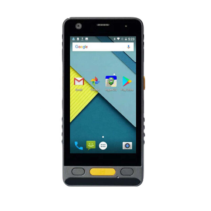
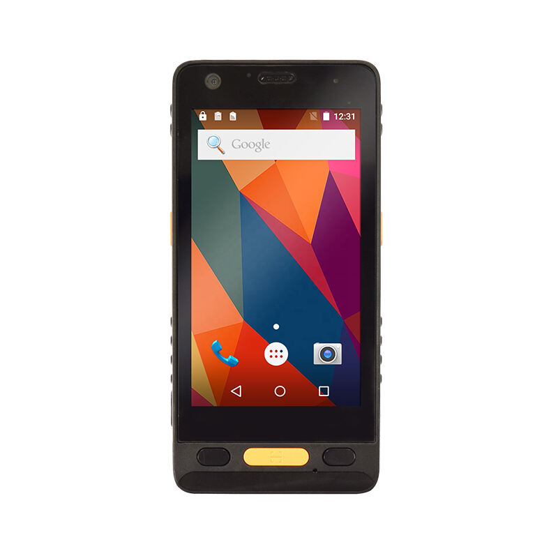
A professional-grade GIS data collector is far more than a simple handheld device with a GPS chip. Modern field conditions demand that a GIS data collector deliver centimeter-level positioning accuracy, long battery endurance, rugged construction, and seamless software integration. Understanding exactly which features matter most will help procurement teams and field technicians select a GIS data collector that performs under pressure and delivers consistent results across diverse terrain and application types.
Positioning Accuracy and GNSS Performance
Why Accuracy Is the Foundation of a GIS Data Collector
At the core of every GIS data collector is its GNSS engine. A GIS data collector that cannot deliver reliable, high-accuracy positioning undermines the entire value of field data collection. Professionals working in cadastral mapping, infrastructure inspection, or precision agriculture require a GIS data collector capable of achieving sub-meter or even centimeter-level accuracy without extensive post-processing. Look for a GIS data collector that supports multiple satellite constellations, including GPS, GLONASS, BeiDou, and Galileo, to ensure strong signal availability across all geographic regions.
RTK, or Real-Time Kinematic, technology is another critical feature in a high-performance GIS data collector. An RTK-enabled GIS data collector corrects positioning errors in real time by communicating with a base station or using network correction services such as NTRIP. This capability makes a GIS data collector exceptionally valuable for projects where accuracy tolerances are tight and re-collection of data would be costly. A GIS data collector equipped with full RTK support drastically reduces the time spent in post-processing while improving overall data integrity.
Multi-Frequency Signal Support
A capable GIS data collector should support multi-frequency GNSS signals rather than relying solely on single-frequency reception. Multi-frequency support in a GIS data collector allows for faster ambiguity resolution and more reliable performance in challenging environments such as urban canyons, dense forests, or areas with strong signal interference. When evaluating a GIS data collector, confirm that it supports L1, L2, and ideally L5 signal bands to ensure the broadest possible positioning reliability in real-world field conditions.
Durability, Ergonomics, and Field Readiness
Rugged Construction Standards for a GIS Data Collector
Field conditions are often harsh, and a GIS data collector must withstand them reliably. Dust, moisture, extreme temperatures, and accidental drops are everyday realities for a GIS data collector used in active field deployments. The device should carry an IP67 or IP68 rating at minimum, ensuring that the GIS data collector remains operational after exposure to rain, mud, or submersion. Military-grade drop resistance certifications, such as MIL-STD-810G, are additional indicators that a GIS data collector has been tested for real-world abuse rather than just laboratory conditions.
Ergonomic design matters as much as physical protection when selecting a GIS data collector. A GIS data collector that is too heavy or awkwardly balanced will fatigue field workers during extended outdoor sessions. The ideal GIS data collector balances a compact form factor with a large, sunlight-readable touchscreen that remains responsive even when the operator is wearing gloves. These ergonomic qualities directly impact how efficiently a GIS data collector can be operated throughout a full working day in the field.
Battery Life and Connectivity Options
A GIS data collector needs a battery capable of sustaining full-day operations without requiring mid-shift recharging. Professionals should look for a GIS data collector that offers at least eight to ten hours of continuous operation under typical field conditions. Connectivity features are equally vital. A modern GIS data collector should include 4G LTE, Wi-Fi, and Bluetooth to support real-time data transmission, NTRIP corrections, and peripheral connections. Built-in 4G LTE in a GIS data collector ensures that field teams can stream corrections and synchronize collected data with office systems without relying on an external modem or separate cellular hotspot.
Software Compatibility and Data Management
Operating System and GIS Software Integration
A high-performance GIS data collector is only as useful as the software it can run. Most professional-grade GIS data collector devices run Android or Windows operating systems, both of which support a wide range of GIS field applications. Compatibility with leading platforms such as ArcGIS Field Maps, QGIS Mobile, or proprietary data collection applications ensures that a GIS data collector integrates smoothly into existing enterprise workflows. Before selecting a GIS data collector, verify which operating system version it supports and whether that version is compatible with the GIS software your organization relies upon.
Data output format flexibility is another important consideration when evaluating a GIS data collector. A capable GIS data collector should be able to export data in standard formats such as Shapefile, GeoJSON, CSV, and DXF without requiring complex manual conversion steps. When a GIS data collector handles data export natively and efficiently, field technicians can deliver clean, office-ready datasets directly from the device, reducing turnaround time and minimizing the risk of data loss during transfer.
Internal Storage and Expandability
Storage capacity is a practical but often overlooked feature in a GIS data collector. A GIS data collector used for large-scale mapping projects will accumulate significant volumes of geospatial data, photographs, and attribute records over time. The ideal GIS data collector should offer generous internal storage, typically 64 GB or more, alongside support for external memory cards to allow capacity expansion as project demands grow. A GIS data collector that supports cloud synchronization adds another layer of security and convenience, enabling automatic backup of field data without manual intervention by the operator.
FAQ
What level of accuracy should a professional GIS data collector provide?
A professional GIS data collector should be capable of delivering sub-meter accuracy for standard mapping tasks and centimeter-level accuracy when RTK corrections are applied. The specific accuracy requirement depends on the application, but infrastructure and cadastral projects typically demand a GIS data collector with RTK-grade performance to meet regulatory and technical standards.
Can a GIS data collector be used in offline environments?
Yes, a well-designed GIS data collector can operate fully offline. Most professional GIS data collector devices support offline maps, locally stored basemaps, and autonomous GNSS positioning without a network connection. Collected data is stored internally on the GIS data collector and synchronized with office systems once connectivity is restored, making offline capability essential for remote field deployments.
How important is IP rating when choosing a GIS data collector?
The IP rating of a GIS data collector is critically important for field use. A GIS data collector with an IP67 or higher rating is protected against dust ingress and temporary water submersion, which are common hazards in field environments. Choosing a GIS data collector with a strong IP rating reduces the risk of equipment failure, data loss, and costly downtime during active survey campaigns.