
 EN
EN
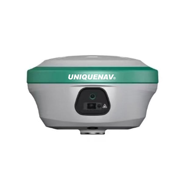
Selecting the right components and understanding which features truly matter can make or break a gnss rtk deployment. Whether you are working in land surveying, precision agriculture, construction layout, or geospatial data collection, a gnss rtk system must deliver centimeter-level accuracy consistently across challenging real-world conditions. The decision is not simply about picking a receiver with the most specification bullet points. It is about knowing which capabilities translate directly into field reliability and workflow efficiency.

A well-configured gnss rtk system depends on the interaction between hardware quality, communication architecture, and software intelligence. Each layer of the system contributes to how quickly the receiver achieves a fixed solution, how stably it maintains that solution under obstruction, and how accurately it reports position over time. This article examines the most critical features that define a dependable gnss rtk setup and explains why each one matters for demanding professional use cases.
Signal Tracking Capability in GNSS RTK
Multi-Constellation and Multi-Frequency Support
The foundation of any capable gnss rtk receiver is its ability to track signals across multiple satellite constellations simultaneously. A gnss rtk unit that supports GPS, GLONASS, BeiDou, and Galileo has access to a significantly larger pool of satellites at any given moment. More tracked satellites mean stronger geometry, faster initialization, and greater redundancy when individual signals are interrupted. For professionals working in urban canyons, forested terrain, or near tall structures, this multi-constellation advantage is not a luxury. It is essential for maintaining a reliable gnss rtk fix.
Beyond constellation diversity, the number of frequencies tracked per constellation plays a critical role in gnss rtk performance. Dual-frequency and triple-frequency gnss rtk receivers can resolve carrier phase ambiguities much faster than single-frequency counterparts. Multi-frequency tracking also enables more effective ionospheric error mitigation, which becomes especially important during periods of solar activity or in equatorial regions. A gnss rtk system operating on multiple frequencies will initialize faster, hold its fixed solution longer, and recover more quickly after signal loss.
Tracking Channel Count and Sensitivity
The number of active tracking channels determines how many satellite signals a gnss rtk receiver can process simultaneously. A higher channel count ensures that the receiver can maintain full constellation tracking even as satellite geometry shifts throughout the day. Receiver sensitivity, measured in signal acquisition and tracking thresholds, determines how well a gnss rtk unit performs under foliage cover or in partially obstructed environments. A sensitive gnss rtk receiver can acquire and maintain lock on weak signals that lower-quality units would simply miss, reducing data gaps and failed fixes during field operations.
Communication Architecture for GNSS RTK
Base-to-Rover Correction Link Reliability
A gnss rtk system relies on a continuous stream of correction data flowing from a base station to the rover receiver. The communication link that carries these corrections is therefore one of the most operationally critical elements of the entire gnss rtk setup. Whether the corrections are delivered via UHF radio, cellular network, or an NTRIP connection through the internet, the link must be stable, low-latency, and robust enough to handle the working environment. A gnss rtk receiver with integrated multi-mode communication options gives operators flexibility to choose the best link type for each job site condition.
Radio range, cellular coverage, and network latency all affect how consistently a gnss rtk rover maintains its fixed position solution. Long-range UHF radios extend the effective working distance between base and rover, which is important for large-area surveys. Cellular or network-based correction delivery through NTRIP services expands the operational range of a gnss rtk system beyond the physical limits of radio propagation. The ability to switch seamlessly between correction sources in the field greatly reduces downtime and keeps gnss rtk workflows moving without interruption.
Tilt Compensation and IMU Integration
Modern gnss rtk receivers increasingly integrate inertial measurement units to enable tilt compensation during pole-based measurements. Traditional gnss rtk operation requires the pole to be precisely leveled before each measurement, adding time and introducing operator-dependent error. With IMU-based tilt compensation, a gnss rtk receiver can deliver accurate coordinates even when the pole is tilted at an angle, as long as the system is properly calibrated. This feature dramatically improves productivity in rough terrain, dense vegetation, and confined spaces where leveling is impractical.
Positioning Accuracy and Initialization Speed
Ambiguity Resolution Engine and RTK Engine Quality
The core mathematical process in any gnss rtk system is carrier phase ambiguity resolution. The quality of the gnss rtk engine determines how rapidly and reliably the receiver can resolve integer ambiguities to achieve a centimeter-accurate fixed solution. A high-performance gnss rtk engine uses sophisticated algorithms that leverage multi-frequency, multi-constellation data to narrow down ambiguity candidates quickly. Faster initialization means less time waiting in the field and more time collecting accurate data. Operators working on time-sensitive projects depend on a gnss rtk engine that can reliably deliver a fixed solution within seconds of startup.
The robustness of the gnss rtk engine also determines how well the receiver holds its fixed solution under challenging conditions. A weak engine may lose fix frequently in environments with partial obstructions, requiring repeated re-initialization and reducing overall efficiency. A well-designed gnss rtk engine includes integrity monitoring that continuously validates the fixed solution and alerts the operator if positioning quality falls below acceptable thresholds. This kind of self-checking capability makes a gnss rtk system far more trustworthy for high-stakes applications such as construction staking or infrastructure inspection.
Data Logging, Output Formats, and Software Integration
A professional gnss rtk setup must not only capture accurate positions but also output data in formats compatible with downstream workflows. Support for standard formats such as RINEX, NMEA, and proprietary binary outputs ensures that gnss rtk data can flow into GIS platforms, CAD software, and survey data management systems without manual conversion. Onboard data logging capacity is equally important, allowing a gnss rtk receiver to store raw observations for post-processing in situations where real-time correction is unavailable or unreliable. The combination of real-time and post-processing capability extends the operational range of a gnss rtk system across diverse project types and environments.
FAQ
What is the typical accuracy of a gnss rtk system in good conditions?
Under open-sky conditions with a stable correction link, a gnss rtk system can achieve horizontal accuracy of approximately one to two centimeters and vertical accuracy of two to three centimeters. These figures can vary based on baseline length, multipath environment, and satellite geometry at the time of measurement.
How far can a gnss rtk rover operate from its base station?
The effective range of a gnss rtk setup depends on the correction delivery method. UHF radio links typically support ranges of five to fifteen kilometers under line-of-sight conditions. Network-based gnss rtk corrections via NTRIP can extend the effective range much further, as long as cellular or internet connectivity is available at the rover location.
Can a gnss rtk receiver work in areas with poor satellite visibility?
A gnss rtk receiver with multi-constellation tracking and high receiver sensitivity can maintain a fixed solution in many partially obstructed environments. However, severely blocked sky views such as deep urban canyons or indoor locations will still challenge any gnss rtk system. IMU-assisted tilt compensation and robust re-initialization algorithms help minimize data gaps in difficult conditions, but some environments may require supplementary positioning technologies.