
 EN
EN
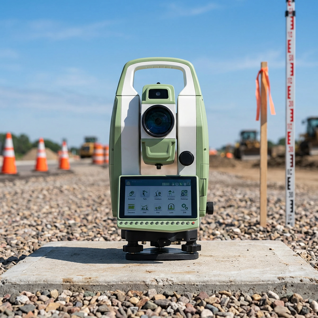
A total station has become one of the most essential instruments in modern field surveying. Whether you are working on a construction site, a road alignment project, or a large-scale topographic survey, the total station delivers the kind of measurement precision and operational speed that manual methods simply cannot match. Understanding how this instrument directly improves field work efficiency helps teams make smarter decisions about their equipment and workflows.
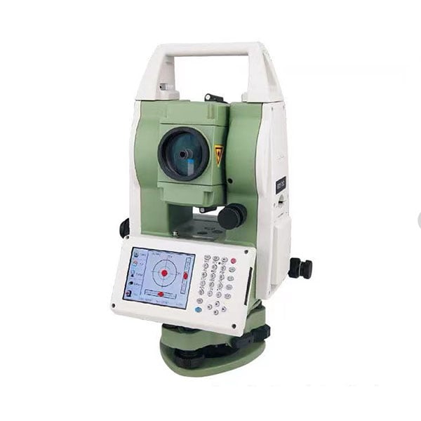
The total station combines electronic distance measurement, angle measurement, and onboard data processing into a single compact unit. This integration eliminates the need to carry multiple separate instruments to a field site. As a result, setup time is reduced, field teams operate with fewer personnel, and data collection becomes a streamlined, accurate process from the very first observation.
Core Capabilities That Drive Efficiency
Simultaneous Angle and Distance Measurement
The defining feature of a total station is its ability to measure both horizontal angles and slope distances in a single observation. Traditional surveying required separate instruments for each measurement type, which meant more time setting up equipment and higher chances of compounding errors. With a total station, both values are captured simultaneously and stored digitally, dramatically cutting down measurement time per point. On large sites where hundreds of points must be recorded, this time savings accumulates into significant productivity gains over a full working day.
The total station also computes coordinates automatically using the measured angles and distances together with known station data. Field crews no longer need to perform manual trigonometric calculations between observations. This real-time computation keeps the workflow moving continuously, which is critical when daylight hours or weather windows are limited on active construction projects.
Onboard Data Storage and Transfer
Modern total station instruments are equipped with internal memory that stores thousands of measured points directly in the field. This eliminates handwritten field books and the transcription errors that come with manual data recording. Once fieldwork is complete, the data stored in the total station can be transferred to office software via USB, Bluetooth, or direct cable connection. The seamless digital transfer reduces post-processing time and ensures that the survey data arriving in the office is exactly what was collected in the field.
How a Total Station Reduces Fieldwork Bottlenecks
Faster Resection and Setup
One of the most time-consuming parts of traditional surveying was establishing a known instrument position on site. A total station supports resection workflows, allowing the operator to set up at an unknown point and determine its coordinates by measuring to multiple control points. This flexibility means the total station can be placed at the most operationally convenient location rather than only at pre-surveyed control points. The result is fewer instrument moves across a site, which directly reduces non-productive setup time during the working day.
The total station also supports free-station setups, which give field crews even greater flexibility when obstructions or terrain conditions make traditional setups impractical. By adapting to site conditions rather than being constrained by them, the total station keeps productivity high even in challenging environments.
Stake-Out and Setting-Out Applications
In construction surveying, stake-out is one of the most repetitive and time-intensive tasks a field crew performs. The total station simplifies this process by guiding the operator directly to design coordinates stored in the instrument. The display shows the difference between the current prism position and the target location, allowing the field crew to reach the exact point quickly without repeated measurement and correction cycles. A total station used for stake-out can reduce the time needed to place each point by a significant margin compared to tape-and-offset methods.
This stake-out capability is especially valuable in structural and infrastructure projects where setting-out accuracy directly affects the quality of the finished work. When the total station consistently delivers millimeter-level precision during setting-out, costly rework caused by incorrect positioning is effectively eliminated.
Robotic and Reflectorless Advantages
Single-Operator Efficiency with Robotic Models
Robotic total station models allow a single operator to control the instrument remotely from the prism pole position. The operator moves to each measurement point and triggers observations without needing a second person to staff the instrument. This one-person operation model reduces labor costs significantly on projects where crew size directly affects budget. A robotic total station can follow the prism automatically as the operator moves, maintaining the measurement connection continuously across a site.
The productivity impact of single-operator surveying with a total station is substantial. Work that previously required two trained surveyors can be accomplished by one, freeing the second team member for other project tasks. Over a multi-week field campaign, this labor efficiency can represent meaningful savings while maintaining the same data quality standards.
Reflectorless Measurement for Inaccessible Points
Many total station models include reflectorless distance measurement, which allows the instrument to measure to surfaces where a prism cannot be placed. Building facades, bridge soffit elevations, cliff faces, and hazardous infrastructure can all be measured safely from a distance using the reflectorless total station function. This eliminates the time and risk associated with rigging, ladders, or scaffolding just to place a prism target. The total station operator can capture these points from a safe ground position and continue the survey without interruption.
FAQ
What types of projects benefit most from using a total station?
A total station is widely used in construction layout, topographic surveying, infrastructure alignment, cadastral boundary surveys, and monitoring applications. Any project requiring precise coordinate measurement in the field benefits from using a total station, particularly when speed and data accuracy are both priorities.
How does a total station compare to GPS for field surveying efficiency?
A total station is preferred in environments where GNSS signals are obstructed, such as urban canyons, dense forests, or indoor settings. While GPS excels in open-sky conditions, the total station provides reliable high-accuracy results regardless of satellite availability. Many professional survey workflows combine both instruments to maximize efficiency across different site conditions.
How often should a total station be calibrated to maintain efficiency?
A total station should be checked and calibrated regularly, typically before each major project or after any significant impact or transport event. Most total station instruments include built-in calibration routines for compensator, collimation, and axis errors. Keeping the total station properly calibrated ensures that its measurements remain reliable and that field crews do not lose time correcting errors caused by instrument drift.