
 EN
EN
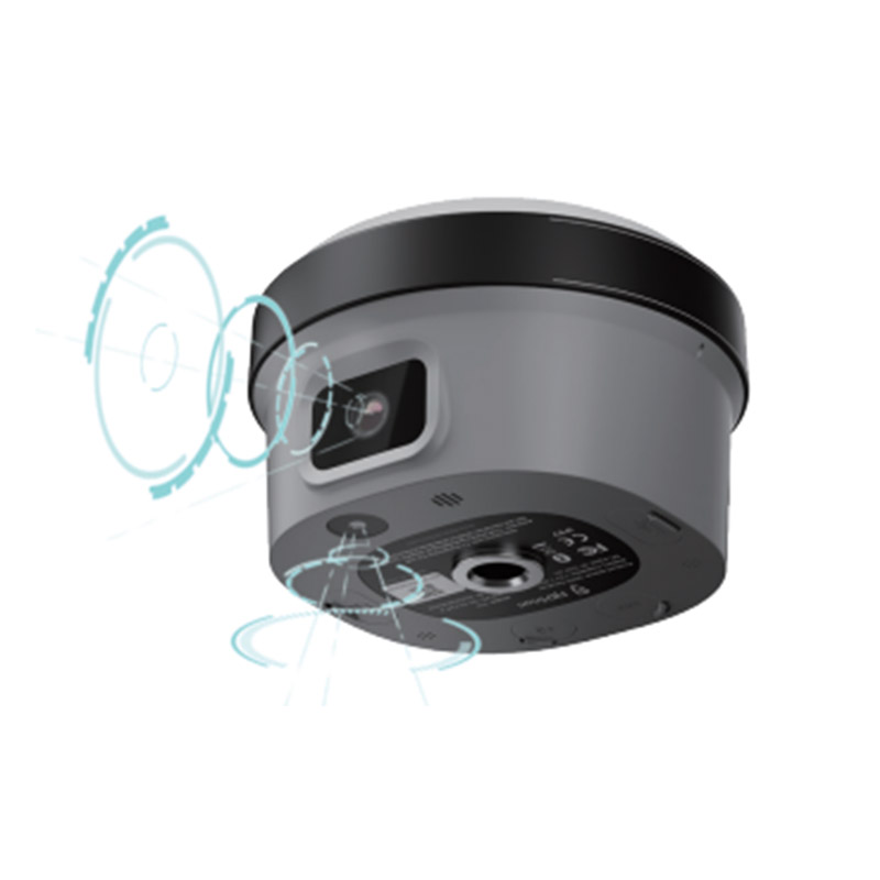
Achieving reliable centimeter-level accuracy in the field depends on more than simply powering on your receiver. gnss rtk technology has transformed surveying, construction, agriculture, and mapping workflows, but its positioning quality is sensitive to a wide range of environmental, hardware, and operational factors. Understanding what drives or degrades your gnss rtk results is the first step toward consistently dependable measurements on every project.
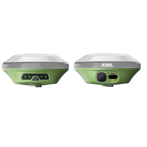
Every gnss rtk system relies on a precise chain of signal reception, data correction, and computation. When any link in that chain weakens, your gnss rtk positioning quality suffers. This article examines the most significant factors that influence gnss rtk accuracy, explains why each one matters, and offers practical guidance so you can make smarter decisions in the field and during equipment setup.
Signal Environment and Satellite Geometry
How the Sky View Around You Shapes gnss rtk Performance
The most fundamental factor affecting gnss rtk quality is the signal environment at your measurement location. gnss rtk receivers depend on clear line-of-sight signals from multiple satellites. When buildings, trees, terrain, or other obstructions block parts of the sky, fewer satellites are available and signal quality drops. A poor sky view forces your gnss rtk system to work with a weaker satellite constellation, which directly reduces positioning precision.
Satellite geometry, measured by Dilution of Precision or DOP, plays a major role in gnss rtk accuracy. When satellites are spread widely across the sky, DOP values are low and gnss rtk solutions are more geometrically robust. When satellites cluster together in one part of the sky, DOP rises and gnss rtk errors increase. Experienced surveyors plan gnss rtk sessions around favorable satellite windows to benefit from optimal geometry throughout the workday.
Multipath Interference and Signal Reflection
Multipath is one of the most stubborn challenges for gnss rtk users. It occurs when gnss rtk signals reflect off hard surfaces such as metal structures, walls, water bodies, or vehicles before reaching the antenna. These reflected signals arrive slightly delayed and corrupt the phase measurements that gnss rtk relies on for centimeter accuracy. Even a small amount of multipath can prevent a gnss rtk receiver from achieving a stable fixed solution or can introduce subtle systematic errors into fixed positions.
Choosing antenna placement carefully and selecting gnss rtk equipment with strong multipath mitigation algorithms significantly reduces this risk. Advanced gnss rtk antennas use choke ring designs or ground plane features specifically to reject low-elevation reflected signals, improving solution reliability in challenging environments.
Correction Data Quality and Baseline Distance
The Role of Base Station and Network Corrections in gnss rtk
gnss rtk works by comparing raw satellite observations at a rover with corrections provided by a base station or a network of reference stations. The quality of those corrections is critical. If the base station is poorly positioned, experiences its own signal interference, or transmits corrections with latency, the gnss rtk rover inherits those errors directly. For high-precision gnss rtk work, a well-placed, stable, and accurately known base station is essential.
Network RTK services, which use NTRIP or similar correction streams from a network of continuously operating reference stations, can provide excellent gnss rtk correction quality when the network is dense and well-maintained. However, network outages, high latency, or poor internet connectivity in remote areas can interrupt gnss rtk correction streams and force the receiver into a float solution, which is significantly less accurate than a fixed gnss rtk solution.
Baseline Length and Atmospheric Effects on gnss rtk
The distance between the gnss rtk rover and the base station, commonly called the baseline, has a direct impact on positioning quality. As the baseline grows, atmospheric conditions at the rover and base diverge. Tropospheric and ionospheric delays affect gnss rtk signals differently at different locations. When the baseline is short, these atmospheric effects are nearly identical at both ends and cancel out effectively in the gnss rtk correction process. Longer baselines allow residual atmospheric errors to grow, degrading gnss rtk fixed solution reliability.
Under active ionospheric conditions, such as during geomagnetic storms or periods of high solar activity, even moderate gnss rtk baselines can suffer degraded accuracy. Dual-frequency or multi-frequency gnss rtk receivers handle ionospheric effects far better than single-frequency systems because they can model and remove frequency-dependent delays, maintaining robust gnss rtk performance even at longer baselines.
Hardware Quality and System Configuration
Receiver and Antenna Specifications That Impact gnss rtk
The quality of your gnss rtk receiver and antenna directly determines what accuracy is achievable. A gnss rtk receiver that tracks more constellations, including GPS, GLONASS, Galileo, and BeiDou, has access to more satellites at any given time. More satellites mean better geometry, faster initialization, and more resilient gnss rtk fixed solutions. A receiver limited to a single constellation will struggle in constrained environments where that constellation happens to have poor coverage.
Antenna phase center stability is equally important for precise gnss rtk work. The phase center is the electrical point from which a gnss rtk antenna measures incoming signals. An antenna with an unstable or poorly characterized phase center introduces systematic offsets that appear as positioning errors. Professional-grade gnss rtk antennas are calibrated so their phase center variations are well-characterized and can be corrected in post-processing or in real time.
Initialization Time and Operational Settings
gnss rtk accuracy also depends on how well the ambiguity resolution process has been completed. Integer ambiguity resolution is the core computation that allows gnss rtk to deliver centimeter accuracy. If a gnss rtk receiver has not fully resolved its carrier-phase ambiguities, it operates in float mode with decimeter-level errors rather than centimeter-level fixed accuracy. Allowing sufficient initialization time and operating in environments with clean signal conditions gives gnss rtk ambiguity resolution the best chance of success.
Operator practices matter too. Tilting the pole, moving too quickly during initialization, or operating near strong radio frequency interference sources can all disrupt gnss rtk performance. Keeping the pole vertical, confirming a fixed status before recording points, and avoiding known interference sources are straightforward habits that consistently improve gnss rtk data quality in daily field operations.
FAQ
Why does my gnss rtk solution sometimes drop from fixed to float?
A gnss rtk solution drops from fixed to float when the receiver loses the ability to maintain resolved carrier-phase ambiguities. This typically happens when signal obstructions interrupt tracking, when the correction data stream is interrupted, or when the baseline to the base station becomes too long for reliable atmospheric modeling. Moving to a clearer sky view and confirming a stable correction link usually allows the gnss rtk receiver to re-initialize and return to a fixed solution.
How far can a gnss rtk base station be from the rover?
For most gnss rtk applications, keeping the baseline under 10 to 15 kilometers gives reliable fixed solutions under normal atmospheric conditions. Multi-frequency gnss rtk systems can sometimes extend this range further, especially when ionospheric activity is low. Beyond these distances, atmospheric divergence between the base and rover causes residual errors that degrade gnss rtk accuracy, making network RTK corrections from a dense reference station network a better choice for wide-area coverage.
Does using more satellite constellations improve gnss rtk accuracy?
Yes, using a multi-constellation gnss rtk receiver significantly improves positioning quality in most scenarios. More available satellites improve DOP values, speed up ambiguity resolution, and help maintain a fixed gnss rtk solution in environments with partial sky obstructions. Multi-constellation gnss rtk receivers are particularly valuable in urban canyons, forested areas, or any location where single-constellation satellite counts would be insufficient for reliable fixed positioning.