Versatile Applications Across Multiple Industries
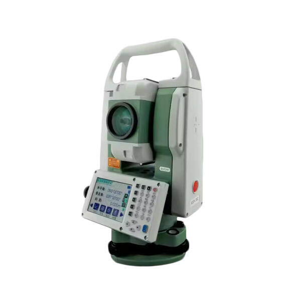
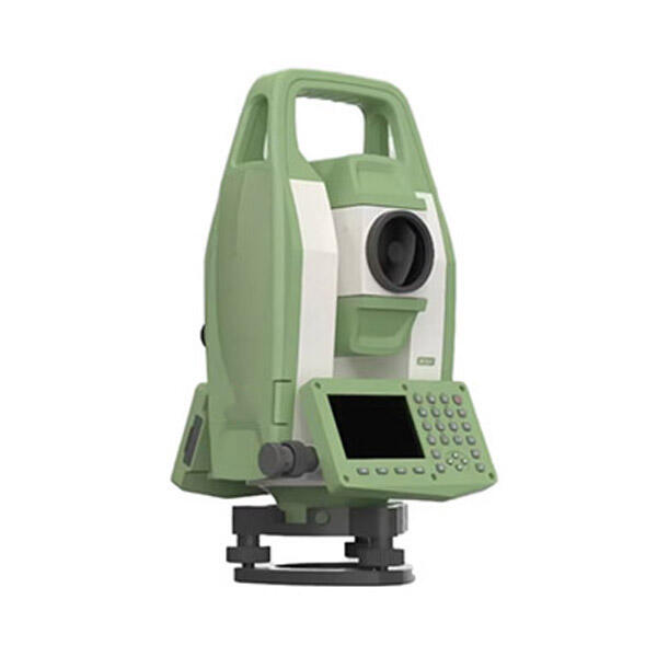
Total station topographic survey methodology demonstrates remarkable versatility through its adaptability to diverse industry applications ranging from large-scale infrastructure development to precise archaeological documentation projects. Construction industry professionals utilize total station technology for site preparation, grade verification, foundation layout, and progress monitoring throughout building construction phases, ensuring adherence to design specifications and regulatory requirements. Mining operations depend on total station topographic survey capabilities for ore body mapping, pit design optimization, spoil pile management, and reclamation planning that requires accurate volumetric calculations and terrain modeling. Environmental consulting firms employ this technology for wetland delineation, erosion monitoring, habitat mapping, and contamination site characterization where precise boundary definition and elevation data support regulatory compliance and remediation planning efforts. Archaeological investigations benefit from the non-invasive measurement capabilities that enable detailed site documentation without disturbing sensitive cultural resources, supporting preservation efforts and research initiatives. Transportation agencies utilize total station topographic survey for highway design, bridge construction, airport runway profiling, and railway alignment projects that demand exceptional accuracy and comprehensive terrain information. Utility companies employ this methodology for transmission line surveys, pipeline routing, facility siting, and infrastructure mapping that requires precise coordinate data for design and maintenance operations. Agricultural applications include precision farming initiatives, irrigation system design, drainage planning, and land management projects where accurate elevation data supports optimal crop production and resource conservation efforts. Urban planning departments depend on total station topographic survey for zoning studies, development planning, flood mapping, and infrastructure assessment projects that influence community growth and public safety considerations. The technology supports forensic investigations through accident scene documentation, crime scene mapping, and evidence positioning that requires court-admissible measurement accuracy and comprehensive spatial documentation capabilities essential for legal proceedings and insurance claim processing.