total station level machine
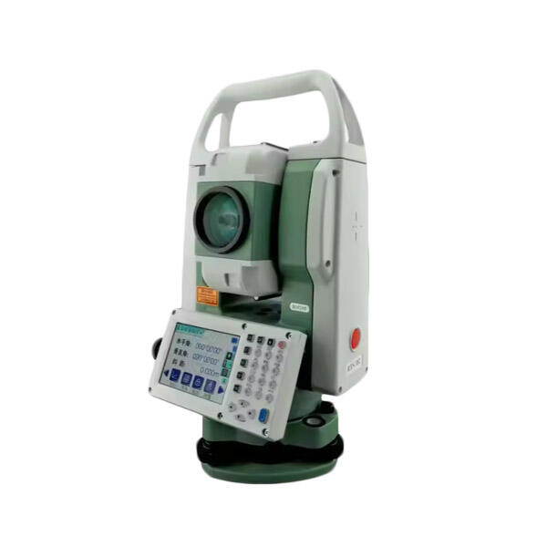
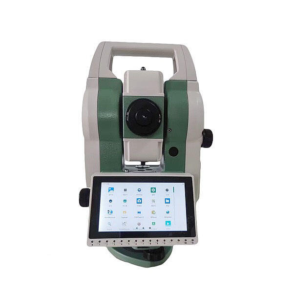
The total station level machine represents a revolutionary advancement in surveying technology, combining the functionality of a theodolite and electronic distance measurement device into one comprehensive instrument. This sophisticated equipment has transformed modern surveying practices by integrating angle measurement, distance calculation, and data recording capabilities into a single, portable unit. The total station level machine operates using advanced laser technology and electronic sensors to deliver precise measurements across various terrains and conditions. Modern total station level machine models feature high-resolution displays, intuitive interfaces, and robust construction designed to withstand harsh field conditions. These instruments typically incorporate reflectorless measurement capabilities, allowing surveyors to obtain accurate readings from surfaces up to several hundred meters away without requiring physical access to target points. The total station level machine utilizes electronic theodolite technology combined with electromagnetic distance measurement to calculate horizontal and vertical angles with exceptional precision. Advanced models integrate GPS functionality, enabling real-time positioning and coordinate determination. The instrument's onboard computer processes measurement data instantly, performing complex calculations and coordinate transformations automatically. Data storage capabilities allow field teams to record thousands of measurement points, which can be exported to computer-aided design software for further analysis and mapping applications. The total station level machine serves multiple industries including construction, engineering, archaeology, mining, and land development. Its versatility makes it indispensable for topographic surveys, construction layout, monitoring structural deformation, and creating detailed site maps. The instrument's ability to measure both horizontal and vertical distances simultaneously significantly reduces field time while improving measurement accuracy compared to traditional surveying methods.