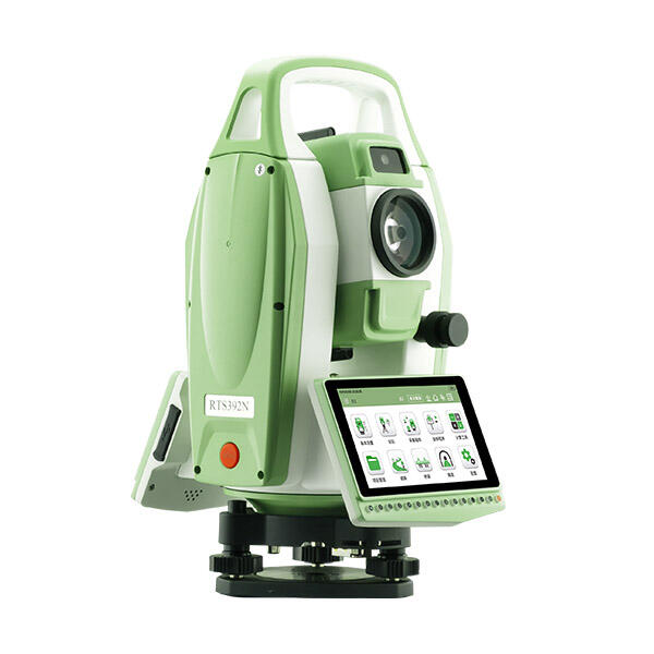
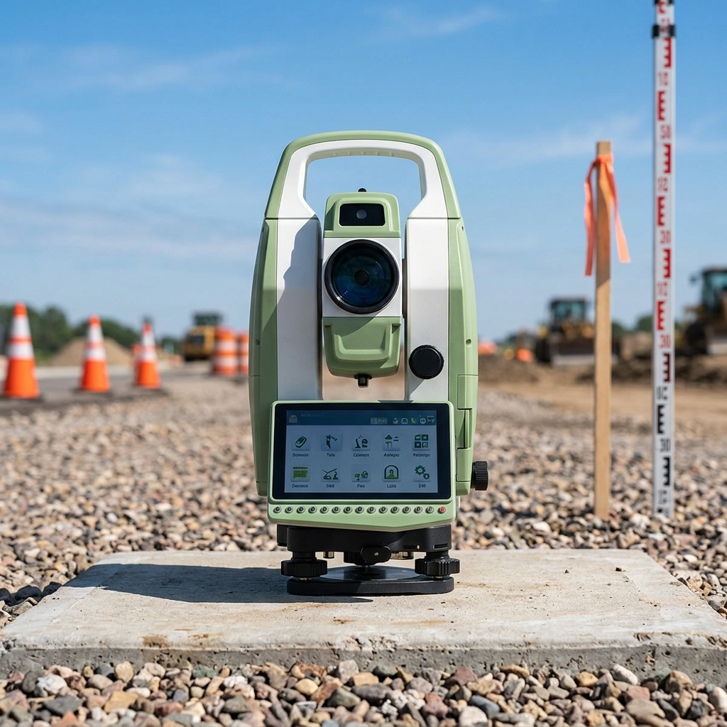
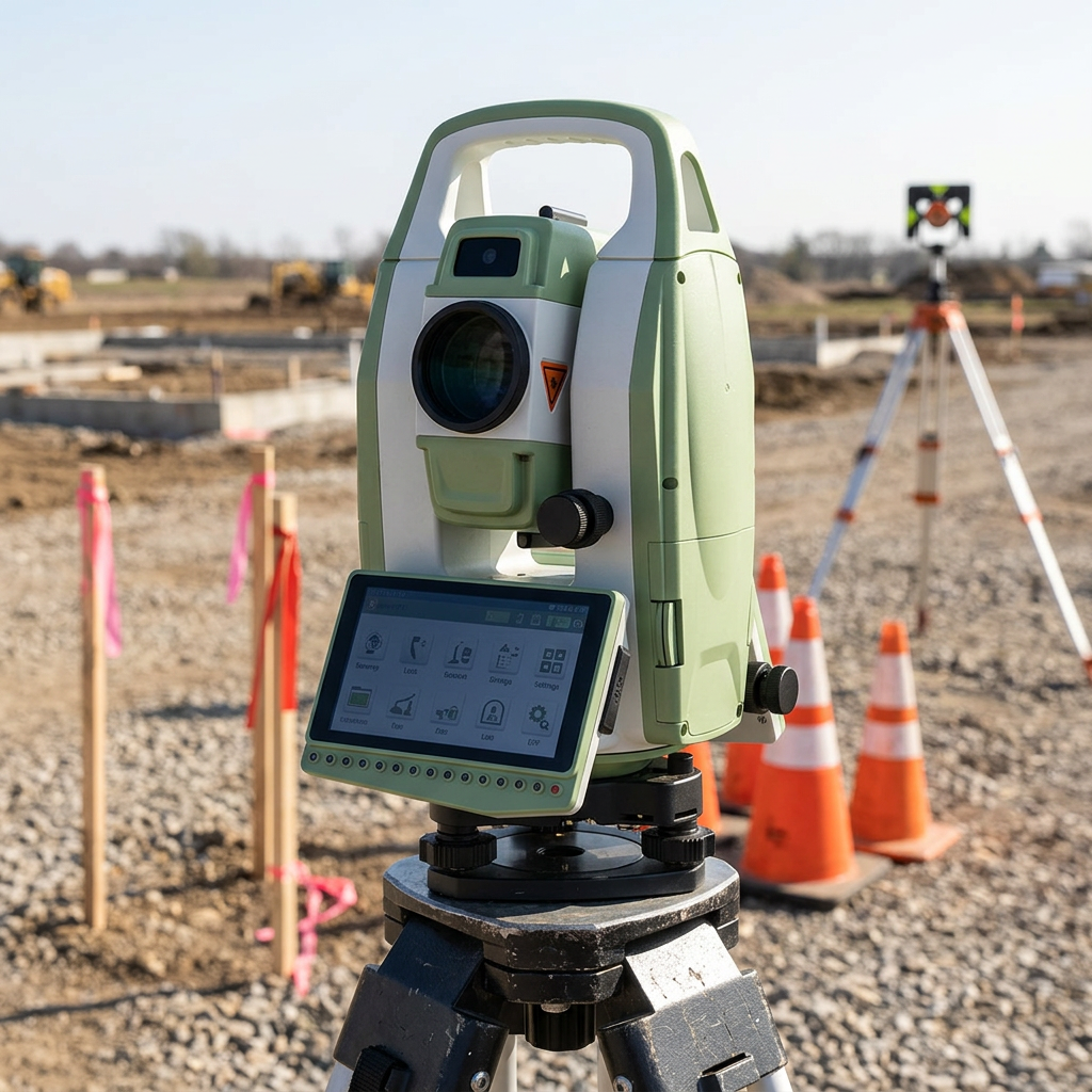
Seamless Data Integration and Wireless Connectivity
The total station robot features comprehensive data integration capabilities and wireless connectivity options that revolutionize how surveying data flows from field collection to final deliverables, creating unprecedented efficiency in project workflows. Modern total station robot systems incorporate multiple communication protocols including Bluetooth, Wi-Fi, and cellular connectivity, enabling real-time data transfer to field computers, mobile devices, and cloud-based platforms. This seamless connectivity eliminates traditional delays between field data collection and office processing, allowing project teams to access current survey information immediately for decision-making purposes. The advanced data management systems built into total station robot technology can store tens of thousands of measurement points with associated metadata, creating comprehensive project databases that support complex surveying applications. Integrated software platforms provide direct compatibility with popular CAD systems, GIS applications, and building information modeling software, streamlining the transition from raw field measurements to finished deliverables. This integration capability reduces manual data entry requirements and eliminates transcription errors that commonly occur when transferring information between different software platforms. The total station robot's data integration extends beyond simple measurement storage to include photograph capture, voice notes, and sketching capabilities that provide comprehensive documentation of field conditions and measurement contexts. Wireless connectivity enables remote monitoring and quality control, allowing supervisors and project managers to review survey progress and data quality in real-time without visiting field locations. Cloud-based data synchronization ensures that multiple team members can access current project information simultaneously, improving coordination and reducing communication delays. Advanced reporting features generate customized deliverables directly from field data, including coordinate lists, construction stakeout reports, and quality assurance documentation that meets professional standards and client requirements. The integration capabilities also support automated workflows that can trigger specific actions based on measurement results, such as alerting teams when construction tolerances are exceeded or automatically updating project schedules based on survey completion milestones. This comprehensive data ecosystem created by total station robot technology transforms surveying from a isolated field activity into an integrated component of overall project management systems, providing value that extends far beyond simple measurement collection.