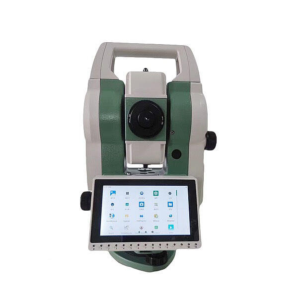
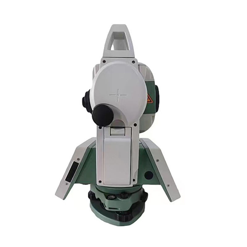
Versatile Multi-Application Performance for Diverse Industries
The exceptional versatility of total station survey technology makes it an indispensable tool across numerous industries and applications, from traditional land surveying to specialized engineering and construction projects. This versatility stems from the comprehensive measurement capabilities that combine precise distance measurement, accurate angle determination, and sophisticated coordinate calculation in a single, portable instrument. Construction professionals utilize total station survey equipment for diverse tasks including site layout, grade checking, building positioning, and as-built documentation, with the flexibility to adapt measurement procedures to specific project requirements and site conditions. The multi-application performance of total station survey systems extends to topographic mapping projects, where these instruments can rapidly collect detailed elevation data and create comprehensive terrain models for engineering design and environmental analysis. Mining operations benefit significantly from total station survey versatility, using these instruments for pit surveying, stockpile volume calculations, tunnel alignment, and safety monitoring applications that require both precision and reliability in challenging underground environments. Infrastructure development projects rely on total station survey technology for highway alignment, bridge construction, utility installation, and railway surveying applications that demand consistent accuracy across large geographic areas. The adaptability of total station survey equipment makes it equally effective for small-scale residential surveys and massive industrial projects, with measurement ranges and precision levels that can be optimized for specific application requirements. Archaeological and historical preservation projects increasingly depend on total station survey technology for site documentation, artifact positioning, and three-dimensional mapping of historical structures and excavation sites. The environmental monitoring capabilities of total station survey systems support applications such as slope stability monitoring, dam safety surveillance, and glacier movement tracking, where long-term precision and reliability are essential for safety and scientific research purposes. Professional surveyors appreciate the flexibility of total station survey instruments that can be quickly reconfigured for different measurement tasks without requiring extensive setup procedures or specialized accessories. This versatility translates into improved productivity and cost-effectiveness for surveying firms that handle diverse project types and can rely on a single instrument platform to meet varied client requirements across multiple industries and applications.