Integrated Data Management System for Enhanced Productivity
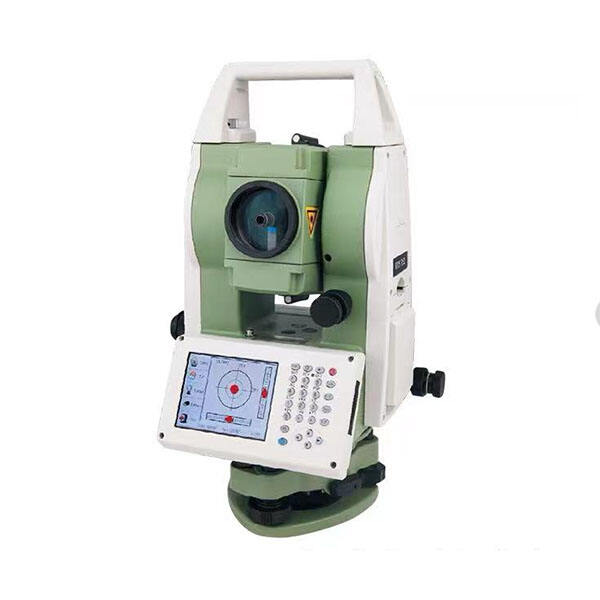
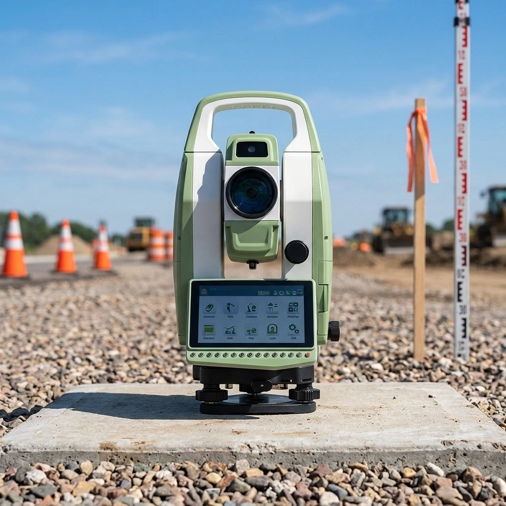
The integrated data management system within total station equipment revolutionizes how surveying professionals collect, process, and manage field data, creating a seamless workflow that dramatically enhances productivity and reduces project completion times. This comprehensive system combines real-time data collection with sophisticated processing capabilities, enabling surveyors to perform complex calculations, coordinate transformations, and quality control checks immediately in the field. The data management system automatically stores all measurements with comprehensive metadata, including timestamps, operator identification, and environmental conditions, creating detailed audit trails that support quality assurance protocols and legal requirements. Advanced total station equipment features intuitive software interfaces that guide operators through survey procedures, reducing the likelihood of errors while ensuring consistent data collection methodologies across different projects and personnel. The system supports multiple coordinate systems and datum transformations, allowing surveyors to work seamlessly across projects with different reference frameworks without manual conversions or additional calculations. Real-time stakeout capabilities enable construction crews to position elements accurately during installation, eliminating the traditional delay between surveying and construction activities. The data management system includes comprehensive project management tools that organize measurements by job, date, and survey type, making data retrieval and analysis efficient and straightforward. Cloud connectivity features in modern total station equipment enable automatic data backup and synchronization, ensuring that valuable survey data is protected against loss while remaining accessible to project teams regardless of their location. The system supports various data export formats, facilitating integration with computer-aided design software, geographic information systems, and construction management platforms. Quality control algorithms continuously monitor data consistency, flagging potential errors or inconsistencies for operator review and correction. The integrated data management system also supports batch processing capabilities, allowing surveyors to apply corrections or transformations to entire datasets efficiently. This comprehensive approach to data management eliminates many traditional bottlenecks in the surveying workflow, enabling faster project delivery and improved client satisfaction while maintaining the highest standards of accuracy and documentation.