Seamless Android Integration and User Experience
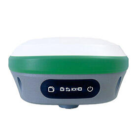
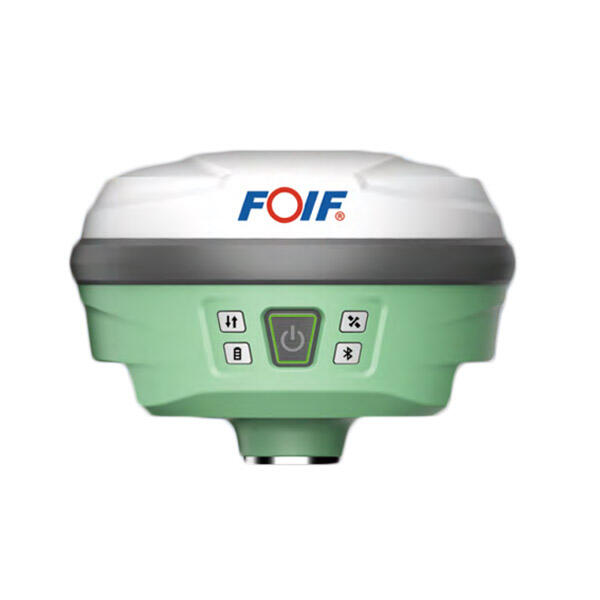
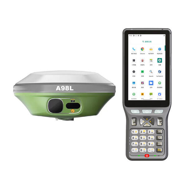
RTK Android technology excels through its intuitive integration with familiar Android operating systems, creating a user experience that bridges professional surveying capabilities with consumer-friendly interfaces that require minimal learning curves for widespread adoption. The seamless integration leverages Android's inherent connectivity features, including cellular data, Wi-Fi, and Bluetooth capabilities, to establish reliable communication channels for receiving real-time correction data from various sources such as VRS networks, NTRIP casters, or local base stations. This connectivity ensures continuous access to correction services regardless of location, supporting both subscription-based correction networks and free government-provided services available in many regions worldwide. The Android platform enables sophisticated data visualization through high-resolution touchscreen displays, presenting positioning information, accuracy indicators, and measurement results through interactive maps, numerical displays, and graphical representations that facilitate quick comprehension and decision-making in field conditions. Professional surveying applications designed specifically for RTK Android systems offer comprehensive functionality including point collection, line and area measurements, stakeout operations, and quality control features, all accessible through familiar touch gestures and menu structures. The integration extends to data management capabilities, utilizing Android's built-in storage and cloud synchronization features to ensure automatic backup, version control, and collaborative access to project data across multiple team members and devices. File compatibility encompasses industry-standard formats including CSV, DXF, KML, and ESRI shapefiles, enabling seamless data exchange with existing CAD software, GIS platforms, and project management systems without requiring format conversions or specialized import procedures. The Android ecosystem provides access to thousands of complementary applications that enhance RTK functionality, including mapping software, photo annotation tools, weather applications, and communication platforms that support comprehensive field operations. Battery optimization features inherent to modern Android devices ensure extended operation periods, while power management algorithms prioritize RTK functionality during critical positioning operations. The platform supports various hardware configurations from rugged tablets to smartphone form factors, allowing organizations to select devices that match specific operational requirements and budget constraints while maintaining consistent software experiences across different hardware platforms.