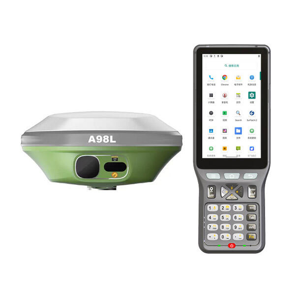
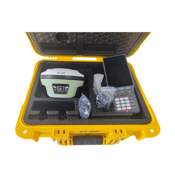
portable gnss receiver
A portable gnss receiver represents cutting-edge navigation technology that harnesses signals from multiple satellite constellations to deliver precise positioning data anywhere on Earth. The Global Navigation Satellite System encompasses various satellite networks including GPS, GLONASS, Galileo, and BeiDou, providing comprehensive coverage and enhanced accuracy. These compact devices integrate advanced signal processing capabilities with user-friendly interfaces, making professional-grade positioning accessible to diverse industries and applications. The portable gnss receiver combines multiple frequency bands and constellation support to achieve centimeter-level accuracy in real-time positioning. Modern units feature ruggedized construction that withstands harsh environmental conditions while maintaining consistent performance. The technological architecture incorporates sophisticated algorithms for signal acquisition, tracking, and processing, enabling rapid satellite lock-in and continuous positioning updates. Key functions include real-time kinematic positioning, post-processing capabilities, and data logging for comprehensive surveying workflows. The portable gnss receiver supports various coordinate systems and datum transformations, accommodating regional and international mapping standards. Advanced models integrate inertial measurement units that maintain positioning accuracy during satellite signal interruptions. Wireless connectivity options enable seamless data transfer and remote monitoring capabilities. The device stores extensive measurement data with timestamp information for quality control and project documentation. Battery management systems provide extended operational time while intelligent power management optimizes performance. Display screens present positioning information, satellite status, and measurement quality indicators in intuitive formats. The portable gnss receiver accommodates various antenna configurations for specific application requirements, from handheld units to backpack systems. Software integration allows direct connection with field computers and mobile devices, streamlining data collection workflows. These receivers serve surveying professionals, construction teams, agricultural specialists, and research organizations requiring accurate positioning solutions in remote locations where traditional measurement methods prove impractical or time-consuming.