Low Cost GNSS Systems: Affordable High-Performance Navigation Solutions for Professional Applications

All Categories

low cost gnss

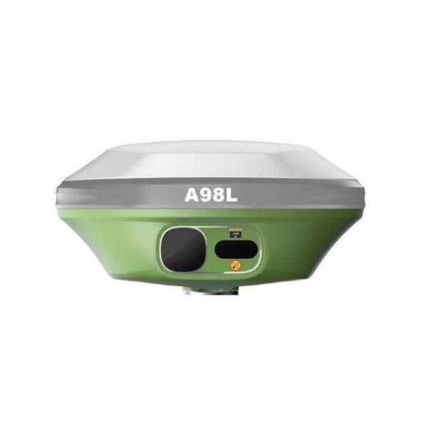
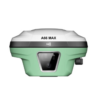
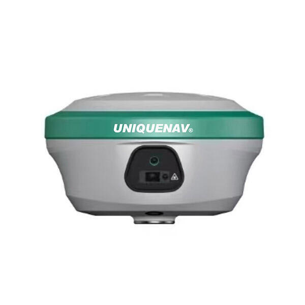
A low cost GNSS (Global Navigation Satellite System) represents a revolutionary advancement in positioning technology that makes precise satellite-based navigation accessible to a broader range of users and applications. This technology leverages signals from multiple satellite constellations, including GPS, GLONASS, Galileo, and BeiDou, to provide accurate location, velocity, and timing information at a fraction of the cost of traditional high-end systems. The main functions of a low cost GNSS include real-time positioning with meter-level accuracy, continuous tracking capabilities, and reliable timing synchronization across various environments. These systems typically feature multi-constellation support, allowing them to receive signals from numerous satellites simultaneously for enhanced reliability and coverage. The technological foundation includes advanced signal processing algorithms, efficient antenna designs, and optimized receiver architectures that reduce manufacturing costs while maintaining performance standards. Key technological features encompass fast signal acquisition, low power consumption, compact form factors, and simplified integration interfaces that facilitate easy deployment across diverse applications. The versatility of low cost GNSS extends to numerous sectors including agriculture, transportation, surveying, maritime navigation, outdoor recreation, and IoT device tracking. In precision agriculture, farmers utilize these systems for field mapping, crop monitoring, and automated machinery guidance. Transportation applications range from fleet management and logistics optimization to personal navigation and autonomous vehicle development. The construction and surveying industries benefit from cost-effective positioning solutions for site mapping, equipment tracking, and project management. Maritime users employ low cost GNSS for vessel navigation, fishing operations, and harbor management. Additionally, these systems play crucial roles in emergency services, wildlife tracking, asset management, and scientific research applications. The democratization of GNSS technology through affordable solutions has opened new possibilities for innovation across industries while making precise positioning accessible to small businesses, researchers, and individual users who previously could not justify the investment in expensive professional-grade systems.

New Product Recommendations

The primary advantage of low cost GNSS lies in its ability to deliver professional-grade positioning accuracy without the prohibitive price tag associated with traditional high-end systems. This affordability breakthrough enables small businesses, startups, and individual users to access sophisticated navigation capabilities that were previously reserved for large corporations with substantial budgets. The cost reduction does not compromise essential performance characteristics, as these systems maintain reliable accuracy within acceptable tolerances for most commercial and consumer applications. Enhanced accessibility represents another significant benefit, as low cost GNSS solutions feature simplified installation processes and user-friendly interfaces that eliminate the need for specialized technical expertise. Users can deploy these systems quickly without extensive training or complex configuration procedures, reducing implementation time and associated labor costs. The broad compatibility of low cost GNSS with existing infrastructure and software platforms ensures seamless integration into current workflows and systems. This compatibility extends to various communication protocols, data formats, and hardware interfaces, minimizing disruption during adoption. Energy efficiency constitutes a crucial advantage, particularly for battery-powered applications and remote installations where power consumption directly impacts operational costs and maintenance requirements. Modern low cost GNSS receivers incorporate advanced power management features that extend battery life while maintaining continuous operation. The compact design philosophy adopted by manufacturers results in lightweight, space-efficient solutions that integrate easily into various devices and platforms without imposing significant size or weight penalties. Scalability benefits emerge when organizations need to deploy multiple units across extensive networks or fleets, as the reduced per-unit cost enables comprehensive coverage that would be financially unfeasible with expensive alternatives. The rapid technological evolution in the low cost GNSS sector ensures continuous improvements in performance, features, and capabilities while maintaining affordable pricing structures. This ongoing innovation cycle provides users with access to cutting-edge technologies without requiring substantial reinvestment. Furthermore, the competitive market landscape drives manufacturers to enhance reliability, accuracy, and functionality while keeping costs low, creating a favorable environment for end users. The simplified maintenance requirements of low cost GNSS systems reduce long-term operational expenses, as these devices typically require minimal servicing and offer robust performance in challenging environmental conditions. This reliability translates into lower total cost of ownership over the system lifecycle, making low cost GNSS an economically attractive solution for sustained operations.

Practical Tips

GNSS RTK: The Ultimate Guide to Real-Time Kinematic Surveying

27

Nov

GNSS RTK: The Ultimate Guide to Real-Time Kinematic Surveying

Real-Time Kinematic (RTK) technology has revolutionized the field of surveying by providing centimeter-level accuracy in positioning measurements. This advanced Global Navigation Satellite System (GNSS) technique enables surveyors, construction profe...
View More
Top Tips for Using High Accuracy Handheld GPS in the Field

27

Nov

Top Tips for Using High Accuracy Handheld GPS in the Field

Professional fieldwork demands precision, reliability, and efficiency in positioning technology. Modern surveying, construction, and geospatial applications require positioning solutions that deliver centimeter-level accuracy while maintaining the po...
View More
How Do RTK GNSS Receivers Maintain Stability in Complex Terrains?

22

Dec

How Do RTK GNSS Receivers Maintain Stability in Complex Terrains?

Navigation accuracy in challenging environments has become a critical requirement across industries ranging from construction and surveying to autonomous vehicles and precision agriculture. RTK GNSS receivers represent the pinnacle of satellite-based...
View More
What Should Buyers Compare When Sourcing RTK GPS Equipment?

13

Jan

What Should Buyers Compare When Sourcing RTK GPS Equipment?

Modern construction, surveying, and agricultural operations increasingly rely on precise positioning technology to achieve millimeter-level accuracy in their work. When sourcing RTK GPS equipment, buyers face numerous technical specifications, featur...
View More

Get a Free Quote

Our representative will contact you soon.
Email
Name
Company Name
Message
0/1000

low cost gnss

Multi-Constellation Signal Processing for Enhanced Reliability

Multi-Constellation Signal Processing for Enhanced Reliability

The multi-constellation signal processing capability of low cost GNSS represents a fundamental technological advancement that significantly enhances positioning reliability and accuracy across diverse operational environments. This feature enables simultaneous reception and processing of signals from multiple satellite systems, including the American GPS constellation, Russian GLONASS network, European Galileo system, and Chinese BeiDou satellites. By accessing signals from various constellations, low cost GNSS receivers dramatically increase the number of available satellites at any given location and time, typically providing access to 20-30 satellites compared to 8-12 satellites when relying on a single constellation. This abundance of satellite signals creates multiple redundancy layers that ensure continuous positioning capability even when some satellites become temporarily unavailable due to atmospheric conditions, physical obstructions, or maintenance operations. The enhanced signal availability proves particularly valuable in challenging environments such as urban canyons, dense forests, mountainous terrain, or indoor locations where traditional single-constellation systems might struggle to maintain reliable connections. Advanced signal processing algorithms integrated into low cost GNSS receivers intelligently select the optimal combination of satellite signals based on signal strength, geometric distribution, and quality metrics to maximize positioning accuracy. This intelligent signal management ensures that users receive the most reliable positioning solution available under current conditions while automatically adapting to changing environmental factors. The multi-constellation approach also significantly reduces the time required for initial position fixes and re-acquisition after signal loss, improving overall system responsiveness and user experience. Additionally, the diversity of satellite signals enhances resistance to intentional or unintentional interference, as jamming or spoofing attacks targeting specific constellations become less effective when multiple systems provide redundant positioning information. The implementation of multi-constellation processing in affordable receivers democratizes access to professional-grade positioning reliability previously available only in expensive military or surveying equipment, enabling broader adoption across commercial and consumer applications while maintaining cost-effectiveness.
Advanced Power Management for Extended Operation

Advanced Power Management for Extended Operation

The sophisticated power management system integrated into modern low cost GNSS receivers addresses one of the most critical challenges in portable and remote positioning applications by maximizing operational duration while minimizing energy consumption. This advanced feature employs intelligent power scheduling algorithms that dynamically adjust receiver operation modes based on application requirements, environmental conditions, and available power resources. The system incorporates multiple power-saving modes, including deep sleep states, periodic wake-up cycles, and selective receiver component activation, allowing users to customize power consumption profiles according to specific operational needs. During periods of low activity or when high-frequency position updates are unnecessary, the receiver can enter ultra-low power modes that consume minimal energy while maintaining the ability to quickly resume full operation when required. The intelligent tracking algorithms optimize satellite signal acquisition and maintenance processes to reduce computational overhead and associated power consumption without compromising positioning accuracy or reliability. Advanced signal processing techniques enable the receiver to maintain satellite locks with reduced active processing time, while predictive algorithms anticipate satellite movements and optimize tracking schedules to minimize power-intensive search and acquisition cycles. The power management system also incorporates adaptive performance scaling that automatically adjusts processing power and update rates based on motion detection, application demands, and battery status, ensuring optimal balance between performance and energy efficiency. For battery-powered applications, these power optimization features can extend operational life from days to weeks or even months, depending on usage patterns and configuration settings. The system supports various power input sources and includes sophisticated battery monitoring capabilities that provide accurate remaining capacity estimates and low-power warnings to prevent unexpected shutdowns. Furthermore, the power management architecture enables seamless integration with external power sources, solar panels, or energy harvesting systems, making low cost GNSS suitable for long-term deployment in remote locations where regular maintenance or battery replacement is impractical. This extended operational capability significantly reduces the total cost of ownership for fleet management, asset tracking, and environmental monitoring applications while enabling new use cases that were previously unfeasible due to power constraints.
Simplified Integration and Deployment Architecture

Simplified Integration and Deployment Architecture

The streamlined integration and deployment architecture of low cost GNSS systems eliminates traditional barriers to adoption by providing comprehensive plug-and-play solutions that accommodate diverse technical environments and user skill levels. This design philosophy encompasses standardized communication interfaces, including UART, SPI, I2C, and USB connections, ensuring compatibility with virtually any host device or system architecture without requiring specialized adapters or custom interface development. The unified software architecture supports multiple data output formats, including industry-standard NMEA protocols, binary formats, and custom data structures, enabling seamless integration with existing applications, mapping software, and data management systems. Pre-configured default settings allow immediate operation upon installation while comprehensive configuration options enable customization for specific applications or performance requirements. The modular design approach facilitates easy integration into existing hardware platforms, with compact form factors and flexible mounting options that accommodate space-constrained installations without compromising functionality. Comprehensive software development kits and application programming interfaces provide developers with powerful tools for creating custom applications while abstracting complex low-level operations and signal processing details. These development resources include extensive documentation, code examples, and technical support that accelerate implementation timelines and reduce development costs. The plug-and-play architecture extends to mechanical integration through standardized mounting interfaces, connector types, and form factors that ensure physical compatibility with common hardware platforms and enclosures. For system integrators and OEM manufacturers, the simplified integration process reduces time-to-market for new products while minimizing engineering resources required for GNSS implementation. The architecture also supports over-the-air updates and remote configuration capabilities, enabling ongoing optimization and feature enhancements without physical access to deployed systems. Cloud-based management platforms often accompany these systems, providing centralized monitoring, configuration management, and data analysis capabilities that further simplify large-scale deployments. The standardized approach to integration reduces training requirements for technical personnel while minimizing the risk of implementation errors or compatibility issues. Additionally, the comprehensive testing and validation processes employed by manufacturers ensure reliable operation across diverse environmental conditions and application scenarios, providing confidence in deployment success. This simplified architecture democratizes access to professional GNSS capabilities by removing technical barriers that previously required specialized expertise, enabling broader adoption across industries and applications while maintaining the flexibility and performance required for demanding professional use cases.

Get a Free Quote

Our representative will contact you soon.
Email
Name
Company Name
Message
0/1000