multi-frequency gnss receiver
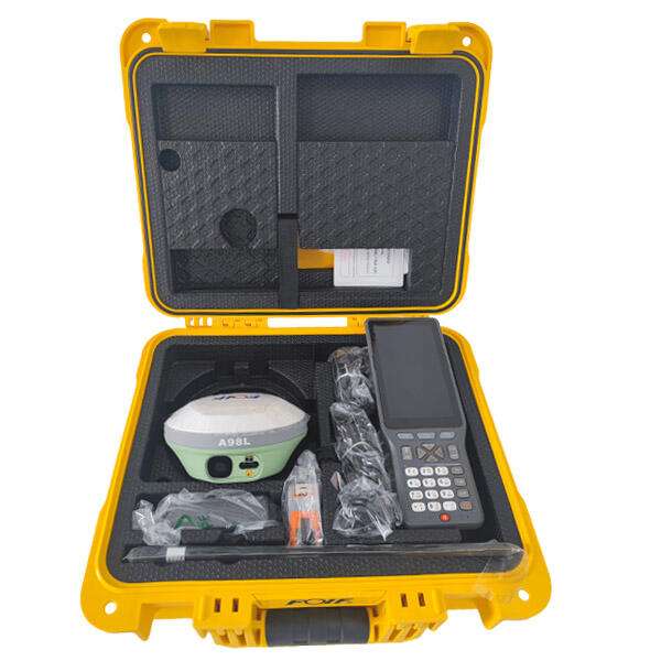
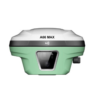
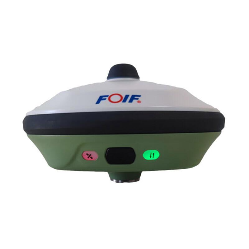
A multi-frequency gnss receiver represents a sophisticated positioning technology that operates across multiple satellite navigation frequency bands simultaneously. This advanced device captures signals from various Global Navigation Satellite Systems including GPS, GLONASS, Galileo, and BeiDou constellations. The multi-frequency gnss receiver utilizes L1, L2, L5, and other frequency bands to deliver enhanced positioning accuracy and reliability compared to traditional single-frequency receivers. The core functionality revolves around processing multiple signal frequencies from each visible satellite, enabling the receiver to eliminate ionospheric delays and atmospheric interference that typically compromise positioning precision. The multi-frequency gnss receiver incorporates advanced signal processing algorithms that analyze carrier phase measurements and pseudorange data across different frequency bands. This technological approach allows the device to achieve centimeter-level accuracy in real-time kinematic applications. The receiver features robust antenna designs optimized for multi-constellation reception, ensuring consistent signal acquisition even in challenging environments. Modern multi-frequency gnss receiver units integrate sophisticated tracking loops and correlation engines that maintain lock on weak signals while rejecting multipath interference. The device architecture includes high-performance processors capable of handling complex mathematical computations required for precise positioning calculations. Applications span across surveying, construction, agriculture, autonomous vehicles, drone navigation, maritime operations, and scientific research. The multi-frequency gnss receiver serves critical roles in precision farming where accurate field mapping and equipment guidance improve crop yields and reduce operational costs. Construction professionals rely on these receivers for site surveying, machine control, and infrastructure development projects requiring millimeter-level precision. The technology enables autonomous vehicle navigation systems to maintain precise positioning for safe operation in urban and rural environments.