gps instrument for land survey
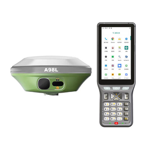
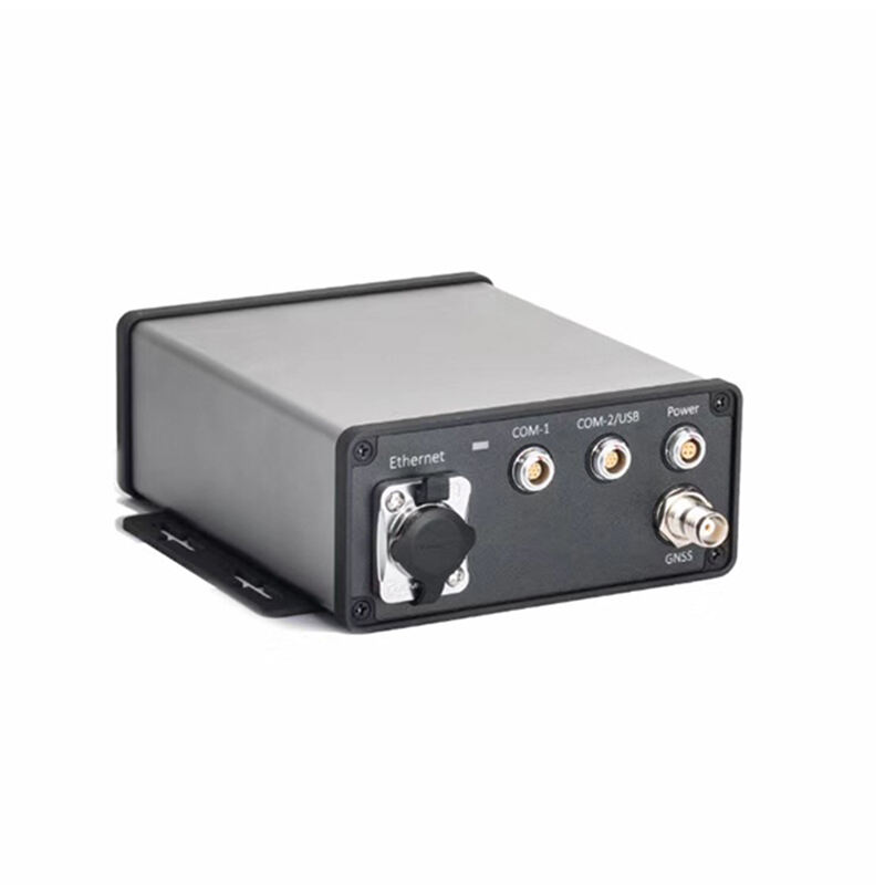
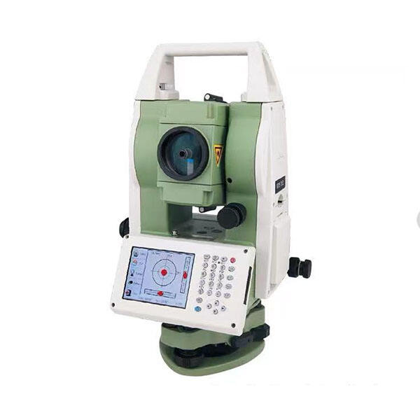
The GPS instrument for land survey represents a revolutionary advancement in surveying technology, fundamentally transforming how professionals conduct precision measurements and mapping activities. This sophisticated device harnesses the Global Positioning System satellite network to deliver accurate positioning data that forms the backbone of modern surveying operations. The GPS instrument for land survey integrates cutting-edge receiver technology with advanced signal processing capabilities, enabling surveyors to achieve centimeter-level accuracy in their field measurements. These instruments typically feature dual-frequency receivers that can track multiple satellite constellations simultaneously, including GPS, GLONASS, Galileo, and BeiDou systems. The technological architecture incorporates Real-Time Kinematic (RTK) correction capabilities, allowing surveyors to obtain instant, highly precise coordinates without lengthy post-processing requirements. Modern GPS instruments for land survey include intuitive touchscreen interfaces, robust data storage systems, and seamless connectivity options for cloud-based data management. The applications span diverse sectors including construction site layout, boundary determination, topographic mapping, infrastructure development, and agricultural planning. These devices excel in establishing control networks, monitoring structural movements, and creating detailed elevation models. The GPS instrument for land survey typically offers multiple measurement modes, from static observations for maximum precision to rapid kinematic surveys for efficient area coverage. Environmental adaptability ensures reliable performance across various weather conditions and terrain types. The integration of advanced antenna technology minimizes signal interference while maximizing satellite visibility. Professional-grade GPS instruments for land survey incorporate specialized software that handles coordinate transformations, quality control checks, and seamless integration with Computer-Aided Design systems. The technological evolution continues advancing accuracy standards while simplifying operational procedures, making these instruments indispensable tools for contemporary surveying professionals who demand reliability, precision, and operational efficiency in their daily fieldwork activities.