rtk positioning
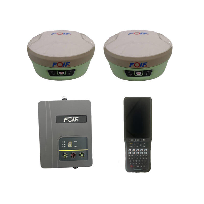
Real-Time Kinematic (RTK) positioning represents a revolutionary advancement in satellite navigation technology that delivers centimeter-level accuracy for positioning applications. This sophisticated system enhances standard GPS capabilities by utilizing correction data transmitted in real-time from a reference station to mobile receivers. The RTK positioning system operates by establishing a base station at a known location, which continuously monitors satellite signals and calculates positioning errors. These corrections are then transmitted via radio link to rover units in the field, enabling them to achieve unprecedented accuracy levels typically within 1-3 centimeters horizontally and 2-5 centimeters vertically. The technology fundamentally transforms how professionals approach surveying, mapping, and precision navigation tasks across multiple industries. RTK positioning systems consist of several key components: a reference station with known coordinates, communication links for data transmission, and mobile receivers equipped with RTK processing capabilities. The reference station continuously tracks satellites and computes correction parameters based on observed versus expected signal characteristics. These corrections account for atmospheric delays, satellite clock errors, and orbital uncertainties that typically limit standard GPS accuracy to several meters. The communication infrastructure plays a crucial role, utilizing radio modems, cellular networks, or internet connections to deliver correction data with minimal latency. Modern RTK positioning systems support various satellite constellations including GPS, GLONASS, Galileo, and BeiDou, significantly improving reliability and availability. The integration of multiple constellation signals enhances solution robustness and reduces convergence times. Advanced RTK systems incorporate sophisticated algorithms for ambiguity resolution, enabling rapid initialization and maintaining accuracy even in challenging environments. Applications for RTK positioning span numerous sectors including precision agriculture, construction surveying, mining operations, autonomous vehicle navigation, and geodetic research. The technology enables farmers to implement precision planting, fertilizer application, and harvesting with minimal overlap and maximum efficiency. Construction professionals utilize RTK positioning for site preparation, machine guidance, and quality control verification. The system's ability to maintain accuracy across large areas makes it invaluable for infrastructure projects and cadastral surveying applications.