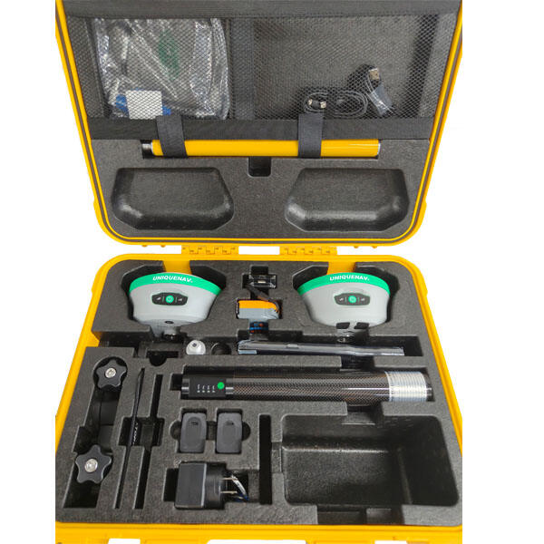
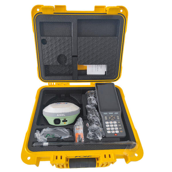
rtk laser
The RTK laser represents a revolutionary advancement in precision measurement and surveying technology, combining Real-Time Kinematic positioning with sophisticated laser systems to deliver unparalleled accuracy in field operations. This cutting-edge instrument integrates GPS satellite technology with laser measurement capabilities, creating a comprehensive solution for professionals who demand centimeter-level precision in their work. The RTK laser system operates by receiving corrections from a base station or network of reference stations, enabling real-time positioning with accuracy levels previously achievable only through time-consuming post-processing methods. The technology utilizes multiple satellite constellations including GPS, GLONASS, Galileo, and BeiDou to ensure maximum availability and reliability across diverse geographical locations. Modern RTK laser units feature advanced signal processing algorithms that filter atmospheric interference and multipath errors, maintaining consistent performance even in challenging environments. The laser component provides direct distance measurements and target identification, while the RTK positioning system establishes precise coordinate references for every measurement point. These instruments typically incorporate high-resolution displays, intuitive user interfaces, and robust data management systems that streamline field operations and reduce human error. Weather-resistant housing protects sensitive electronics from environmental hazards, ensuring reliable operation in various climatic conditions. Battery life optimization and hot-swappable power systems minimize downtime during extended surveying sessions. The RTK laser technology supports multiple communication protocols including radio, cellular, and internet connections for seamless base station connectivity. Advanced data logging capabilities store thousands of measurement points with timestamps and metadata for comprehensive project documentation. Integration with computer-aided design software and geographic information systems enables direct data transfer and immediate processing, eliminating manual data entry errors and accelerating project completion timelines.