Real Time Kinematic RTK Technology: Precision Positioning Solutions for Professional Applications

All Categories

real time kinematic rtk

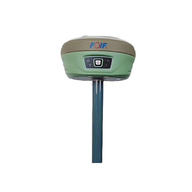
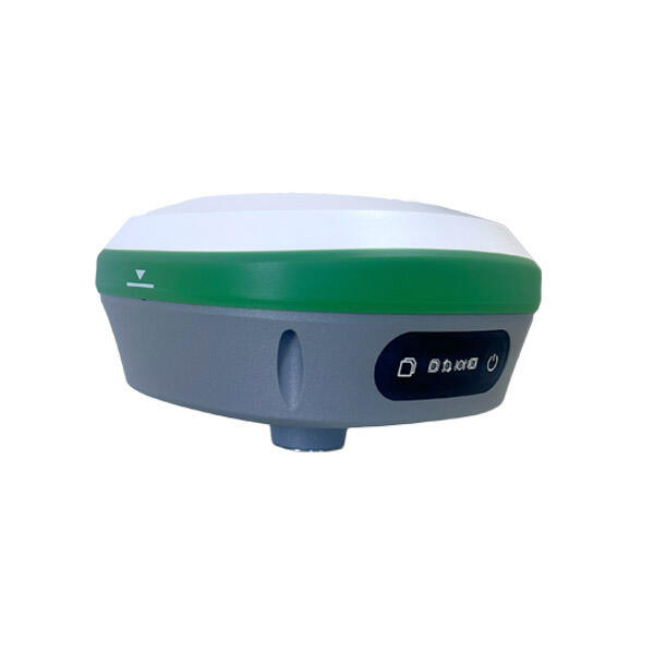
Real Time Kinematic RTK represents a revolutionary advancement in satellite navigation technology that delivers centimeter-level positioning accuracy in real-time applications. This sophisticated positioning technique enhances standard GPS capabilities by utilizing a network of reference stations that transmit correction data to mobile receivers, dramatically improving measurement precision from meters to centimeters. Real Time Kinematic RTK systems operate by establishing a base station at a known location, which continuously monitors satellite signals and calculates positioning errors caused by atmospheric interference, satellite clock drift, and orbital variations. The base station then broadcasts these correction signals to nearby rovers, enabling them to achieve unprecedented accuracy levels. The technological foundation of Real Time Kinematic RTK relies on carrier phase measurements rather than traditional code-based positioning methods. This approach allows the system to track the precise phase of satellite carrier waves, providing significantly more detailed positional information. Modern Real Time Kinematic RTK solutions incorporate multiple satellite constellations including GPS, GLONASS, Galileo, and BeiDou, ensuring robust coverage and reliability across diverse geographical regions. The system operates effectively within a typical range of 10-20 kilometers from the base station, though network RTK solutions can extend this coverage area substantially. Real Time Kinematic RTK technology finds extensive applications across numerous industries requiring high-precision positioning. Construction and engineering projects utilize these systems for precise site surveying, machine control, and infrastructure development. Agricultural operations benefit from Real Time Kinematic RTK through precision farming techniques, enabling accurate field mapping, automated machinery guidance, and optimized crop management. Land surveying professionals rely on this technology for boundary determination, topographic mapping, and cadastral surveys. Transportation and logistics industries implement Real Time Kinematic RTK for fleet management, autonomous vehicle navigation, and precise delivery tracking. The mining sector employs these systems for equipment positioning, excavation control, and safety monitoring in challenging environments.

Popular Products

Real Time Kinematic RTK technology offers substantial advantages that transform how professionals approach precision positioning tasks across multiple industries. The primary benefit lies in its exceptional accuracy capabilities, delivering centimeter-level precision that surpasses traditional GPS systems by significant margins. This enhanced accuracy translates directly into improved project outcomes, reduced rework costs, and enhanced operational efficiency for businesses requiring precise positioning data. Professional users experience immediate productivity gains through Real Time Kinematic RTK implementation, as the technology eliminates time-consuming post-processing procedures required by conventional surveying methods. Field teams can obtain accurate measurements instantly, allowing for real-time decision-making and faster project completion. This immediate feedback capability proves invaluable in construction environments where delays can result in substantial cost overruns and schedule disruptions. Cost-effectiveness represents another compelling advantage of Real Time Kinematic RTK systems. While initial investment requirements may seem significant, the long-term savings achieved through improved efficiency, reduced labor costs, and minimized errors quickly justify the expenditure. Organizations report substantial reductions in surveying time, often completing tasks in hours rather than days compared to traditional methods. The technology eliminates the need for multiple site visits and extensive manual calculations, freeing skilled personnel for higher-value activities. Reliability stands as a cornerstone benefit of Real Time Kinematic RTK technology, with modern systems providing consistent performance across diverse environmental conditions. Advanced error correction algorithms and multi-constellation satellite support ensure continuous operation even in challenging locations with limited sky visibility. This dependability allows businesses to maintain consistent workflow schedules and meet critical project deadlines without weather-related delays or equipment failures. Versatility represents a significant competitive advantage, as Real Time Kinematic RTK systems adapt seamlessly to various applications and industries. The same equipment serves multiple purposes, from construction layout and agricultural guidance to environmental monitoring and emergency response operations. This flexibility maximizes return on investment while reducing equipment inventory requirements. User-friendly interfaces and intuitive operation procedures make Real Time Kinematic RTK technology accessible to personnel with varying technical backgrounds. Modern systems feature simplified workflows, automated processes, and comprehensive training resources that minimize learning curves and accelerate adoption rates within organizations.

Tips And Tricks

What Should Engineers Check Before Choosing an RTK System?

22

Dec

What Should Engineers Check Before Choosing an RTK System?

Selecting the right RTK system represents one of the most critical decisions in modern surveying and construction projects. Engineers must navigate through numerous technical specifications, accuracy requirements, and operational considerations to en...
View More
Why Do Mapping Teams Prefer RTK for Real-Time Positioning Tasks?

22

Dec

Why Do Mapping Teams Prefer RTK for Real-Time Positioning Tasks?

Modern mapping teams face unprecedented demands for precision and speed in their surveying operations. The evolution of positioning technologies has revolutionized how professionals approach field data collection, with RTK for real-time positioning e...
View More
What Should Buyers Compare When Sourcing RTK GPS Equipment?

13

Jan

What Should Buyers Compare When Sourcing RTK GPS Equipment?

Modern construction, surveying, and agricultural operations increasingly rely on precise positioning technology to achieve millimeter-level accuracy in their work. When sourcing RTK GPS equipment, buyers face numerous technical specifications, featur...
View More
How Does RTK GPS Reduce Errors in Professional Survey Work?

13

Jan

How Does RTK GPS Reduce Errors in Professional Survey Work?

Professional surveying demands precision that can make the difference between project success and costly mistakes. Traditional GPS systems, while revolutionary, often fall short of the accuracy requirements needed for construction, engineering, and l...
View More

Get a Free Quote

Our representative will contact you soon.
Email
Name
Company Name
Message
0/1000

real time kinematic rtk

Unmatched Precision and Accuracy Performance

Unmatched Precision and Accuracy Performance

Real Time Kinematic RTK technology revolutionizes positioning accuracy by delivering measurements precise to within 1-3 centimeters, representing a quantum leap beyond standard GPS capabilities that typically provide 3-5 meter accuracy levels. This extraordinary precision stems from sophisticated carrier phase measurement techniques that track satellite signal wavelengths rather than relying solely on time-based code measurements used by conventional positioning systems. The Real Time Kinematic RTK process involves continuous monitoring of satellite signals by base stations positioned at precisely known coordinates, which calculate and broadcast correction data to eliminate atmospheric disturbances, satellite orbital errors, and clock synchronization issues that degrade standard GPS accuracy. Professional applications demanding exceptional precision benefit immensely from Real Time Kinematic RTK implementation, particularly in construction projects where millimeter-level accuracy determines structural integrity and compliance with engineering specifications. Survey teams utilize this technology to establish precise property boundaries, create detailed topographic maps, and conduct engineering surveys that form the foundation for major infrastructure developments. Agricultural operations leverage Real Time Kinematic RTK precision for variable rate application systems that optimize fertilizer and chemical distribution based on exact field conditions, resulting in improved crop yields and reduced environmental impact. The technology enables autonomous machinery to follow predetermined paths with remarkable consistency, ensuring uniform field operations and minimizing overlap or gaps that waste resources. Manufacturing and industrial applications employ Real Time Kinematic RTK for precise positioning of heavy equipment, automated material handling systems, and quality control processes requiring exact dimensional verification. Mining operations depend on this accuracy for safety-critical applications including blast hole drilling, equipment positioning in hazardous areas, and precise excavation control that maximizes resource extraction while maintaining operational safety standards.
Real-Time Operation and Instant Results

Real-Time Operation and Instant Results

Real Time Kinematic RTK technology transforms traditional surveying and positioning workflows by providing immediate, actionable results that eliminate lengthy post-processing delays and enable instant decision-making in field environments. Unlike conventional surveying methods that require hours or days of office-based calculations and data analysis, Real Time Kinematic RTK systems deliver precise measurements instantly, allowing field teams to verify results, make corrections, and complete projects without returning to office facilities for data processing. This real-time capability proves invaluable in construction environments where project schedules demand immediate confirmation of measurements and positioning accuracy. Site supervisors can verify excavation depths, foundation layouts, and structural alignments instantly, enabling construction crews to proceed with confidence and maintain aggressive project timelines. Real Time Kinematic RTK technology facilitates dynamic workflows where multiple teams coordinate activities based on shared, real-time positioning data, improving overall project efficiency and reducing costly delays caused by measurement uncertainties or communication gaps. Emergency response operations benefit significantly from Real Time Kinematic RTK real-time capabilities, as first responders require immediate, accurate location information for search and rescue missions, disaster assessment, and resource deployment coordination. The technology enables rapid establishment of incident command centers, precise mapping of affected areas, and real-time tracking of response personnel and equipment. Environmental monitoring applications utilize Real Time Kinematic RTK for immediate assessment of changing conditions, pollution tracking, and wildlife management where delayed data could compromise critical decision-making processes. Transportation and logistics operations depend on real-time positioning for fleet management, route optimization, and delivery verification systems that require immediate confirmation of vehicle locations and cargo status. The instant feedback provided by Real Time Kinematic RTK systems enables operators to identify and correct positioning errors immediately, preventing costly mistakes and ensuring project specifications are met on the first attempt.
Cost-Effective and Scalable Solution

Cost-Effective and Scalable Solution

Real Time Kinematic RTK technology represents a highly cost-effective positioning solution that delivers substantial return on investment through improved operational efficiency, reduced labor requirements, and elimination of costly rework scenarios that plague traditional surveying methods. Organizations implementing Real Time Kinematic RTK systems typically experience immediate productivity gains as field teams complete surveying tasks in fraction of the time required by conventional methods, often reducing project durations from weeks to days while maintaining superior accuracy standards. The technology eliminates expensive post-processing procedures that traditionally require specialized software licenses, skilled technicians, and extensive computational resources, allowing organizations to redirect these resources toward revenue-generating activities. Real Time Kinematic RTK systems scale effectively across organizations of all sizes, from individual contractors requiring basic positioning capabilities to large enterprises managing complex, multi-site operations requiring coordinated surveying activities. Network RTK solutions enable multiple users to share correction data from centralized base stations, dramatically reducing per-user costs while expanding coverage areas beyond traditional single-base limitations. This scalable approach allows organizations to grow their Real Time Kinematic RTK capabilities incrementally, adding users and coverage areas as business requirements expand without significant infrastructure investments. Equipment versatility contributes significantly to cost-effectiveness, as Real Time Kinematic RTK systems serve multiple applications across diverse industries using the same hardware platform. Construction companies utilize identical equipment for site surveying, machine control, and quality assurance activities, maximizing utilization rates and minimizing equipment inventory costs. Agricultural operations employ Real Time Kinematic RTK technology for field mapping, precision planting, variable rate applications, and harvest optimization using shared equipment resources that serve multiple seasonal activities. Maintenance costs remain minimal due to robust system designs and comprehensive manufacturer support programs that ensure long-term reliability and performance. Training requirements are reduced through intuitive user interfaces and automated operation procedures that minimize learning curves and enable rapid deployment across field teams with varying technical backgrounds.

Get a Free Quote

Our representative will contact you soon.
Email
Name
Company Name
Message
0/1000