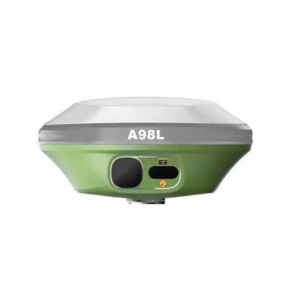
Rugged Environmental Design and Durability
The rugged environmental design of a professional GNSS receiver for surveying ensures reliable performance and longevity under the demanding conditions commonly encountered in field surveying operations, making it an indispensable tool for professionals working across diverse and challenging environments. This robust construction philosophy incorporates military-grade materials, advanced sealing technologies, and shock-resistant engineering that protects sensitive electronic components from environmental hazards including dust, moisture, extreme temperatures, and physical impacts. The GNSS receiver for surveying typically features IP67 or IP68 ingress protection ratings, providing complete protection against dust infiltration and temporary water submersion, essential characteristics for equipment that frequently operates in wet conditions, dusty construction sites, or harsh outdoor environments. Temperature resilience represents a critical design element, with professional-grade GNSS receivers for surveying engineered to function reliably across extreme temperature ranges from -40°C to +70°C, ensuring consistent performance in arctic conditions, desert environments, and tropical climates where many surveying projects take place. The structural integrity of the housing utilizes impact-resistant materials and shock-absorbing designs that protect against drops, vibrations, and rough handling typical in field operations. This durability extends equipment lifespan and reduces replacement costs while maintaining measurement accuracy over years of intensive use. Corrosion resistance features protect metallic components from salt spray, chemical exposure, and atmospheric pollutants, particularly important for coastal surveying projects or industrial environments where corrosive substances may be present. The GNSS receiver for surveying incorporates advanced thermal management systems that regulate internal temperatures and prevent component degradation under extreme operating conditions. Battery systems within rugged GNSS receivers for surveying utilize high-capacity, cold-weather resistant cells that maintain power delivery throughout extended field sessions, even in freezing temperatures that would severely limit standard electronic devices. The user interface design balances durability with functionality, featuring sealed keypads, scratch-resistant displays with high visibility under direct sunlight, and intuitive controls that remain operable while wearing heavy gloves. Quality assurance testing for professional GNSS receivers for surveying includes rigorous environmental simulation, drop testing, vibration analysis, and accelerated aging procedures that verify long-term reliability and performance consistency. This comprehensive approach to rugged design ensures that investment in a quality GNSS receiver for surveying provides years of dependable service while maintaining accuracy standards required for professional surveying applications.