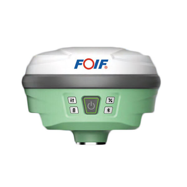
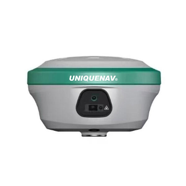
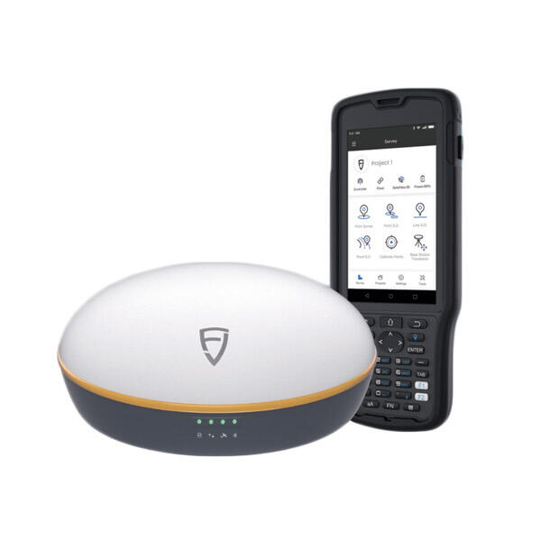
dual band gps receiver
A dual band GPS receiver represents a significant advancement in satellite navigation technology, offering enhanced accuracy and reliability compared to traditional single-frequency systems. This sophisticated device operates on two distinct GPS frequency bands, typically L1 and L5, enabling it to receive and process signals from multiple satellite constellations simultaneously. The dual band GPS receiver utilizes advanced signal processing algorithms to combine information from both frequency bands, resulting in improved positioning accuracy and faster signal acquisition times. The primary function of a dual band GPS receiver involves capturing satellite signals across different frequencies, which allows the device to calculate precise location coordinates with remarkable accuracy. These receivers employ sophisticated ionospheric correction techniques that significantly reduce atmospheric interference, a common source of positioning errors in single-band systems. The technological architecture of a dual band GPS receiver includes high-sensitivity antennas capable of tracking weak signals, powerful processing units for real-time calculations, and advanced filtering systems that eliminate signal noise and interference. Modern dual band GPS receivers support multiple global navigation satellite systems, including GPS, GLONASS, Galileo, and BeiDou, providing users with comprehensive global coverage and redundancy. The device continuously monitors signal quality from available satellites, automatically selecting the strongest and most reliable signals for position calculations. Applications for dual band GPS receivers span numerous industries and use cases, from precision agriculture and surveying to autonomous vehicles and marine navigation. Professional surveyors rely on dual band GPS receivers for boundary mapping, construction layout, and topographical surveys where centimeter-level accuracy is essential. Agricultural professionals use these devices for precision farming applications, including variable rate seeding, fertilizer application, and crop monitoring. The aviation industry employs dual band GPS receivers for approach and landing systems, providing pilots with accurate guidance during critical flight phases. Maritime applications include vessel tracking, navigation in challenging coastal waters, and offshore positioning for drilling operations.