Versatile Applications Across Construction and Engineering Projects
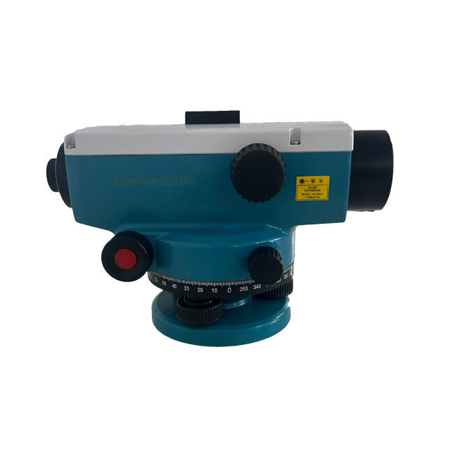
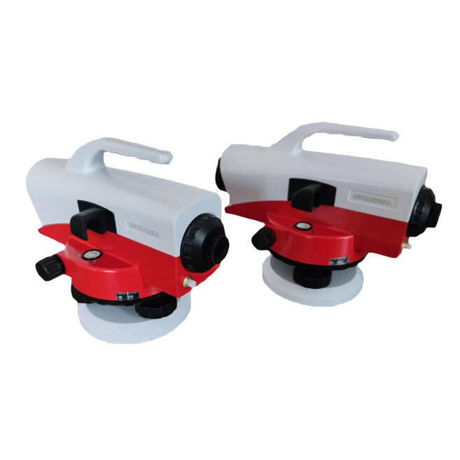
The auto level survey demonstrates remarkable versatility across diverse construction, engineering, and land development applications, making it an indispensable tool for professionals working on projects ranging from residential foundations to major infrastructure developments. In foundation construction, the auto level survey enables precise establishment of elevation benchmarks, ensuring that concrete pours meet exact specifications and that structural elements align properly with architectural plans. Road construction teams rely on auto level survey instruments to establish proper grade slopes, verify pavement elevations, and ensure drainage systems function effectively by maintaining precise elevation relationships across extensive roadway networks. The instrument proves equally valuable for site preparation activities, where accurate elevation measurements guide earthmoving operations, cut and fill calculations, and final grade establishment. Professional surveyors use auto level survey equipment for boundary determinations, topographic mapping, and establishing control points that serve as references for subsequent construction activities. In utility installation projects, the auto level survey ensures that water, sewer, and electrical systems maintain proper slopes and elevations for optimal functionality and code compliance. Agricultural applications benefit from the instrument's precision in land leveling operations, irrigation system installation, and drainage improvement projects where precise elevation control directly impacts crop production and water management effectiveness. The auto level survey excels in monitoring applications, where regular elevation measurements track settling, subsidence, or structural movement over time. Construction quality control procedures rely on auto level survey accuracy to verify that completed work meets specified tolerances and industry standards. Environmental engineering projects utilize these instruments for flood plain mapping, watershed analysis, and ecological restoration activities where elevation data provides critical information for project planning and implementation. The adaptability of auto level survey technology enables its effective use across seasonal conditions and varying terrain types, from urban construction sites to remote agricultural areas, consistently delivering reliable measurement data that supports informed decision-making and successful project completion.