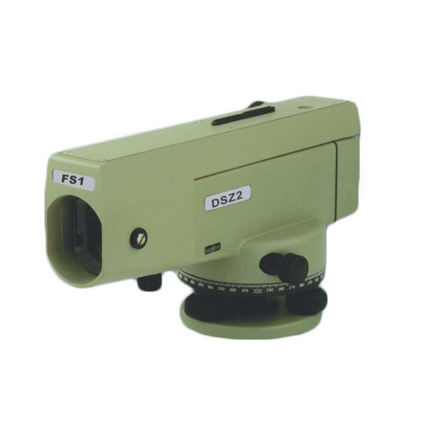
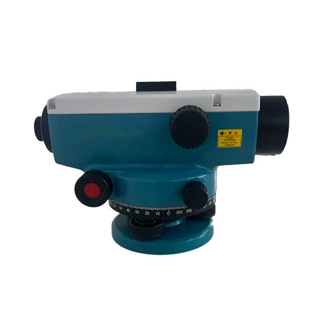
Versatile Applications Across Multiple Construction Disciplines
The remarkable versatility of automatic level surveying makes it an indispensable tool across numerous construction and engineering disciplines, providing consistent accuracy and reliability regardless of project scope or complexity. Civil engineering applications benefit from the instrument's ability to establish precise grade lines for roadway construction, where even minor elevation errors can result in drainage problems and costly reconstruction work. Highway contractors rely on automatic level surveying for setting accurate slope grades that ensure proper water runoff while maintaining smooth driving surfaces that meet stringent transportation department specifications. Building construction projects utilize these instruments for foundation layout, floor level verification, and structural element alignment, where precision directly impacts structural integrity and compliance with architectural plans. The accuracy of automatic level surveying proves essential for concrete work, where level floors, properly sloped parking structures, and correctly positioned structural elements depend on reliable elevation control throughout the construction process. Landscaping professionals employ automatic level surveying for grading projects, irrigation system installation, and drainage design, where precise elevation data ensures effective water management and prevents erosion problems. Site preparation contractors depend on these instruments for establishing cut and fill quantities, designing proper site drainage, and creating level building pads that meet engineering specifications and local building codes. Underground utility installation requires the precision of automatic level surveying to maintain proper pipe grades for gravity-fed systems, including sewer lines, storm drains, and water distribution networks where incorrect slopes can cause system failures. Agricultural applications have embraced automatic level surveying for land leveling operations, irrigation system design, and precision farming techniques where elevation data drives water management decisions and crop production optimization. Environmental monitoring projects utilize these instruments for wetland surveys, erosion studies, and habitat restoration work where accurate topographic data supports ecological research and regulatory compliance requirements. The adaptability of automatic level surveying to various rod types, measurement units, and operational procedures ensures compatibility with diverse project requirements and international standards, making it suitable for global construction operations and multinational engineering firms seeking standardized measurement capabilities across multiple geographic locations.