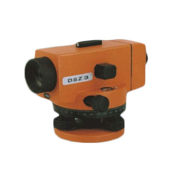
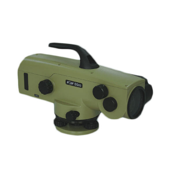
digital auto level machine
The digital auto level machine represents a revolutionary advancement in precision measurement technology, designed to streamline surveying and construction processes with unprecedented accuracy and efficiency. This sophisticated instrument combines traditional leveling principles with cutting-edge digital technology to deliver exceptional performance in various professional applications. At its core, the digital auto level machine functions as an optical surveying instrument that automatically determines height differences and establishes horizontal reference planes with minimal manual intervention. The device incorporates advanced compensator mechanisms that automatically correct for minor instrument tilting, ensuring consistent and reliable measurements even in challenging field conditions. The digital display system eliminates the need for manual reading of traditional graduated staffs, significantly reducing human error and increasing measurement speed. Modern digital auto level machines feature integrated data storage capabilities, allowing surveyors to record, store, and transfer measurement data directly to computers or mobile devices for further analysis and documentation. The instrument typically includes programmable settings for various measurement modes, including basic leveling, stakeout operations, and differential height calculations. Many models incorporate Bluetooth or USB connectivity options, enabling seamless integration with contemporary surveying software and field data collection systems. The robust construction of these machines ensures reliable operation in diverse environmental conditions, from construction sites to remote surveying locations. Weather-resistant housings protect sensitive internal components from dust, moisture, and temperature variations, making the digital auto level machine suitable for year-round outdoor use. The ergonomic design principles incorporated in these instruments reduce operator fatigue during extended surveying sessions, while intuitive control interfaces minimize the learning curve for new users. Advanced models feature automatic target recognition technology, which can identify and lock onto specially designed surveying staffs, further enhancing measurement accuracy and operational efficiency in professional surveying applications.