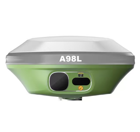
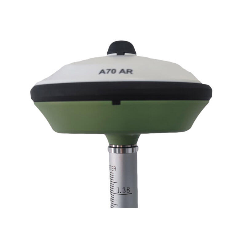
rtk navigation system
The RTK navigation system represents a revolutionary advancement in global positioning technology that delivers centimeter-level accuracy for professional applications. RTK, which stands for Real-Time Kinematic positioning, enhances traditional GPS functionality by utilizing differential correction techniques to eliminate atmospheric delays and satellite orbit errors. This sophisticated RTK navigation system operates through a network of base stations that transmit correction signals to rover receivers, enabling unprecedented positioning precision that surpasses standard GPS accuracy by significant margins. The core mechanism of an RTK navigation system involves carrier phase measurements rather than relying solely on code-based positioning. Base stations continuously monitor satellite signals and calculate correction factors that account for ionospheric disturbances, tropospheric delays, and satellite clock variations. These corrections are then broadcast to mobile units within the coverage area, allowing the RTK navigation system to achieve positioning accuracy typically within 1-3 centimeters horizontally and 2-5 centimeters vertically. The technological architecture incorporates multiple satellite constellations including GPS, GLONASS, Galileo, and BeiDou systems, maximizing signal availability and reliability across diverse geographical locations. Advanced algorithms process carrier phase observations in real-time, computing precise coordinates through complex mathematical models that account for various error sources. The RTK navigation system operates effectively across multiple frequency bands, utilizing L1, L2, and L5 signals to enhance measurement redundancy and accuracy. Communication protocols ensure seamless data transmission between base stations and rovers through radio links, cellular networks, or internet connections. Modern RTK navigation system implementations support various correction formats including RTCM standards, enabling interoperability between different manufacturers and applications. The system maintains consistent performance across challenging environments, from urban canyons to remote agricultural fields, making it indispensable for surveying, construction, agriculture, and autonomous vehicle applications.