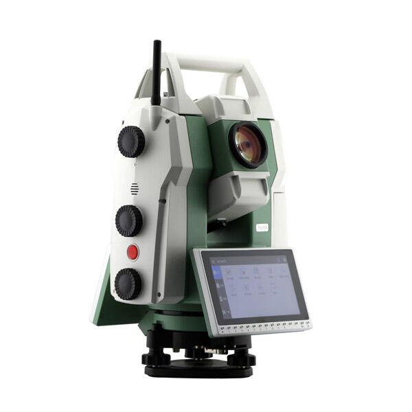
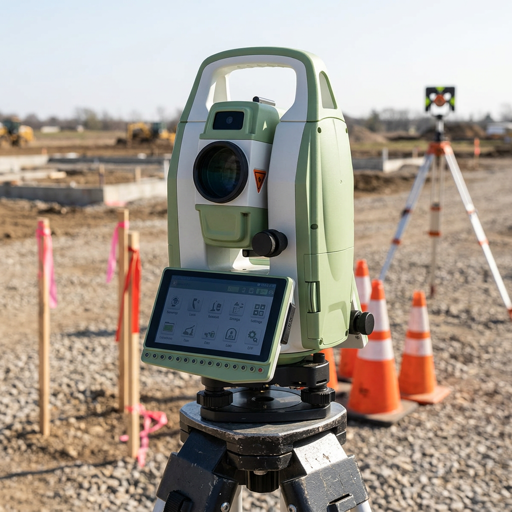
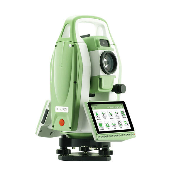
Superior Accuracy and Reliability Performance
RTK GPS without base station achieves superior accuracy and reliability performance through advanced correction methodologies and redundant system architectures that often exceed traditional RTK capabilities while providing enhanced operational consistency across diverse environmental conditions. The technology leverages professionally maintained correction networks operated by specialized service providers who employ multiple reference stations, sophisticated quality control procedures, and continuous monitoring systems to ensure optimal correction data integrity. These networks typically achieve accuracy levels of 2-3 centimeters horizontally and 5-7 centimeters vertically, often surpassing single base station performance while providing coverage across vast geographical regions. Reliability improvements stem from redundant correction sources that automatically switch between available networks when signal quality diminishes or connectivity issues arise, ensuring continuous operation without user intervention. The technology incorporates advanced error modeling techniques that account for atmospheric conditions, satellite geometry, and ionospheric disturbances more effectively than traditional RTK systems, particularly over longer baseline distances. Multi-constellation satellite support enhances accuracy and reliability by utilizing GPS, GLONASS, Galileo, and BeiDou signals simultaneously, providing superior satellite availability and geometric strength in challenging environments such as urban canyons, forested areas, or mountainous terrain. Quality indicators and real-time accuracy assessment features enable users to monitor measurement confidence levels continuously, ensuring data collection meets project specifications without post-processing verification requirements. The technology demonstrates exceptional performance consistency across varying baseline distances, maintaining accuracy specifications whether operating near correction network stations or at maximum service boundaries. Interference mitigation capabilities protect against radio frequency disruptions common in industrial environments, construction sites, or areas with high electromagnetic activity. Atmospheric modeling improvements account for regional weather patterns, elevation changes, and seasonal variations more effectively than localized base stations, particularly beneficial for large-scale projects spanning diverse geographic conditions. The reliability advantage extends to data integrity verification through multiple independent correction sources, automated quality checks, and real-time validation algorithms that identify and correct potential measurement errors before they impact project deliverables. Professional users report confidence levels exceeding traditional RTK systems due to reduced equipment failure points, eliminated radio transmission issues, and consistent performance across varying operational conditions, making the technology ideal for critical applications requiring absolute positioning reliability.