rtk for land surveying
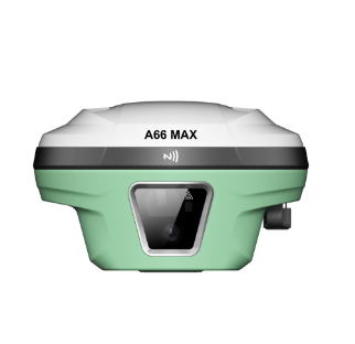
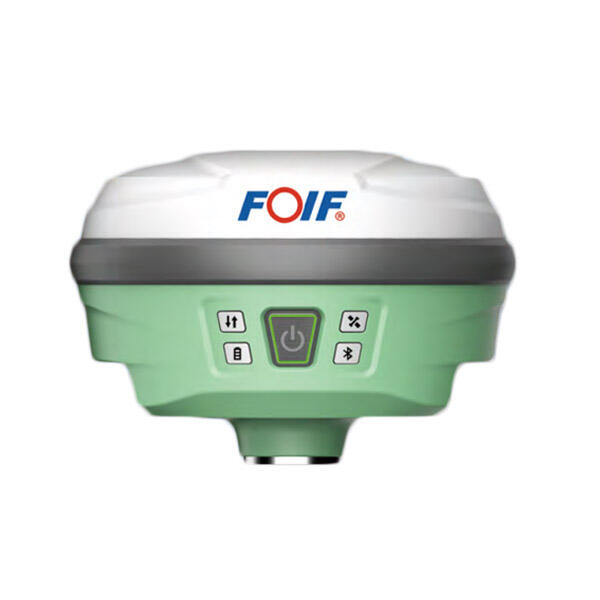
Real Time Kinematic (RTK) for land surveying represents a revolutionary advancement in precision positioning technology that has transformed the surveying industry. This sophisticated satellite navigation technique utilizes GPS, GLONASS, and other global navigation satellite systems to deliver centimeter-level accuracy in real-time measurements. RTK for land surveying operates by establishing a base station at a known coordinate position, which continuously receives satellite signals and calculates positioning corrections. These corrections are then transmitted to mobile rovers operating in the field, enabling surveyors to achieve unprecedented accuracy levels typically within 1-3 centimeters horizontally and vertically. The technology relies on carrier phase measurements rather than traditional code-based positioning, allowing for superior precision compared to standard GPS systems. Modern RTK for land surveying systems incorporate advanced features including multi-constellation support, atmospheric modeling, and sophisticated error correction algorithms. The base station component continuously monitors satellite signals, identifying and quantifying various error sources such as atmospheric delays, satellite clock errors, and orbital inaccuracies. This information is processed and transmitted to field units via radio links, cellular networks, or internet connections. Field applications of RTK for land surveying span numerous disciplines including boundary surveys, topographic mapping, construction layout, infrastructure development, and cadastral surveys. The technology supports various measurement modes including static observations, kinematic surveys, and stop-and-go techniques, providing flexibility for different project requirements. Integration capabilities with Geographic Information Systems (GIS) and Computer-Aided Design (CAD) software enhance workflow efficiency and data management. Contemporary RTK for land surveying systems feature ruggedized hardware designed to withstand harsh environmental conditions, extended battery life for full-day operations, and intuitive user interfaces that minimize training requirements while maximizing productivity.