Dual Frequency GNSS: Advanced Satellite Navigation Technology for Precision Positioning and Enhanced Accuracy

All Categories

dual frequency gnss

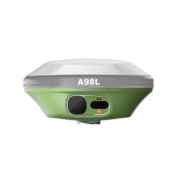
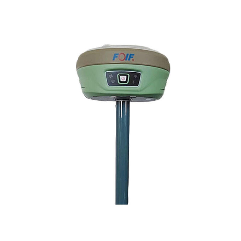
Dual frequency GNSS represents a revolutionary advancement in satellite navigation technology that operates on two distinct frequency bands simultaneously. This sophisticated positioning system utilizes signals from multiple satellite constellations including GPS, GLONASS, Galileo, and BeiDou to deliver exceptional accuracy and reliability. The dual frequency GNSS technology works by receiving signals on both L1 and L5 frequencies, allowing the system to calculate and correct for ionospheric delays that typically affect single-frequency receivers. The main functions of dual frequency GNSS include precise positioning, navigation timing, and real-time kinematic surveying capabilities. The system provides centimeter-level accuracy in optimal conditions, making it invaluable for professional applications requiring high precision. Technological features of dual frequency GNSS encompass advanced signal processing algorithms, multi-constellation support, and sophisticated error correction mechanisms. The receiver can track more satellites simultaneously, ensuring better position dilution of precision and improved signal availability in challenging environments. Key applications span across surveying and mapping, autonomous vehicle navigation, precision agriculture, construction site management, and marine operations. The technology proves essential for drone operations, robotics applications, and any scenario where standard GPS accuracy proves insufficient. Additionally, dual frequency GNSS systems offer faster convergence times and enhanced performance in urban canyons where signal reflection commonly occurs. The ability to process multiple frequency bands enables the system to distinguish between direct and reflected signals, significantly reducing multipath errors. This makes dual frequency GNSS particularly valuable for applications in dense urban environments, under tree canopies, or near large structures where traditional single-frequency systems struggle to maintain accuracy.

New Product Recommendations

The advantages of dual frequency GNSS technology create substantial value for users across various industries and applications. Enhanced accuracy stands as the primary benefit, with dual frequency GNSS systems delivering positioning precision within centimeters compared to the meter-level accuracy of standard GPS receivers. This improvement occurs because the system can measure and correct ionospheric delays that distort satellite signals, resulting in more reliable position calculations. Users experience faster position fixes and reduced convergence times, allowing for immediate high-precision measurements without lengthy initialization periods. The dual frequency GNSS technology provides superior performance in challenging environments where single-frequency systems typically fail or deliver poor results. Urban areas with tall buildings, dense forests, and mountainous terrain no longer pose significant obstacles to accurate positioning. The system maintains consistent performance by tracking multiple satellite constellations simultaneously, ensuring position availability even when some satellites become blocked or experience interference. Improved reliability translates directly into increased productivity for professional users. Construction teams can complete surveys more efficiently, farmers can implement precision agriculture techniques with confidence, and autonomous vehicle developers can rely on consistent navigation data. The technology reduces operational costs by minimizing the need for repeated measurements and survey corrections. Weather conditions that traditionally impact GPS performance have less effect on dual frequency GNSS systems. The ability to process signals from multiple frequency bands allows the receiver to maintain accuracy during atmospheric disturbances that would otherwise degrade positioning quality. This weather independence proves crucial for outdoor operations that cannot be postponed due to environmental conditions. Maritime and aviation applications benefit from enhanced safety margins, as dual frequency GNSS provides the precision required for critical navigation decisions. The technology supports real-time corrections and can integrate with various augmentation services to achieve even higher accuracy levels when needed.

Latest News

GNSS RTK: The Ultimate Guide to Real-Time Kinematic Surveying

27

Nov

GNSS RTK: The Ultimate Guide to Real-Time Kinematic Surveying

Real-Time Kinematic (RTK) technology has revolutionized the field of surveying by providing centimeter-level accuracy in positioning measurements. This advanced Global Navigation Satellite System (GNSS) technique enables surveyors, construction profe...
View More
How Does RTK GPS Reduce Errors in Professional Survey Work?

13

Jan

How Does RTK GPS Reduce Errors in Professional Survey Work?

Professional surveying demands precision that can make the difference between project success and costly mistakes. Traditional GPS systems, while revolutionary, often fall short of the accuracy requirements needed for construction, engineering, and l...
View More
How Can a Digital Level Boost Efficiency in Surveying Tasks?

11

Feb

How Can a Digital Level Boost Efficiency in Surveying Tasks?

Modern surveying operations demand precision, speed, and reliability to meet tight project deadlines while maintaining accuracy standards. Traditional surveying methods, while foundational, often fall short of the efficiency requirements in today's f...
View More
Why Are Digital Levels Preferred Over Traditional Bubble Levels?

11

Feb

Why Are Digital Levels Preferred Over Traditional Bubble Levels?

The construction and engineering industries have witnessed a significant transformation in measurement tools over the past decade. Among these advancements, digital levels have emerged as the preferred choice for professionals who demand precision, e...
View More

Get a Free Quote

Our representative will contact you soon.
Email
Name
Company Name
Message
0/1000

dual frequency gnss

Superior Ionospheric Correction Capabilities

Superior Ionospheric Correction Capabilities

The ionospheric correction capability of dual frequency GNSS represents one of its most significant technological achievements, fundamentally transforming how satellite positioning systems handle atmospheric interference. The ionosphere, a layer of charged particles in the upper atmosphere, traditionally causes signal delays that introduce errors of several meters in single-frequency GPS systems. Dual frequency GNSS overcomes this limitation by simultaneously receiving signals on two different frequencies, typically L1 and L5 bands, which experience different delay amounts when passing through the ionosphere. The receiver calculates the difference between these delays and uses advanced algorithms to determine the exact ionospheric effect, effectively eliminating this major source of positioning error. This ionospheric correction process happens in real-time, providing immediate benefits without requiring additional infrastructure or correction services. The technology proves especially valuable during periods of high solar activity when ionospheric disturbances intensify, as dual frequency GNSS maintains consistent accuracy while single-frequency systems experience significant degradation. Users operating in equatorial regions, where ionospheric effects are most pronounced, gain substantial performance improvements. The correction capability extends beyond simple error reduction, enabling the system to maintain accuracy across varying atmospheric conditions throughout the day and across different seasons. Professional surveyors can rely on consistent measurements regardless of ionospheric variability, while precision agriculture applications maintain field boundary accuracy across different weather patterns. The ionospheric correction feature also enhances the performance of real-time kinematic applications, reducing the time required to achieve fixed solutions and improving overall system reliability. This capability makes dual frequency GNSS particularly valuable for applications requiring long-term consistency, such as monitoring structural deformation or tracking gradual environmental changes where measurement repeatability is crucial for detecting actual changes rather than system-induced variations.
Enhanced Multi-Path Rejection Technology

Enhanced Multi-Path Rejection Technology

Multi-path rejection technology in dual frequency GNSS systems provides exceptional performance in complex signal environments where traditional GPS receivers struggle to maintain accuracy. Multi-path errors occur when satellite signals reflect off buildings, vehicles, terrain features, or other obstacles before reaching the receiver, creating false signal paths that can significantly distort position calculations. Dual frequency GNSS addresses this challenge through sophisticated signal processing techniques that analyze the characteristics of received signals across both frequency bands. The system can distinguish between direct satellite signals and reflected signals by examining signal strength patterns, arrival times, and frequency characteristics that differ between direct and multi-path signals. Advanced correlation algorithms compare signal patterns across frequencies to identify and reject corrupted data, ensuring only authentic direct signals contribute to position calculations. This multi-path rejection capability proves especially beneficial in urban environments where building reflections create complex signal propagation patterns. Construction sites with heavy machinery, ports with large metal structures, and mining operations surrounded by equipment all benefit from this enhanced signal processing. The technology enables accurate positioning even when operating near large metal objects or in environments with significant electromagnetic interference. Dual frequency GNSS systems can maintain centimeter-level accuracy in conditions where single-frequency receivers experience errors of several meters due to multi-path interference. The rejection algorithms continuously adapt to changing environmental conditions, automatically adjusting processing parameters as the receiver moves through different terrain or as obstacles shift around the operating area. This adaptive capability ensures consistent performance without requiring manual adjustments or environmental calibration. Applications involving mobile platforms, such as autonomous vehicles or robotic systems, particularly benefit from this technology as they encounter constantly changing signal reflection patterns during operation. The multi-path rejection feature also enhances the reliability of timing applications, where signal integrity directly impacts synchronization accuracy for critical infrastructure systems.
Accelerated Time-to-First-Fix Performance

Accelerated Time-to-First-Fix Performance

The accelerated time-to-first-fix performance of dual frequency GNSS systems dramatically improves operational efficiency by reducing the waiting time required to achieve accurate positioning after system startup. Traditional single-frequency GPS receivers often require several minutes to download satellite data and calculate initial position solutions, during which time users cannot begin productive work. Dual frequency GNSS technology significantly reduces this initialization period through multiple complementary mechanisms that work together to accelerate the acquisition process. The system can simultaneously track satellites across multiple frequency bands and constellation systems, dramatically increasing the number of available signals for position calculation. This expanded signal availability allows the receiver to gather sufficient data for accurate positioning much more quickly than systems limited to single frequencies or satellite constellations. Advanced prediction algorithms utilize previously stored satellite orbital data and precise timing information to estimate satellite positions, reducing the amount of new data required for position calculation. The dual frequency capability also enables faster resolution of integer ambiguities in carrier-phase measurements, which is crucial for achieving centimeter-level accuracy in professional applications. Users experience immediate productivity gains as field operations can begin within seconds rather than minutes of system activation. This rapid initialization proves particularly valuable for applications involving frequent equipment relocation, such as construction surveying, where crews move between multiple measurement points throughout the day. Emergency response teams benefit from instant positioning capability when every second counts for effective coordination and navigation. The accelerated performance also enhances user experience in consumer applications, eliminating the frustrating delays associated with traditional GPS startup procedures. Mobile mapping applications can begin data collection immediately upon arrival at survey locations, while autonomous vehicle systems can achieve operational status more quickly during startup sequences. The technology maintains this rapid acquisition performance even after extended periods of non-use or when operating in new geographical areas, ensuring consistent user experience regardless of usage patterns or deployment locations.

Get a Free Quote

Our representative will contact you soon.
Email
Name
Company Name
Message
0/1000