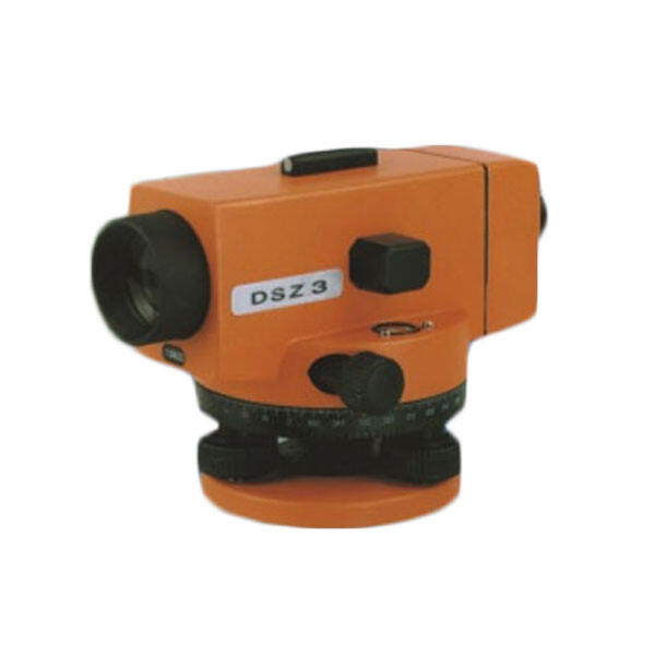
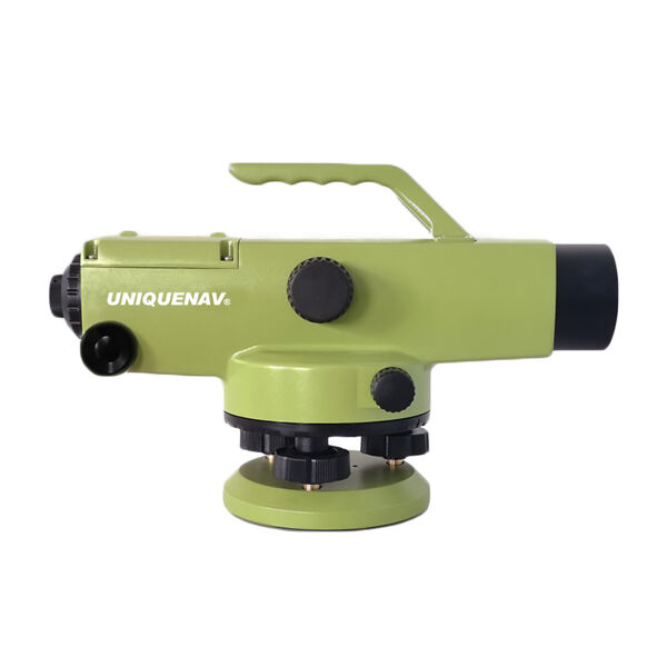
Unmatched Precision and Measurement Range Capabilities
The precision engineering inherent in modern auto level surveying systems delivers measurement capabilities that surpass traditional leveling methods by significant margins, providing accuracy levels that meet the most demanding professional surveying standards. Typical measurement precision reaches 1.5 millimeters per kilometer of leveling circuit, with premium models achieving even tighter tolerances that satisfy geodetic survey requirements and critical infrastructure projects where elevation accuracy directly impacts structural integrity and long-term performance. This exceptional precision stems from advanced optical designs incorporating high-quality glass elements, precise mechanical assemblies, and sophisticated reticle systems that enable operators to interpolate measurements to fractions of millimeter increments. The measurement range capabilities extend across impressive distances, with standard instruments providing clear, accurate readings at distances exceeding 200 meters under normal atmospheric conditions, while specialized models achieve reliable measurements beyond 300 meters with appropriate staff configurations. This extended range capability reduces the number of instrument setups required for large-scale projects, improving efficiency while maintaining measurement continuity that ensures consistent elevation references across entire survey areas. The precision benefits multiply through cumulative accuracy advantages, as each individual measurement maintains tight tolerances that prevent error accumulation over extended leveling circuits. Professional surveyors particularly value this characteristic for establishing benchmark networks and conducting precise elevation transfers between widely separated project areas. Advanced reticle designs facilitate multiple measurement modes, including direct readings, stadia measurements for distance determination, and precise interpolation capabilities that enable fractional graduations beyond staff marking intervals. The optical magnification systems, typically ranging from 20x to 32x power, provide clear target visibility that enables accurate readings even under challenging lighting conditions or at maximum measurement distances. This magnification capability, combined with superior light-gathering optics, extends productive working hours into early morning and late afternoon periods when lighting conditions challenge lesser instruments. Quality control benefits emerge through consistent measurement repeatability, with properly calibrated instruments delivering identical results across multiple observation cycles, enabling statistical analysis and confidence verification that ensures survey reliability. The precision characteristics prove particularly valuable for monitoring applications where subtle elevation changes must be detected, such as foundation settlement monitoring, dam stability assessment, or precise grade establishment for drainage systems requiring specific slope percentages.