rtk real time kinematic gps
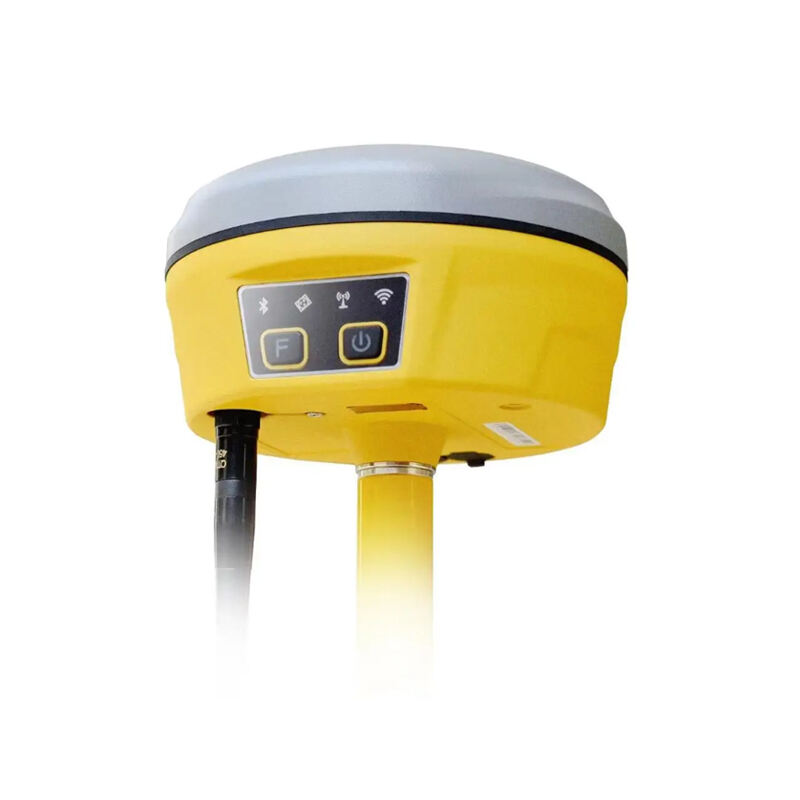
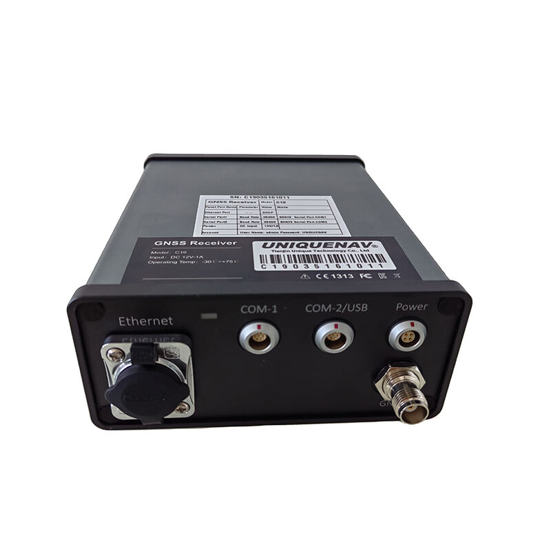
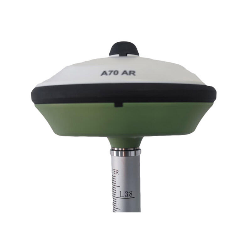
Real Time Kinematic GPS, commonly known as RTK real time kinematic GPS, represents a revolutionary advancement in satellite navigation technology that delivers unprecedented positioning accuracy for professional applications. This sophisticated system combines traditional GPS satellite signals with correction data transmitted from base stations to achieve centimeter-level precision in real-time measurements. The RTK real time kinematic GPS technology works by establishing a reference station at a known location that calculates positioning errors and broadcasts correction signals to mobile receivers within its operational range. The core functionality of RTK real time kinematic GPS centers on its ability to resolve carrier phase ambiguities rapidly, enabling users to obtain precise coordinates within seconds of initialization. This system operates through a network of base stations that continuously monitor satellite signals and compute differential corrections, which are then transmitted to rover units via radio links or cellular networks. The technological architecture incorporates advanced algorithms that process multiple satellite constellation signals, including GPS, GLONASS, Galileo, and BeiDou systems, ensuring robust performance across diverse geographical conditions. Key features include dual-frequency receivers that minimize atmospheric interference, sophisticated error modeling capabilities, and rapid ambiguity resolution techniques that maintain accuracy even in challenging environments. The RTK real time kinematic GPS system finds extensive applications across surveying, construction, agriculture, mining, and geospatial mapping industries where precise positioning is paramount. Professional surveyors utilize this technology for boundary determination, topographic mapping, and infrastructure development projects. Construction teams rely on RTK real time kinematic GPS for machine guidance, grade control, and structural positioning tasks. Agricultural operations benefit from precision farming applications, including automated guidance systems for tractors and precision application of fertilizers and pesticides. The versatility of RTK real time kinematic GPS extends to maritime navigation, aerial surveying, and scientific research applications where millimeter-level accuracy requirements demand superior positioning capabilities.