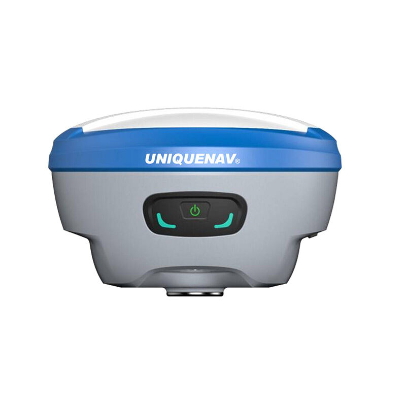
rtk gps system
Real-Time Kinematic (RTK) GPS system represents a significant advancement in precision positioning technology, delivering centimeter-level accuracy in real-time. This sophisticated system operates by utilizing both the carrier phase and code measurements from GPS signals, along with corrections transmitted from a base station to a rover receiver. The base station, positioned at a known fixed location, continuously monitors GPS signals and calculates corrections for various error sources. These corrections are then transmitted to the rover receiver, which applies them to its own GPS measurements to achieve highly accurate positioning results. RTK GPS systems typically consist of three main components: a base station receiver, a rover receiver, and a communication link between them. The system processes complex algorithms to resolve carrier phase ambiguities and eliminate common errors such as atmospheric delays, orbital errors, and clock biases. Modern RTK GPS systems can achieve initialization times of just a few seconds and maintain accuracy even in challenging environments. The technology supports both static and kinematic applications, making it versatile for various industries including precision agriculture, construction, surveying, and machine control applications. The system's ability to provide real-time corrections and maintain high accuracy while in motion has revolutionized many professional fields that require precise positioning capabilities.