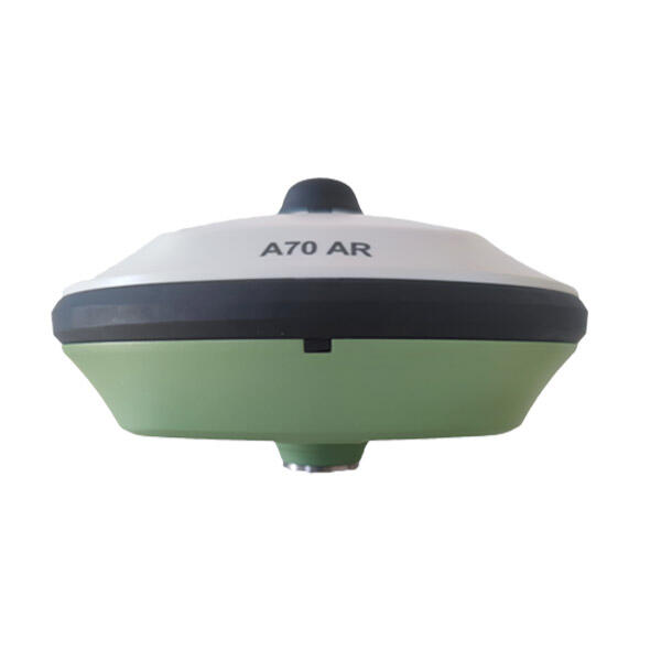
rtk gps unit
The RTK GPS unit represents a significant advancement in precision positioning technology, offering centimeter-level accuracy that far surpasses traditional GPS systems. This sophisticated device utilizes Real-Time Kinematic positioning, a technique that enhances standard GPS measurements by correcting signal errors through continuous communication with base stations. The unit consists of two main components: a base station that remains at a known fixed location and a rover unit that moves with the user. The system works by comparing satellite signals received at both the base station and rover, eliminating common errors and providing real-time corrections. Modern RTK GPS units feature multi-constellation compatibility, working with GPS, GLONASS, Galileo, and BeiDou systems to ensure optimal coverage and reliability. They typically include robust data communication capabilities through radio, cellular, or internet connections, enabling seamless transmission of correction data. These units often incorporate advanced interference mitigation technology and multi-path rejection algorithms to maintain accuracy even in challenging environments. Applications span various industries, including precision agriculture, construction, surveying, mapping, and machine control systems. The technology's ability to provide instant, highly accurate positioning makes it invaluable for tasks requiring precise measurement and positioning in real-time operations.