gps surveying equipment
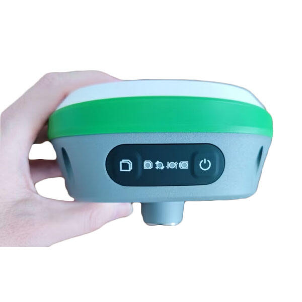
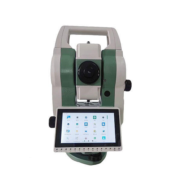
GPS surveying equipment represents a revolutionary advancement in modern land surveying and mapping technology. These sophisticated devices combine Global Positioning System technology with precision measurement capabilities to deliver accurate geographical data collection. The equipment typically consists of a GPS receiver, antenna, data collector, and supporting software that work together to provide centimeter-level accuracy in position determination. Modern GPS surveying systems can track multiple satellite constellations, including GPS, GLONASS, Galileo, and BeiDou, enhancing accuracy and reliability. These devices feature advanced RTK (Real-Time Kinematic) technology, enabling real-time corrections and precise positioning. The equipment offers various data collection modes, including static, rapid static, and kinematic surveying, adapting to different project requirements. Key applications include topographic surveying, construction layout, boundary determination, and GIS data collection. The systems are designed with robust build quality to withstand harsh field conditions while maintaining consistent performance. Many units now incorporate wireless connectivity for immediate data transfer and cloud integration, streamlining the workflow from field to office.