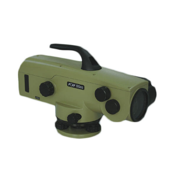
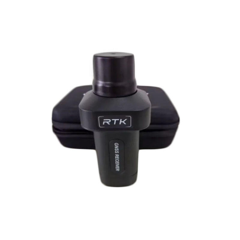
rtk gps survey equipment
RTK GPS survey equipment represents a revolutionary advancement in precision surveying technology. This sophisticated system combines Real-Time Kinematic positioning with Global Positioning System capabilities to deliver centimeter-level accuracy in real-time measurements. The equipment typically consists of a base station that remains stationary at a known point and a rover unit that moves to collect data at various locations. These components work together through advanced radio communication systems, enabling instant corrections and precise positioning. The technology utilizes complex algorithms to process carrier phase measurements of the GPS signals, eliminating common errors and providing highly accurate position solutions. Modern RTK GPS survey equipment features intuitive touchscreen interfaces, robust data storage capabilities, and seamless integration with various mapping software platforms. The systems are designed to operate effectively in challenging environments, offering reliable performance even under tree canopy or in urban settings with potential signal obstacles. They support multiple satellite constellations including GPS, GLONASS, Galileo, and BeiDou, enhancing accuracy and reliability. Applications span across numerous industries, from construction and civil engineering to precision agriculture and environmental monitoring. The equipment's ability to store and export data in various formats makes it invaluable for creating detailed topographic maps, performing boundary surveys, and managing large-scale infrastructure projects.