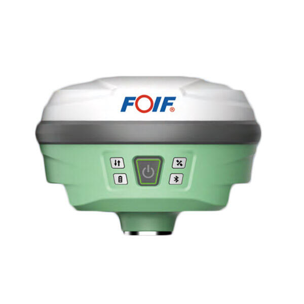
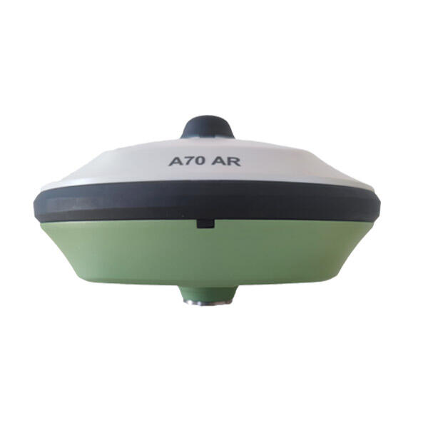
High-Precision GPS RTK Rover: Advanced Positioning Solution for Professional Surveying and Mapping

All Categories

gps rtk rover

A GPS RTK (Real-Time Kinematic) rover is an advanced satellite navigation system that delivers centimeter-level positioning accuracy in real-time. This sophisticated technology combines standard GPS signals with correction data from base stations to achieve unprecedented precision in location measurements. The system operates by processing both the carrier phase and code measurements from GPS satellites, while simultaneously receiving correction data from a fixed base station or network. This dual-input approach enables the rover to eliminate common GPS errors and achieve accuracy levels far superior to traditional GPS systems. The rover component is typically a portable, field-deployable unit equipped with a GPS receiver, radio or cellular modem for receiving corrections, and internal processing capabilities. Modern GPS RTK rovers often feature integrated tablets or controllers with user-friendly interfaces, enabling operators to collect and verify data in the field efficiently. These devices are designed to withstand various environmental conditions and offer extended battery life for prolonged field operations. They commonly include features such as tilt compensation, which allows for accurate measurements even when the pole isn't perfectly level, and multi-constellation support for enhanced reliability and coverage. The technology finds extensive applications in surveying, precision agriculture, construction, mining, and various other industries where precise positioning is crucial.

New Product Recommendations

GPS RTK rovers offer numerous compelling advantages that make them indispensable tools across various industries. The most significant benefit is their ability to provide real-time centimeter-level accuracy, which dramatically improves efficiency and reliability in field operations. Unlike traditional GPS systems that might require post-processing or offer limited accuracy, RTK rovers deliver precise measurements instantly, allowing for immediate decision-making and verification in the field. This real-time capability significantly reduces project timelines and eliminates the need for multiple site visits. The technology's versatility is another major advantage, as modern RTK rovers can operate in various environments and conditions, from open fields to urban canyons. Many systems now feature advanced tilt compensation, allowing accurate measurements even when the rover isn't perfectly vertical, which increases productivity and reduces physical strain on operators. The integration of multiple satellite constellations (GPS, GLONASS, Galileo, BeiDou) ensures reliable performance even in challenging environments with limited satellite visibility. Cost-effectiveness is another crucial advantage, as RTK rovers eliminate the need for multiple traditional surveying tools and reduce the time required for field operations. The systems typically feature user-friendly interfaces and automated workflows that minimize training requirements and reduce human error. Additionally, many modern RTK rovers offer cloud connectivity, enabling real-time data sharing and collaboration between field teams and office staff, which streamlines project management and quality control processes. The durability and portability of these devices ensure they can withstand demanding field conditions while remaining easy to transport and set up.

Latest News

What Are the Benefits of Using an Android Total Station?

21

Mar

What Are the Benefits of Using an Android Total Station?

View More
What are the common error sources in GNSS RTK positioning and how to mitigate them?

21

Mar

What are the common error sources in GNSS RTK positioning and how to mitigate them?

View More
What are the key differences between GNSS RTK and PPP?

25

Mar

What are the key differences between GNSS RTK and PPP?

View More
How to choose the right RTK GNSS equipment?

22

Apr

How to choose the right RTK GNSS equipment?

View More

Get a Free Quote

Our representative will contact you soon.
Email
Name
Company Name
Message
0/1000

gps rtk rover

Precision and Accuracy Innovation

Precision and Accuracy Innovation

The GPS RTK rover represents a breakthrough in positioning technology with its ability to achieve centimeter-level accuracy in real-time. This exceptional precision is made possible through sophisticated error correction algorithms and the simultaneous processing of signals from multiple satellite constellations. The system continuously receives and processes correction data from base stations, enabling it to compensate for atmospheric effects, satellite orbit errors, and other factors that can impact accuracy. Modern RTK rovers include advanced features such as tilt compensation, which maintains accuracy even when the pole isn't perfectly vertical, and intelligent checking algorithms that verify measurement quality in real-time. This level of precision is particularly valuable in applications such as boundary surveys, construction layout, and precision agriculture, where minimal deviations can have significant consequences.
Robust Field Performance and Reliability

Robust Field Performance and Reliability

Modern GPS RTK rovers are engineered to deliver consistent performance in challenging field conditions. These devices feature rugged construction that meets military-grade standards for dust and water resistance, ensuring reliability in various weather conditions. The integration of multiple satellite constellations significantly improves coverage and reliability, particularly in areas with limited sky visibility. Advanced power management systems provide extended operation times, while hot-swappable batteries enable continuous operation during long workdays. The systems include sophisticated interference mitigation technology to maintain accuracy even in areas with potential signal disturbances. Real-time quality indicators and integrity monitoring ensure users can trust their measurements, while automated calibration features maintain system accuracy over time.
Seamless Integration and Connectivity

Seamless Integration and Connectivity

Today's GPS RTK rovers excel in their ability to integrate seamlessly with existing workflows and systems. They feature comprehensive connectivity options, including Bluetooth, Wi-Fi, and cellular capabilities, enabling real-time data transfer and remote support. The systems support industry-standard data formats and protocols, making it easy to exchange information with various software platforms and tools. Cloud-based solutions enable real-time collaboration between field crews and office staff, while automated synchronization ensures data consistency across all platforms. Many rovers include built-in cameras and sensors that enhance documentation capabilities, allowing users to capture georeferenced photos and additional metadata along with position measurements. The integration capabilities extend to third-party applications and services, enabling customized solutions for specific industry requirements.