gps rtk
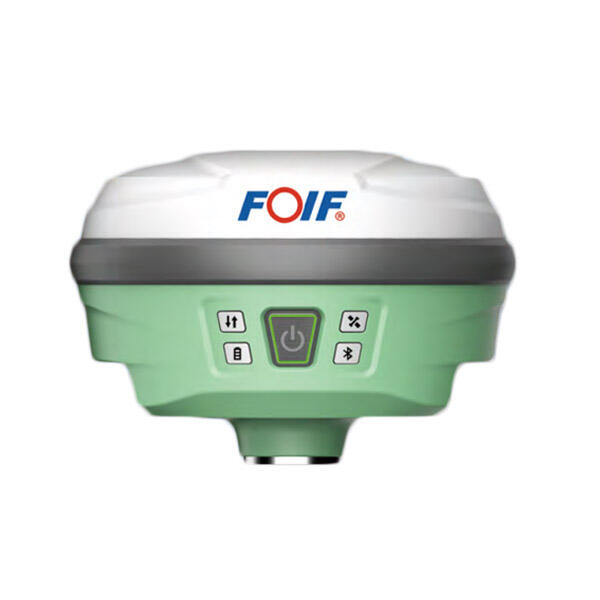
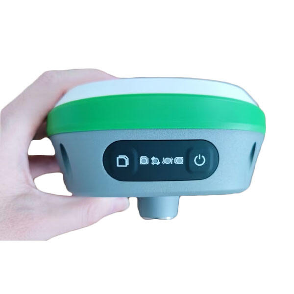
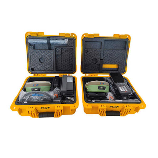
GPS RTK (Real-Time Kinematic) represents a significant advancement in precision positioning technology, providing centimeter-level accuracy for various applications. This sophisticated system enhances standard GPS functionality by utilizing a base station that transmits correction data to mobile receivers in real-time. The base station, positioned at a known fixed location, compares its known position with GPS satellite measurements to calculate correction factors. These corrections are then transmitted to mobile RTK receivers, enabling them to achieve remarkable accuracy levels of 1-2 centimeters horizontally and 2-3 centimeters vertically. The system processes both code and carrier phase measurements from GPS satellites, allowing for precise position determination. RTK technology operates by resolving carrier phase ambiguities in real-time, making it particularly valuable for applications requiring instant, high-precision positioning. The system works optimally when mobile receivers maintain clear communication with both the base station and GPS satellites, typically within a range of 20-30 kilometers from the base station. Modern GPS RTK systems often incorporate multiple satellite constellations, including GPS, GLONASS, Galileo, and BeiDou, enhancing reliability and accuracy across various operating conditions.


