best rtk
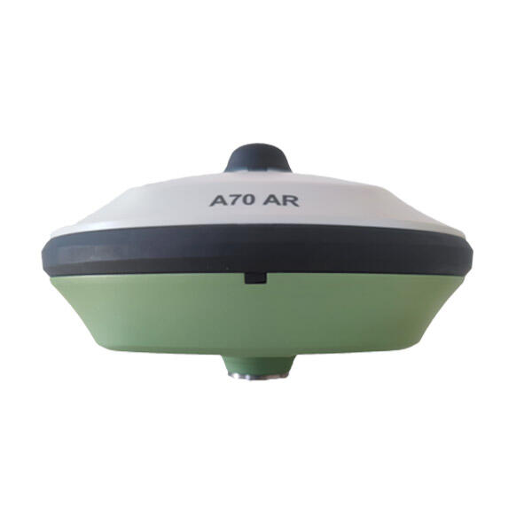
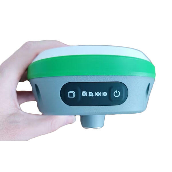
Real-Time Kinematic (RTK) positioning represents the pinnacle of modern GPS technology, offering centimeter-level accuracy for precise positioning applications. This advanced satellite navigation technique uses carrier-based ranging and provides real-time corrections, enabling unprecedented accuracy in position determination. The best RTK systems combine multiple satellite constellations including GPS, GLONASS, Galileo, and BeiDou, maximizing satellite visibility and reliability. These systems typically consist of a base station that remains at a known location and a rover unit that moves around the area of interest. The base station transmits correction data to the rover through various communication channels, most commonly radio or cellular networks. Modern RTK systems feature multi-frequency receivers, advanced error modeling algorithms, and sophisticated filtering techniques to minimize the impact of atmospheric disturbances, multipath errors, and other sources of positioning uncertainty. The technology finds extensive applications in precision agriculture, surveying, construction, autonomous vehicles, and scientific research, where high-precision positioning is crucial for success.