rtk system
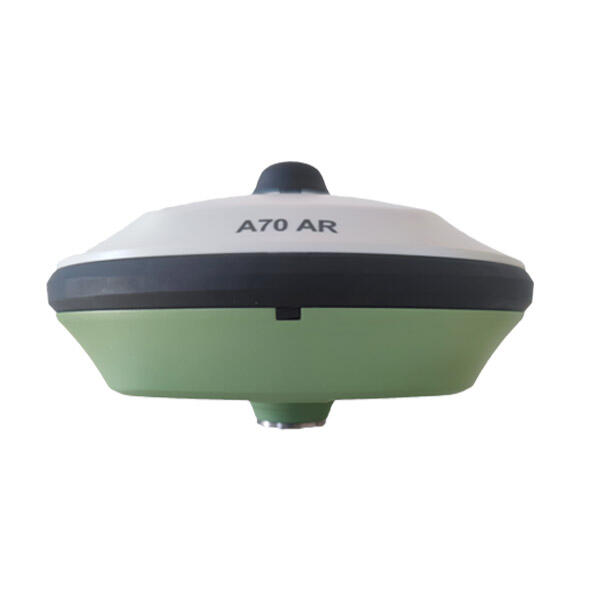
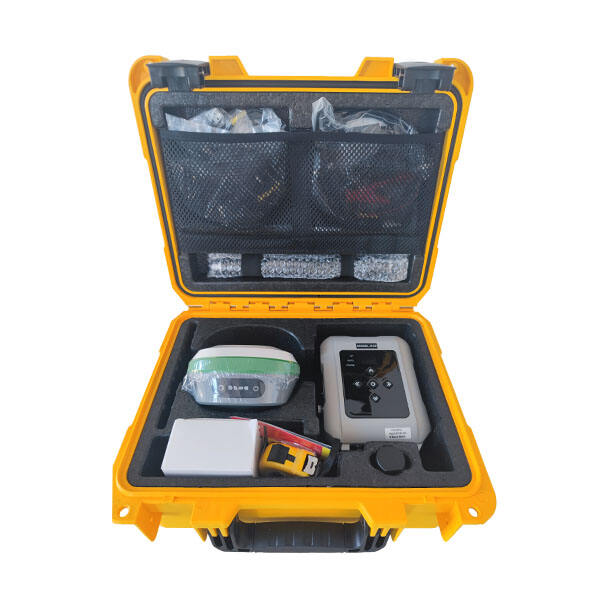
RTK (Real-Time Kinematic) system represents a significant advancement in GPS technology, delivering centimeter-level positioning accuracy in real-time. This sophisticated system utilizes a network of fixed base stations that transmit correction data to mobile receivers, enabling precise positioning and navigation capabilities. The RTK system operates by comparing signals from GPS satellites at both the base station and rover units, processing carrier phase measurements to achieve highly accurate position determination. The system's architecture includes three main components: base stations, rovers, and communication links. Base stations, positioned at known coordinates, continuously monitor satellite signals and calculate corrections. Rovers, which are mobile units, receive both GPS signals and correction data from base stations. The communication infrastructure ensures seamless data transmission between components, typically using radio or cellular networks. This technology finds extensive applications across various industries, including precision agriculture, construction, surveying, and autonomous vehicle navigation. The system's ability to provide real-time corrections makes it invaluable for applications requiring precise positioning, such as machine control systems, precision farming, and high-accuracy mapping. Modern RTK systems can process signals from multiple satellite constellations, including GPS, GLONASS, Galileo, and BeiDou, enhancing reliability and accuracy across different geographical locations.