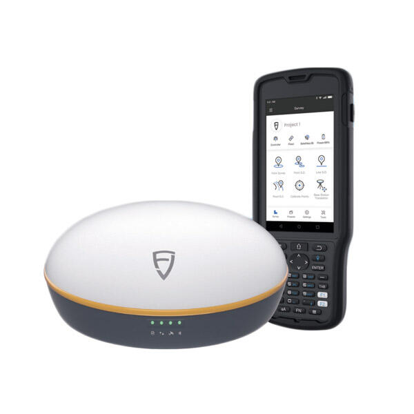
gnss rtk base and rover
GNSS RTK (Real-Time Kinematic) base and rover systems represent a cutting-edge solution in precise positioning technology. This system consists of two main components: a stationary base station and a mobile rover unit. The base station is positioned at a known location and continuously transmits correction data to the rover unit, enabling real-time, highly accurate positioning measurements. The system utilizes advanced GNSS signals from multiple satellite constellations, including GPS, GLONASS, Galileo, and BeiDou, to achieve centimeter-level accuracy. The base station tracks satellite signals and calculates corrections based on its known position, while the rover receives these corrections and applies them to its own satellite measurements. This technology incorporates sophisticated algorithms for signal processing, error correction, and ambiguity resolution, ensuring reliable and precise positioning data. Applications span across various industries, including surveying, precision agriculture, construction, and GIS mapping. The system's ability to provide real-time corrections makes it invaluable for dynamic applications requiring immediate, accurate positioning information.


