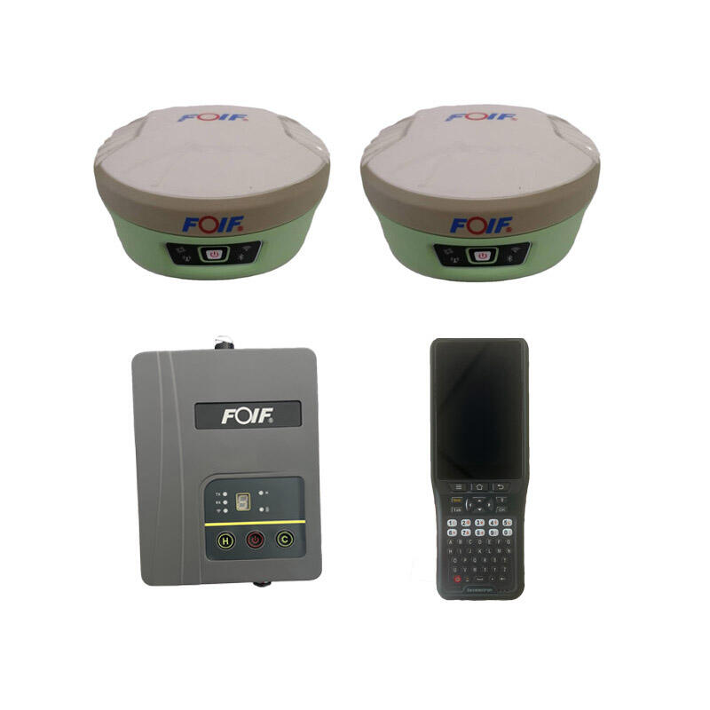
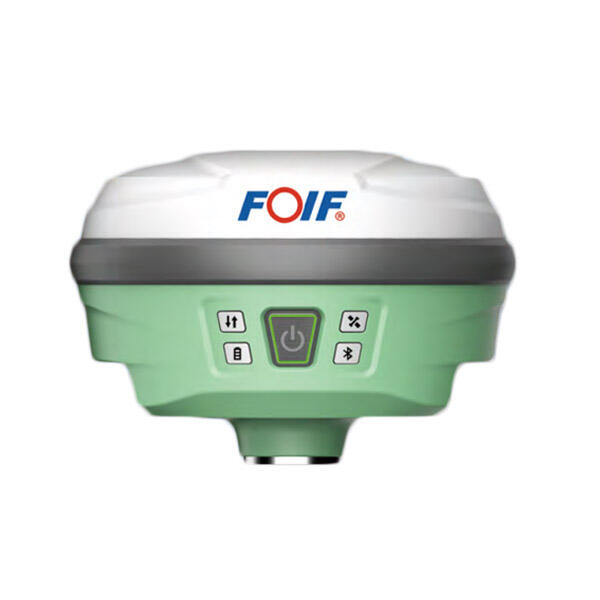
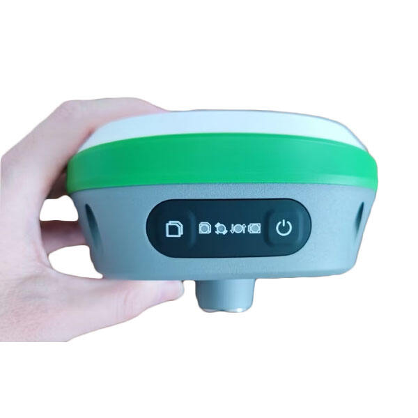
High-Precision Laser RTK System: Advanced Positioning Solution for Professional Applications

All Categories

laser rtk

Laser RTK (Real-Time Kinematic) represents a cutting-edge advancement in precision positioning technology, combining laser measurement capabilities with RTK satellite navigation systems. This innovative system delivers centimeter-level accuracy in real-time positioning and measurement applications. The technology works by integrating high-precision laser distance measurements with RTK GNSS positioning, creating a robust solution for various industrial and surveying applications. The system utilizes advanced laser technology to measure distances and angles with exceptional accuracy, while the RTK component provides precise geographical positioning through satellite signals. This dual-technology approach enables users to achieve highly accurate measurements even in challenging environments where traditional GPS or laser systems alone might struggle. The laser RTK system processes data in real-time, offering immediate results for surveyors, construction teams, and precision agriculture applications. It features sophisticated error correction algorithms that account for atmospheric conditions, signal interference, and other potential sources of measurement error. The system's versatility allows it to excel in both indoor and outdoor environments, making it an invaluable tool for applications ranging from construction site layout to precise machine guidance and automated systems.

New Product Releases

The laser RTK system offers numerous compelling advantages that set it apart in the precision measurement industry. First and foremost, its ability to provide real-time, centimeter-level accuracy significantly reduces the time and effort required for surveying and positioning tasks. This immediate feedback capability allows operators to make quick decisions and adjustments in the field, improving overall project efficiency. The system's dual-technology approach ensures reliable performance in various environmental conditions, offering a robust solution where traditional single-technology systems might fail. The integration of laser and RTK technologies provides redundancy and cross-validation of measurements, enhancing the overall reliability of results. Users benefit from the system's versatility, as it can seamlessly transition between indoor and outdoor applications without requiring additional equipment or complex setup procedures. The advanced error correction capabilities ensure consistent accuracy regardless of atmospheric conditions or signal interference, reducing the need for repeated measurements and minimizing project delays. The system's user-friendly interface makes it accessible to operators with varying levels of technical expertise, reducing training time and increasing productivity. Additionally, the laser RTK system's ability to interface with various software platforms and data collection systems ensures seamless integration with existing workflows and documentation processes. The technology's precision and reliability make it particularly valuable in applications requiring strict quality control and documentation, such as construction layout, machine control, and precision agriculture.

Practical Tips

What are the common error sources in GNSS RTK positioning and how to mitigate them?

21

Mar

What are the common error sources in GNSS RTK positioning and how to mitigate them?

View More
What are the key differences between GNSS RTK and PPP?

25

Mar

What are the key differences between GNSS RTK and PPP?

View More
What are the common error sources and solutions when using RTK GNSS?

22

Apr

What are the common error sources and solutions when using RTK GNSS?

View More
Applicable Scenarios and Selection Tips for Different Types of Total Stations

22

Apr

Applicable Scenarios and Selection Tips for Different Types of Total Stations

View More

Get a Free Quote

Our representative will contact you soon.
Email
Name
Company Name
Message
0/1000

laser rtk

Unmatched Precision and Reliability

Unmatched Precision and Reliability

The laser RTK system's precision capabilities represent a significant advancement in measurement technology. By combining laser measurement with RTK positioning, the system achieves sub-centimeter accuracy consistently across various applications. This level of precision is maintained through sophisticated algorithms that continuously monitor and adjust for environmental factors affecting measurement accuracy. The system's reliability is enhanced through redundant measurement capabilities, where laser and RTK technologies serve as mutual verification systems. This dual-verification approach significantly reduces the possibility of measurement errors and ensures consistent results even in challenging environments. The system's advanced error correction mechanisms actively compensate for atmospheric disturbances, signal multipath effects, and other potential sources of measurement error, delivering dependable results in real-time.
Versatile Application Integration

Versatile Application Integration

The laser RTK system's versatility makes it an invaluable tool across numerous industries and applications. Its ability to seamlessly integrate with existing workflows and systems enables efficient adoption in various professional settings. The system supports multiple data formats and communication protocols, allowing it to interface with common industry software platforms and machine control systems. This integration capability extends to both traditional surveying applications and modern automated systems, making it equally effective in manual operations and autonomous machinery guidance. The system's adaptability to different environmental conditions and operational requirements makes it suitable for applications ranging from precise construction layout to agricultural guidance systems and industrial automation.
Enhanced Operational Efficiency

Enhanced Operational Efficiency

The laser RTK system significantly improves operational efficiency through its real-time processing capabilities and user-friendly interface. The immediate availability of precise measurement data eliminates the need for post-processing and reduces the time required for decision-making in the field. The system's intuitive operation reduces the learning curve for new users while providing advanced features for experienced operators. Its ability to maintain accuracy over long distances and in various weather conditions minimizes the need for multiple setup positions and repeated measurements. The system's efficient power management and robust design ensure reliable operation throughout extended work periods, reducing downtime and maintaining productivity. Additionally, the automated data logging and reporting features streamline documentation processes and quality control procedures.